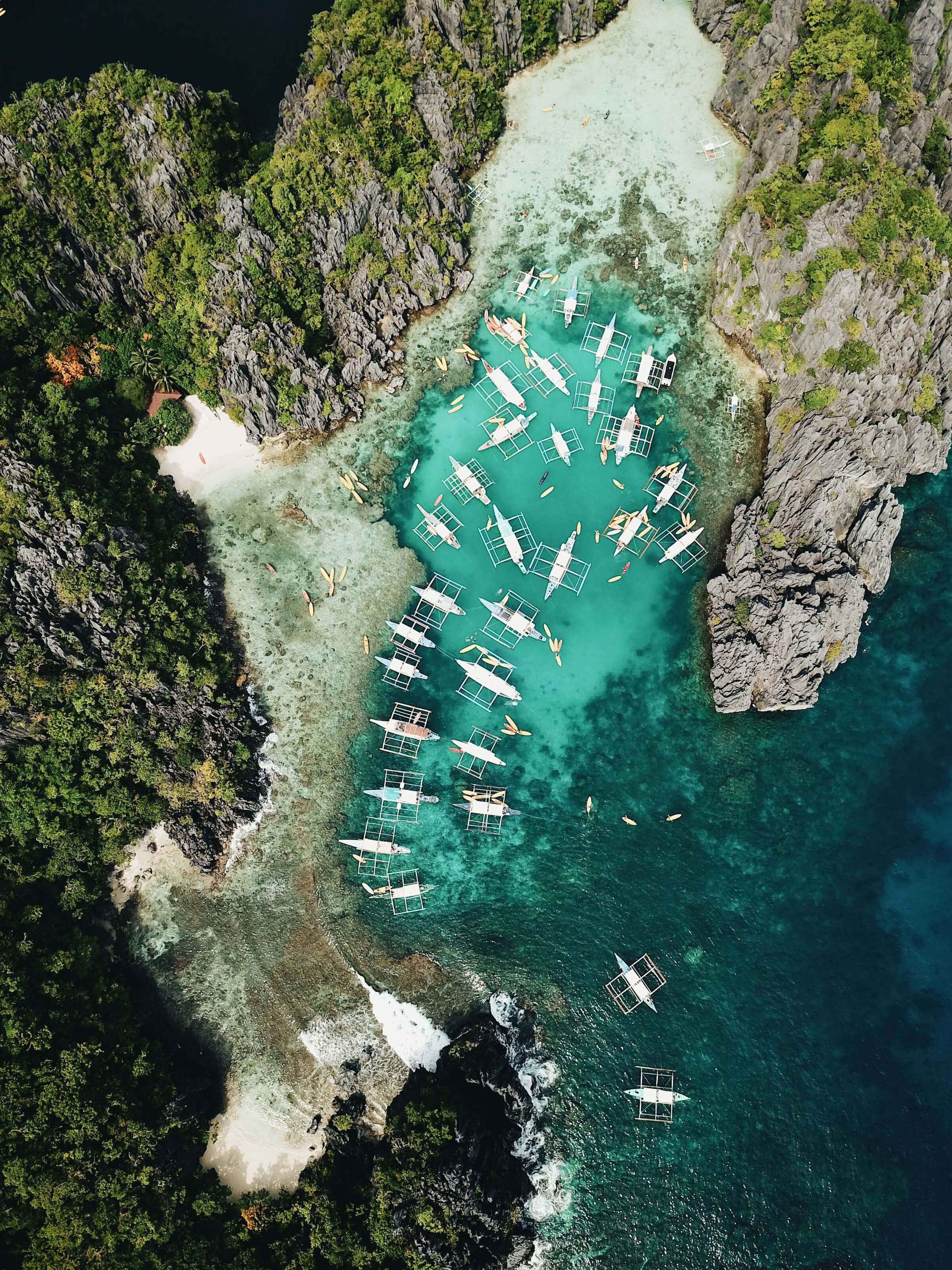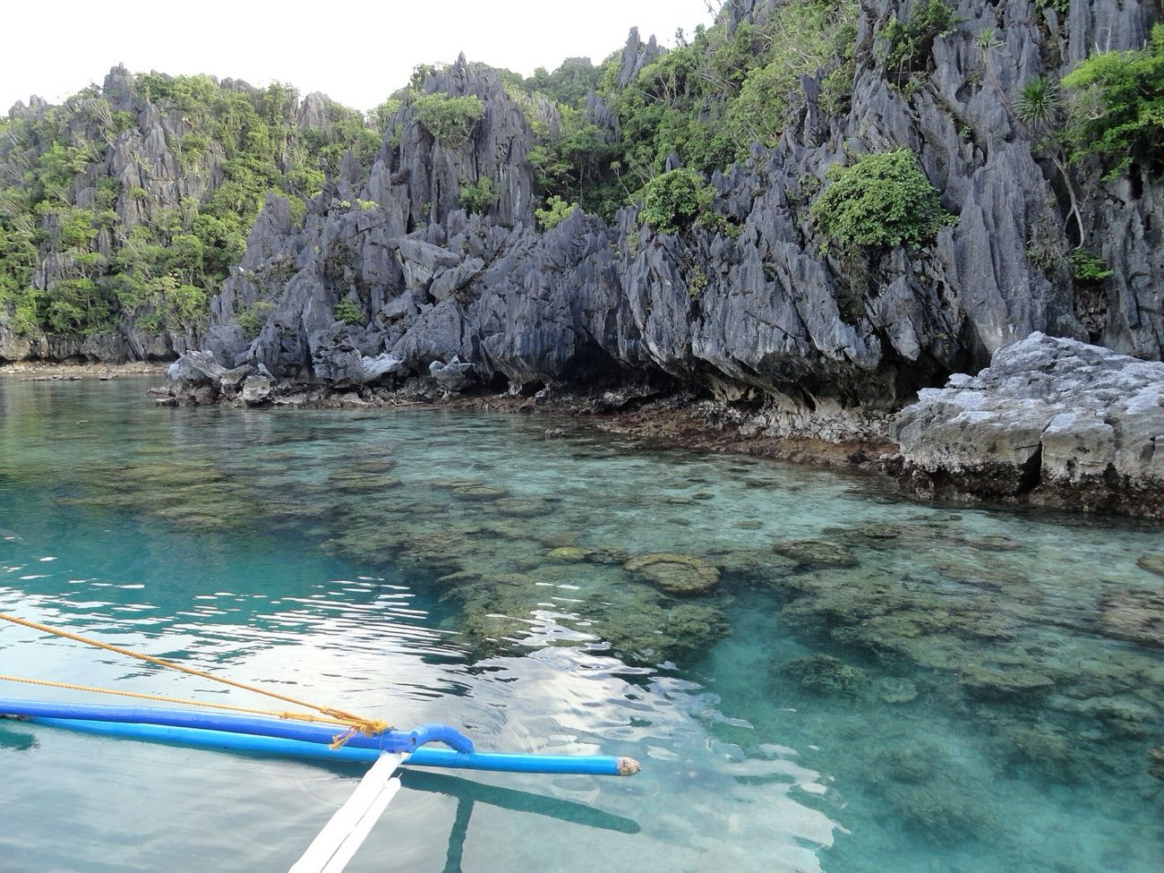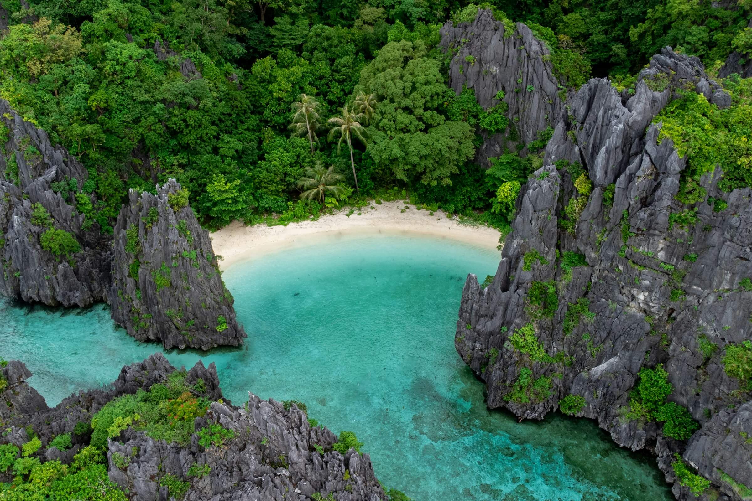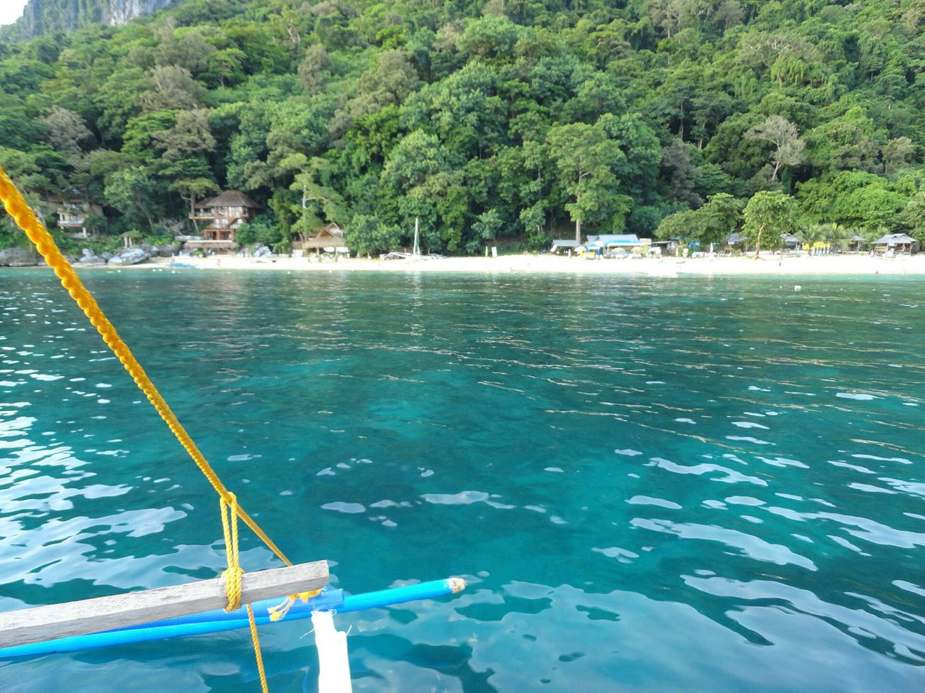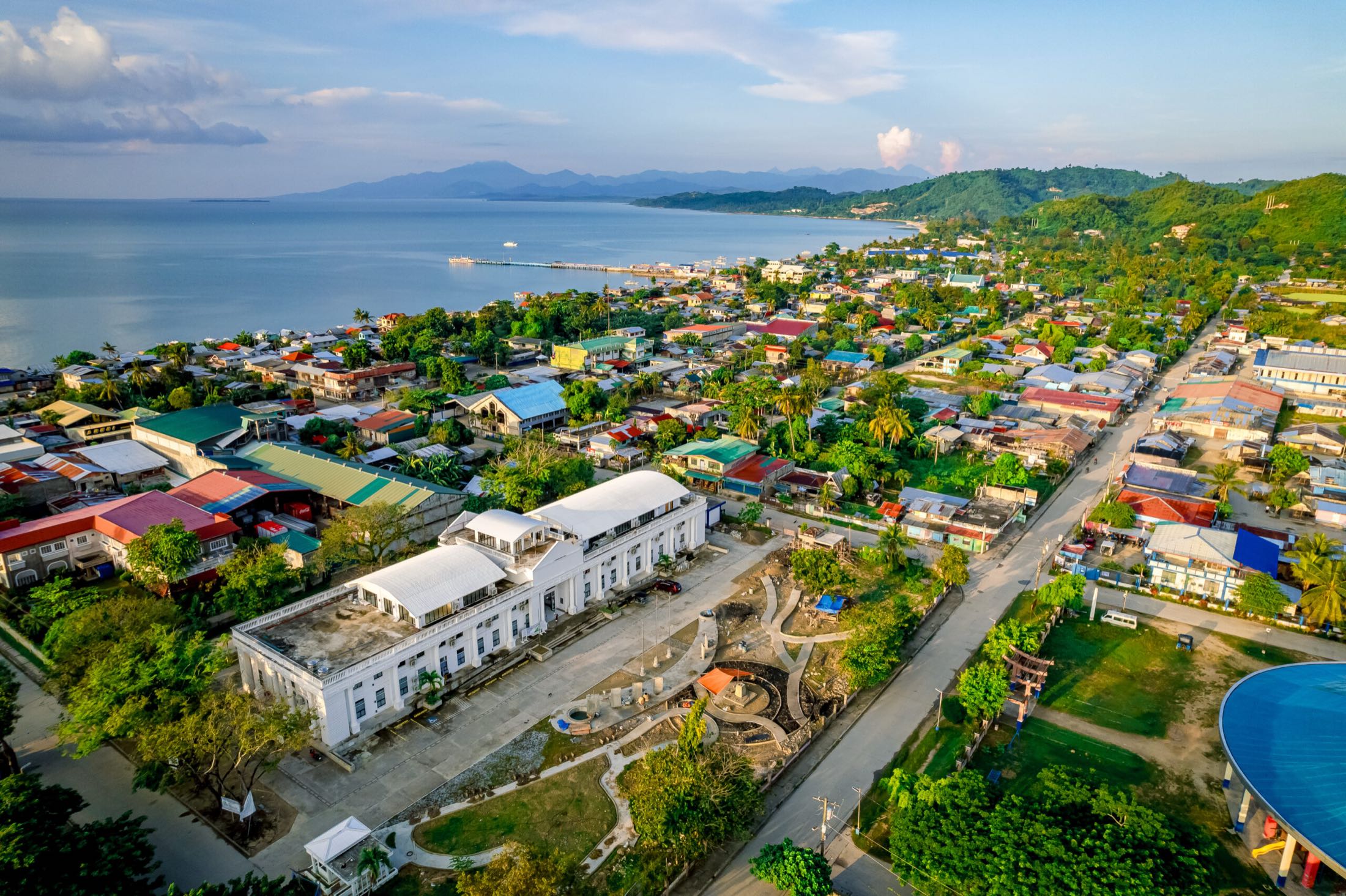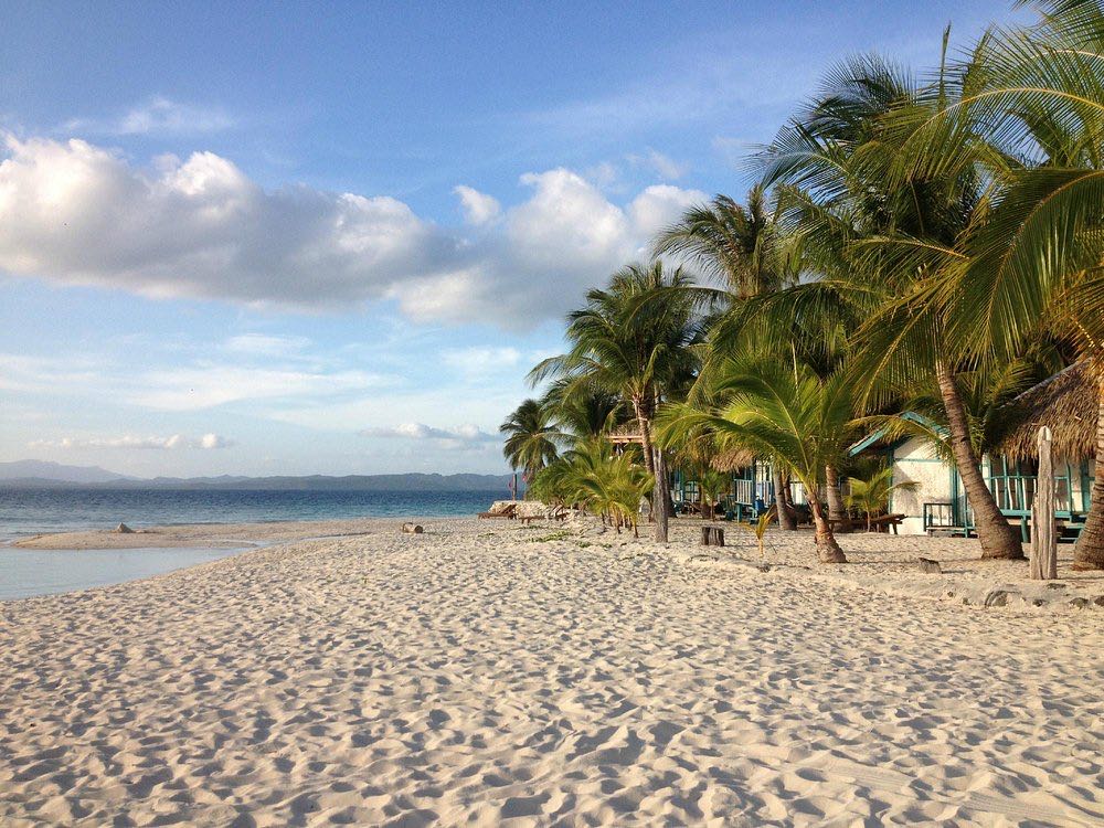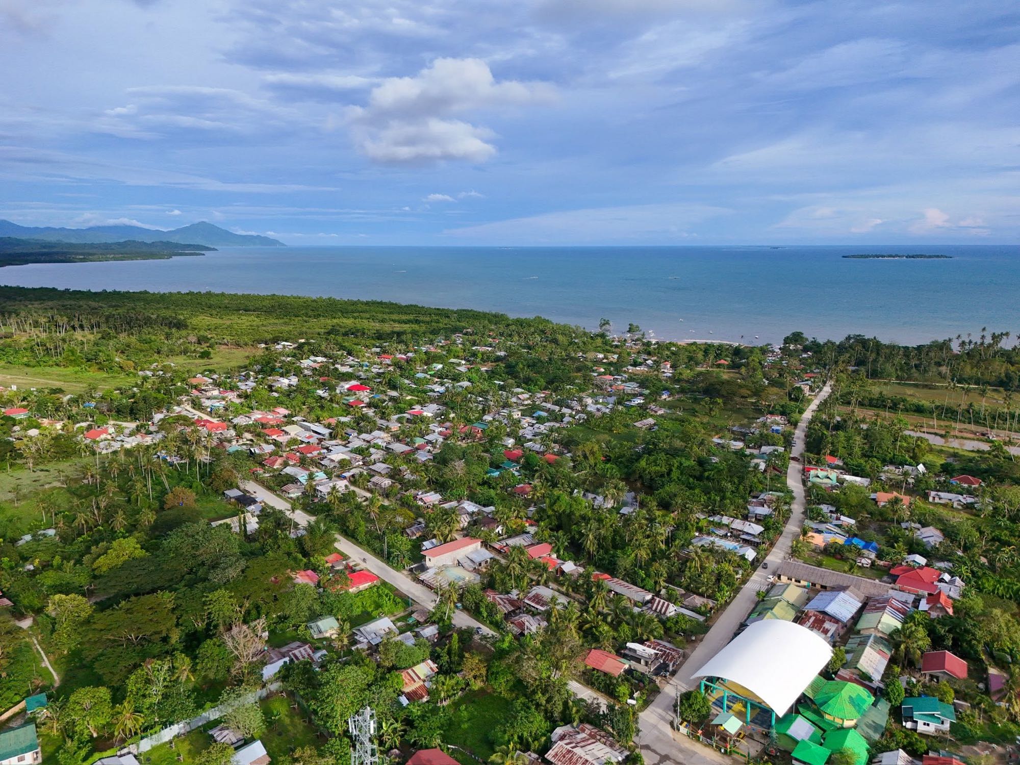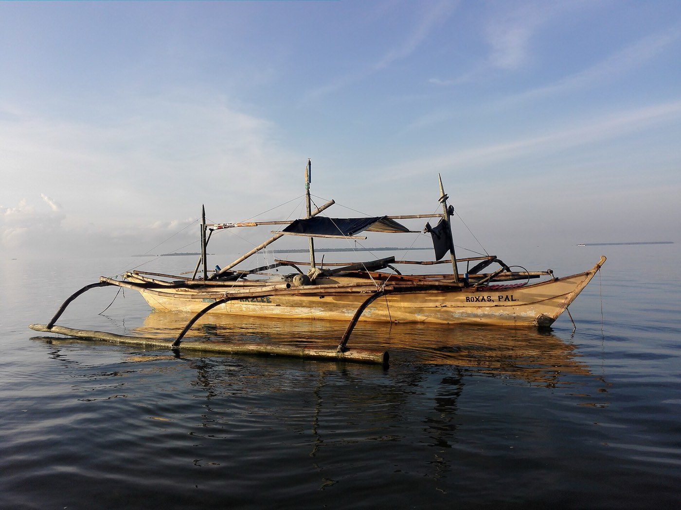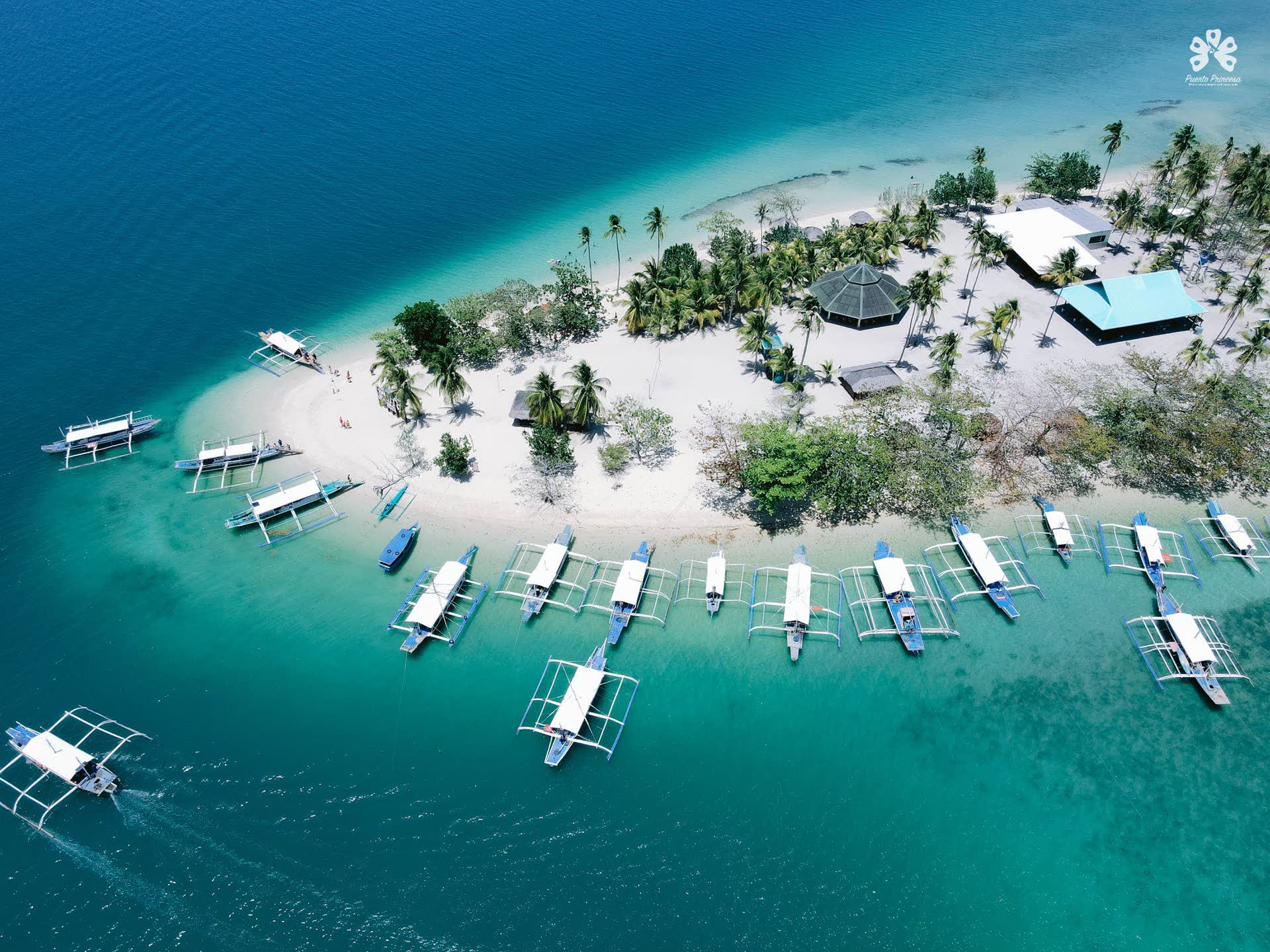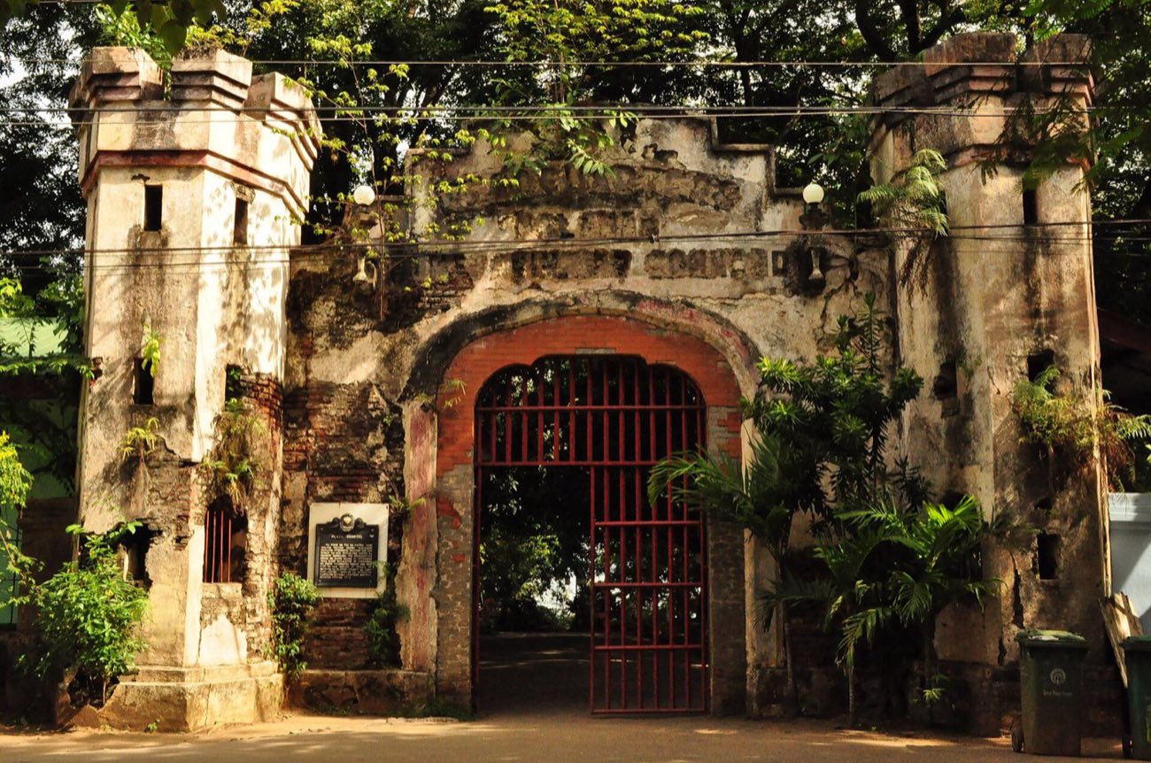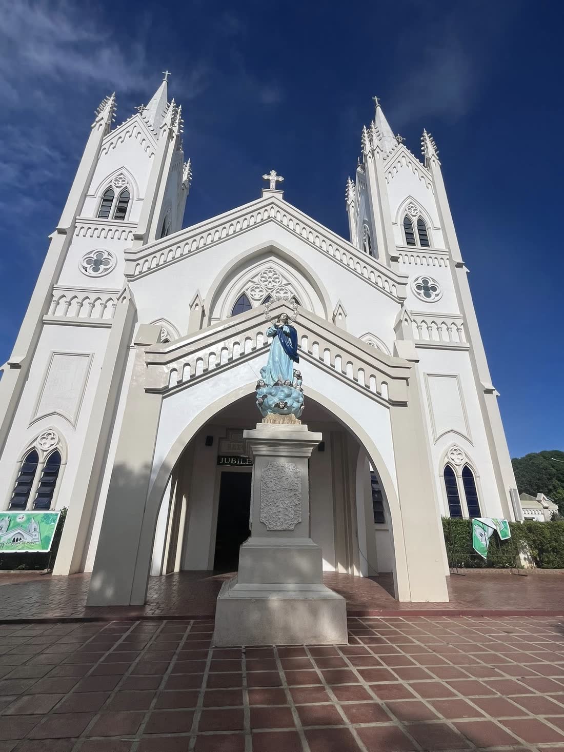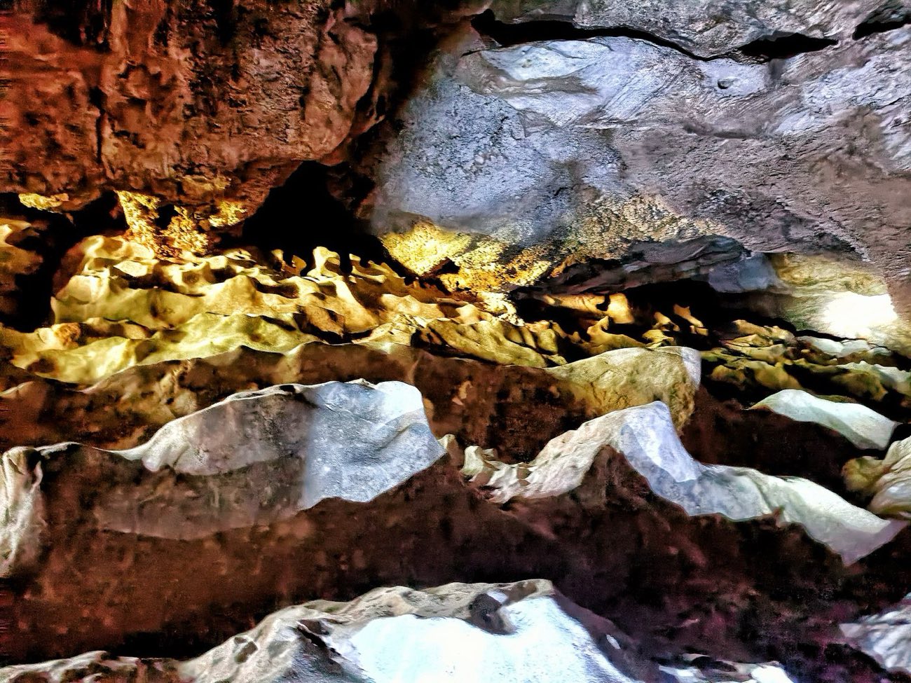

Unofficial concept by Vivito; not the official website of the Province of Palawan. Visit palawan.gov.ph.

Palawan · The long voyage

Vivito IT Solutions · A website concept

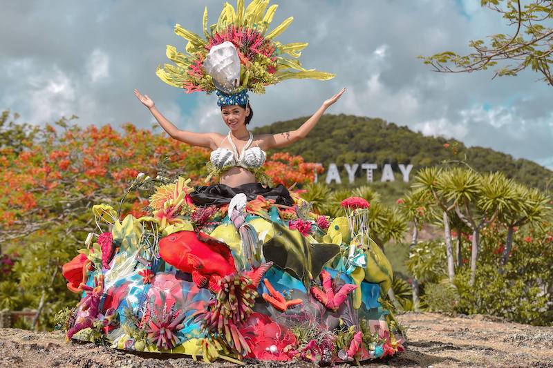
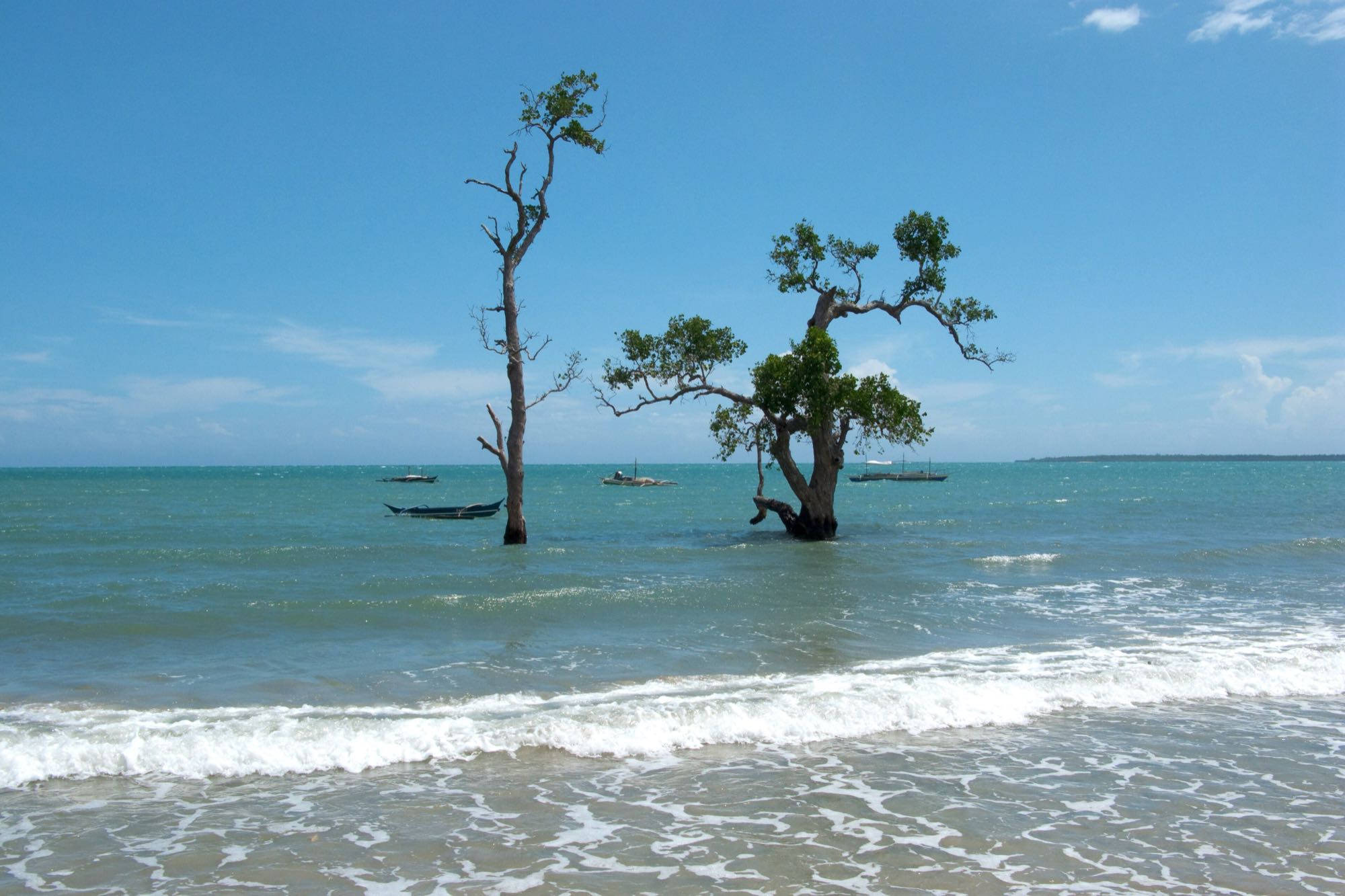
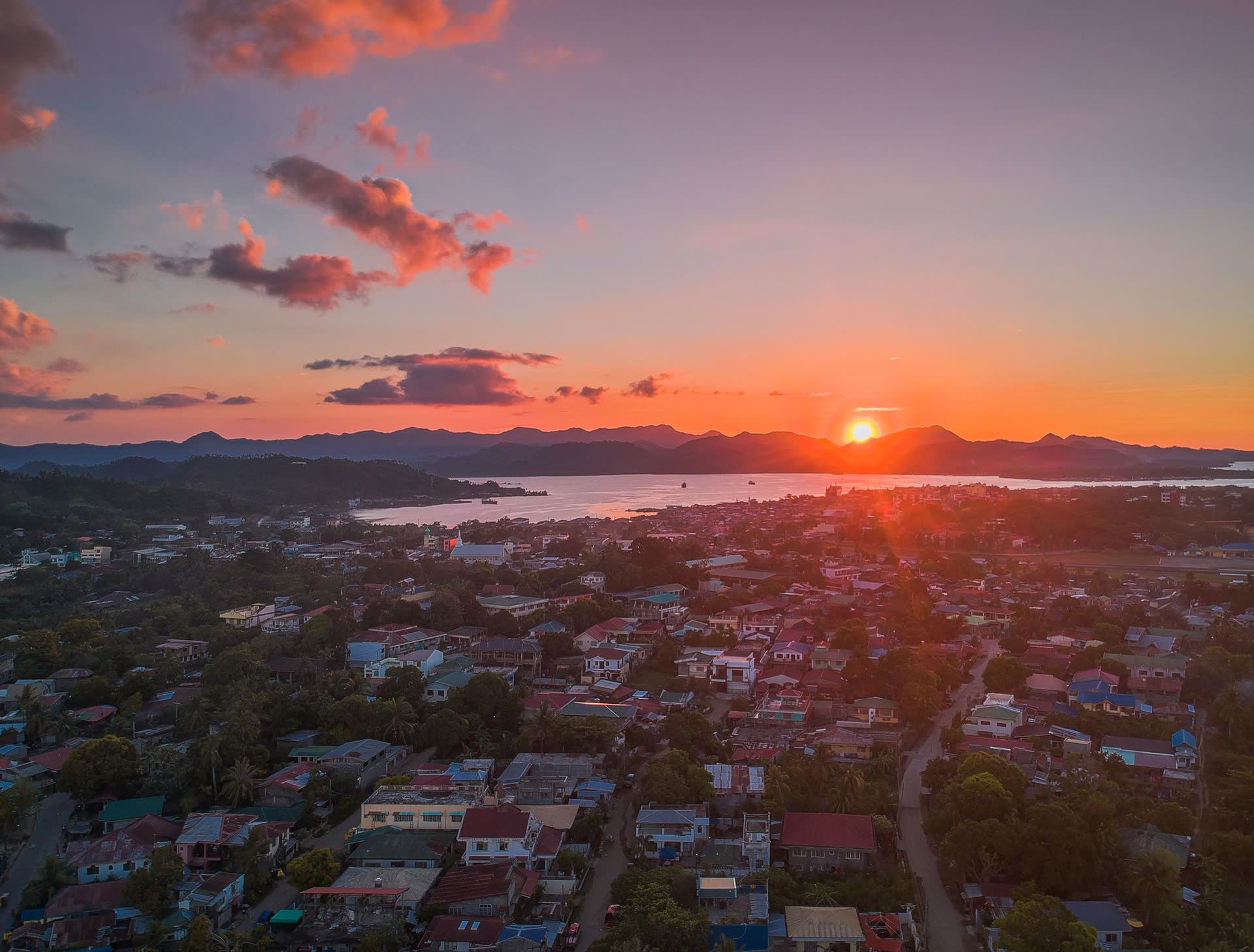
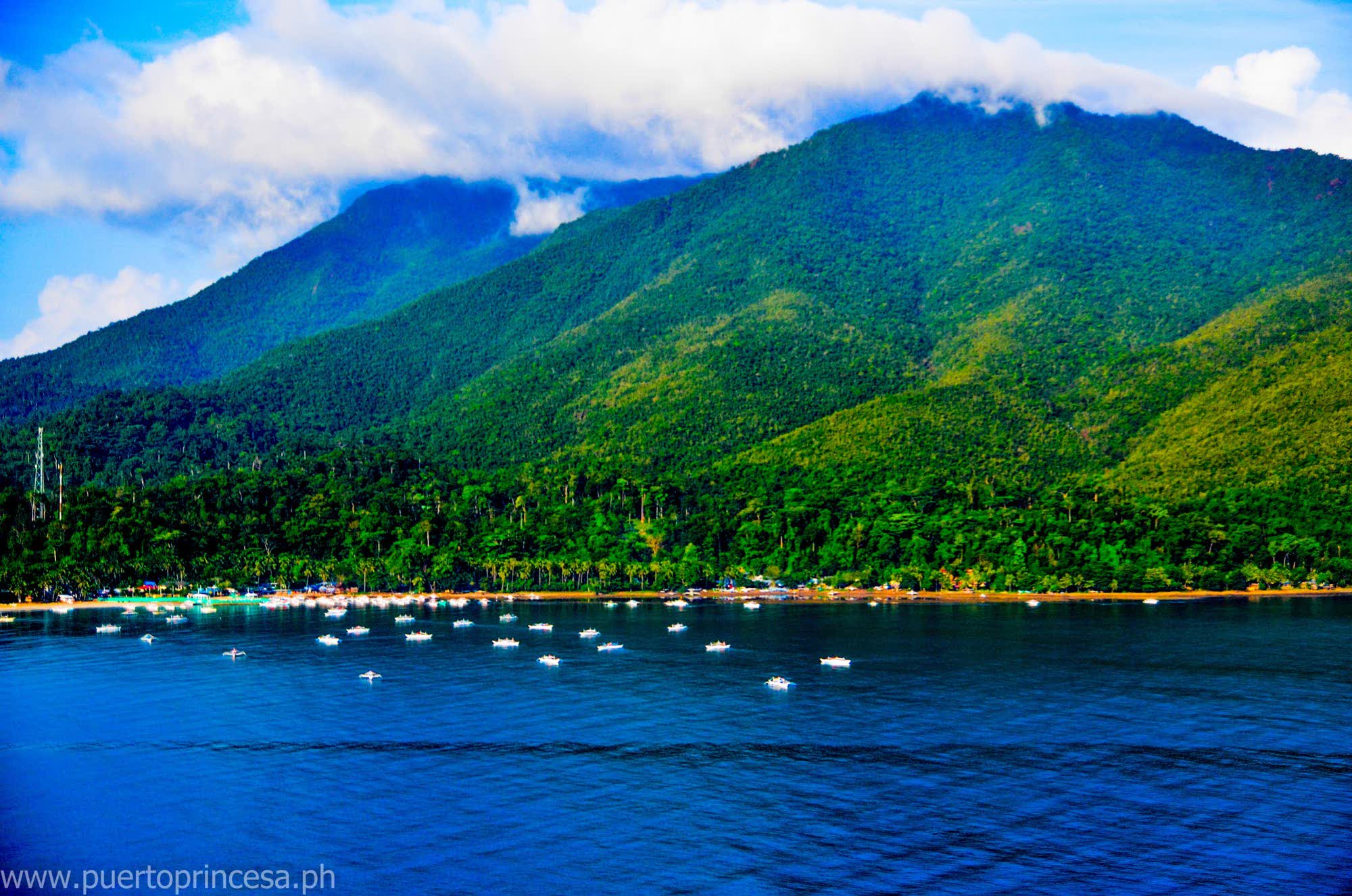
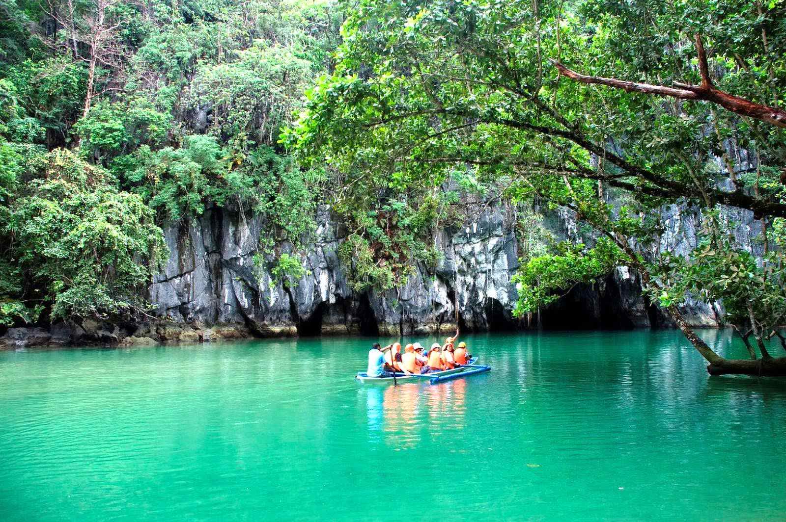
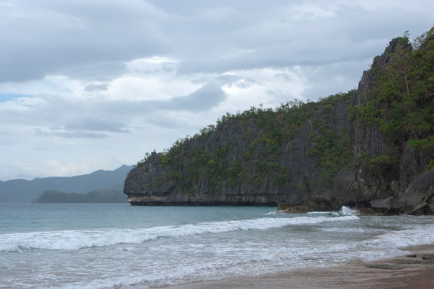
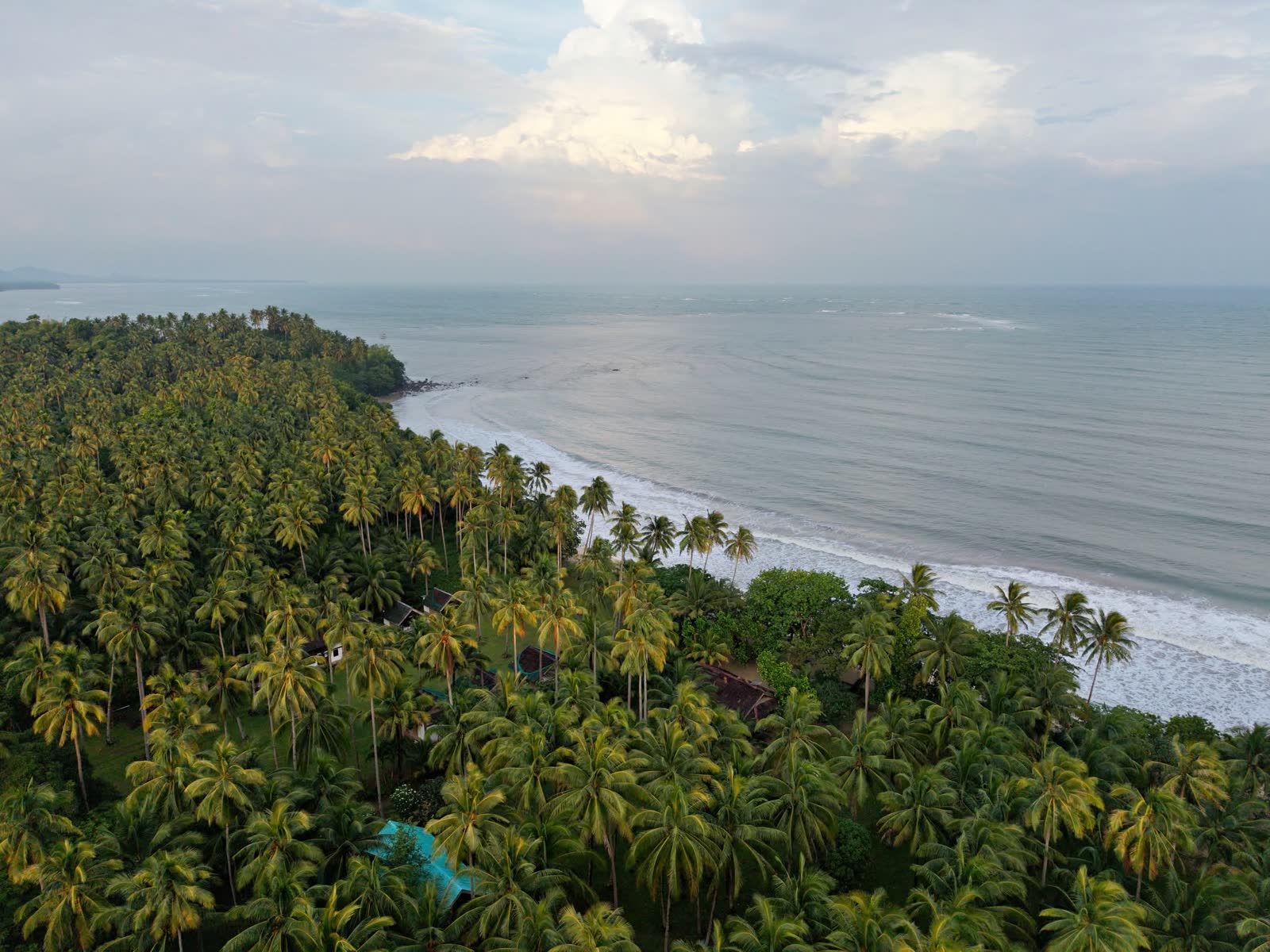
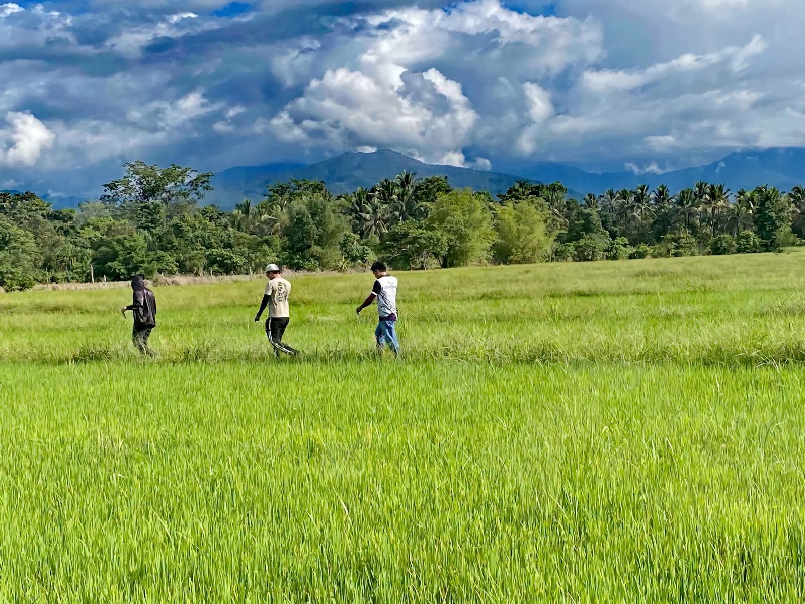
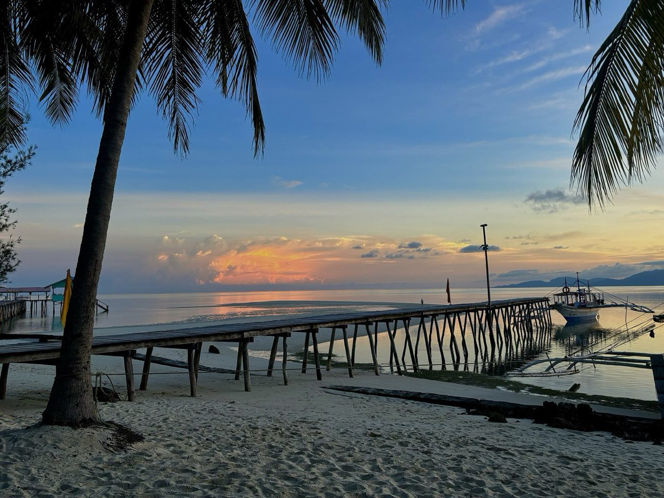
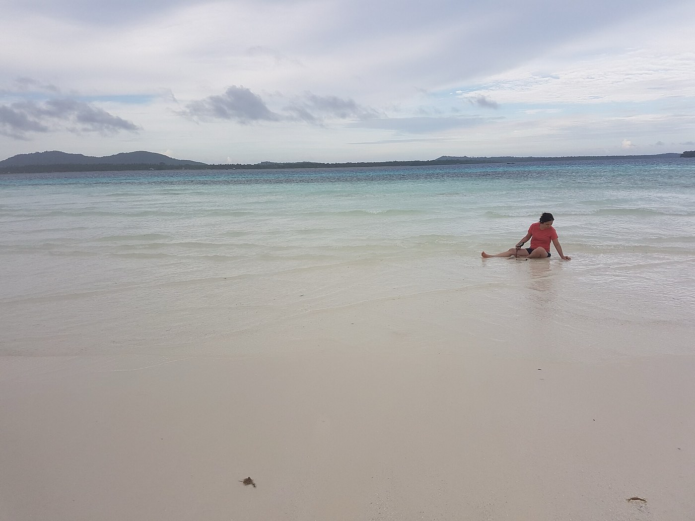
Palawan, the long voyage, is a design study by Vivito IT Solutions, made to show the beauty of the province: its islands, its sea and its people. It shows what is possible, so some pictures are placed for mood and may not match their captions. It is not the official website of the Provincial Government of Palawan. For services, visit palawan.gov.ph.

Some places are found.
Others wait at the edge of every map.

“We called that land the land of promise, because we suffered great hunger before we found it.”

Antonio Pigafetta, reaching Palawan with Magellan’s fleet, June 1521
Skip to the island
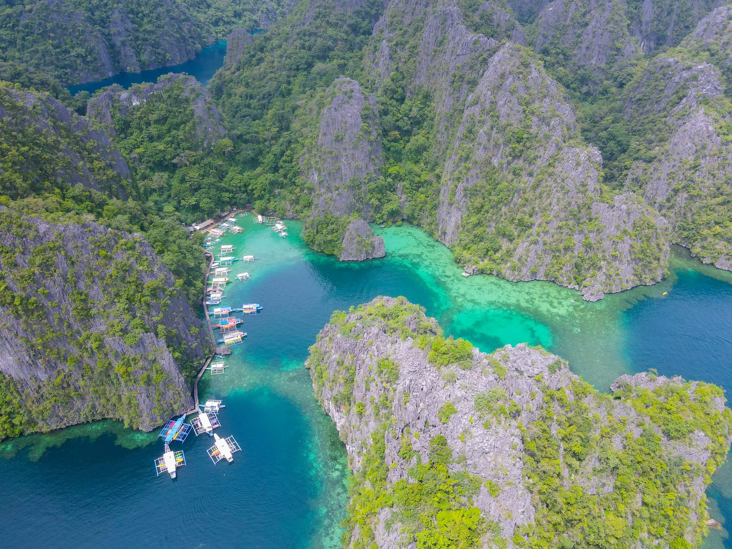
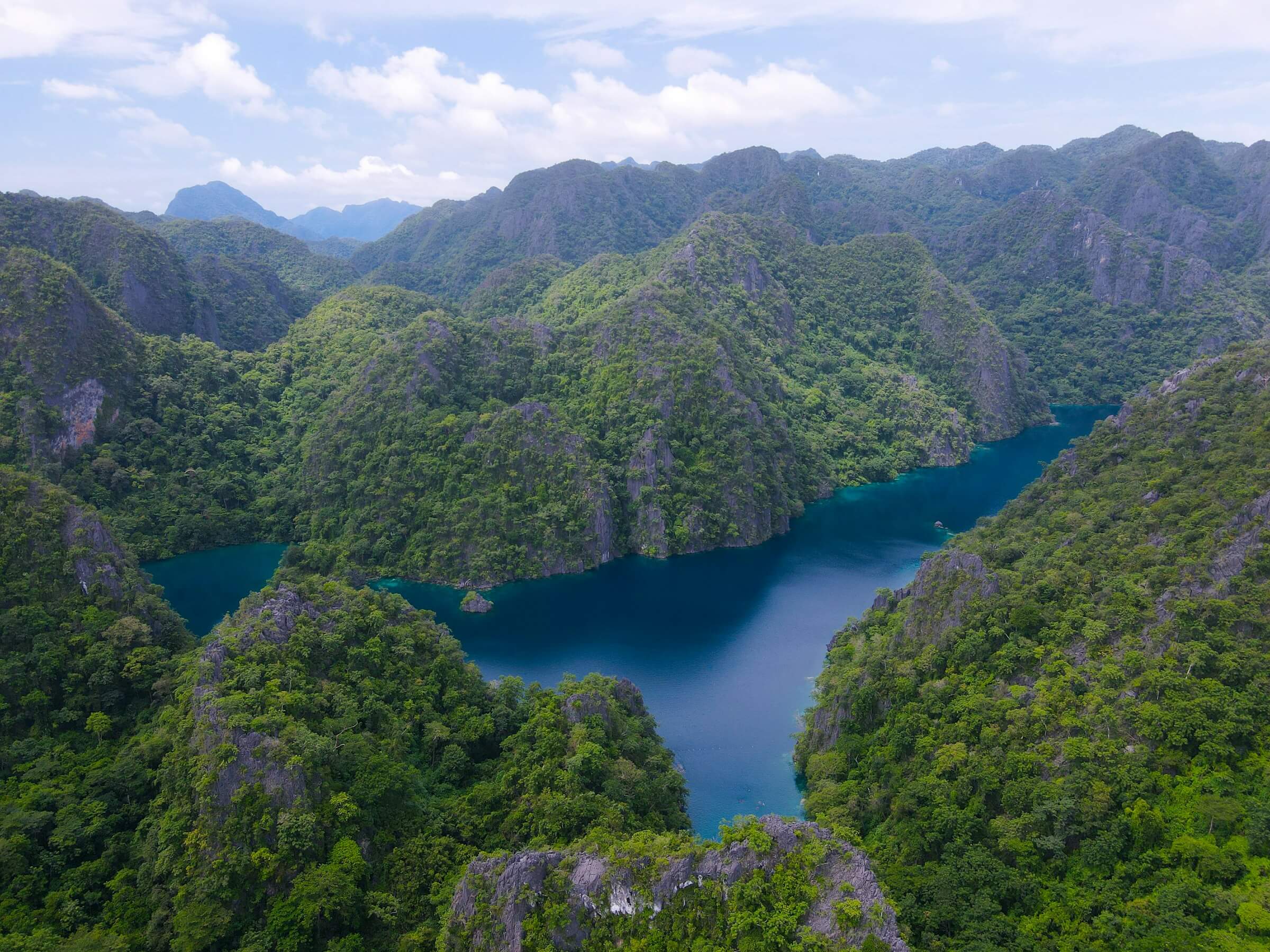
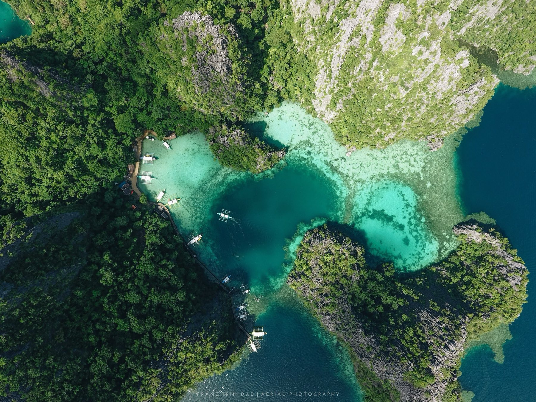
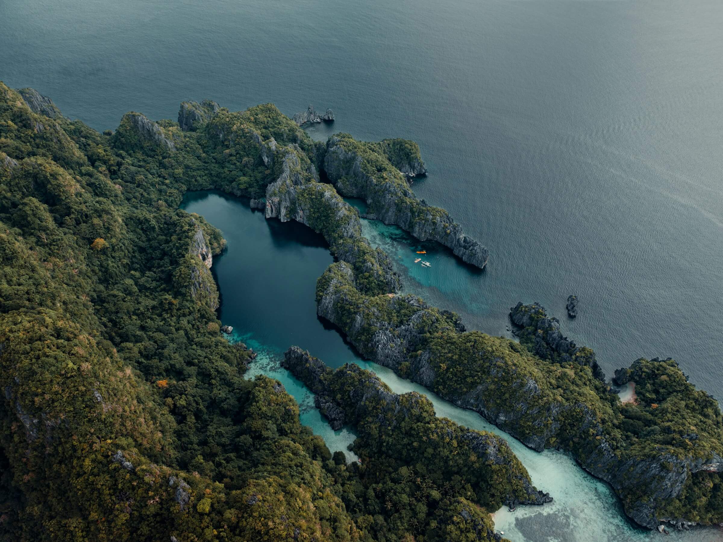
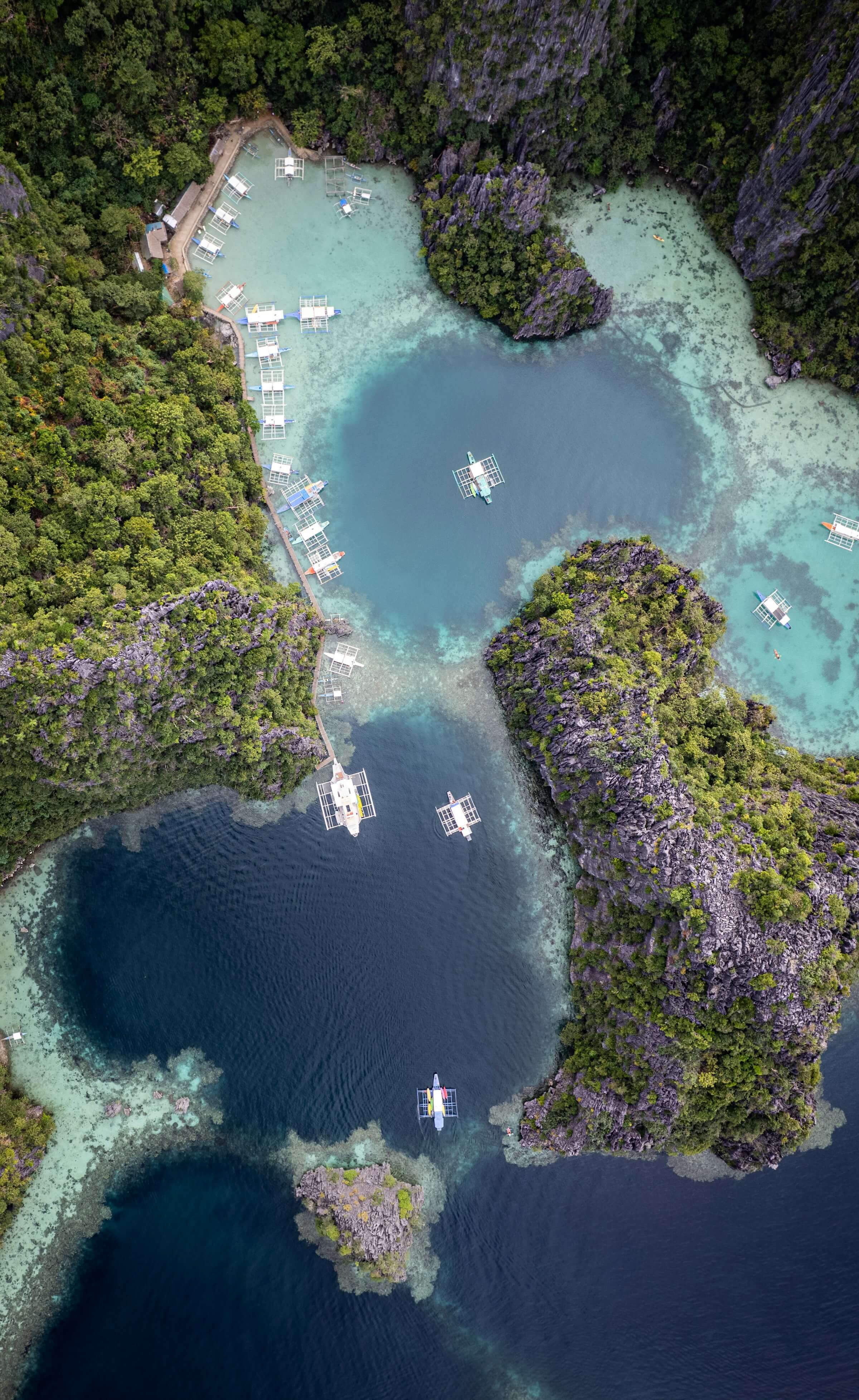
Aerial of Kayangan Lake and the karst of Coron Island

Palawan

The last frontier.

Franz C. Trinidad · CC BY-SA 4.0

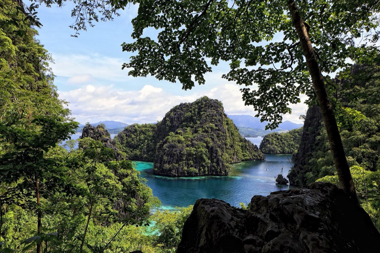
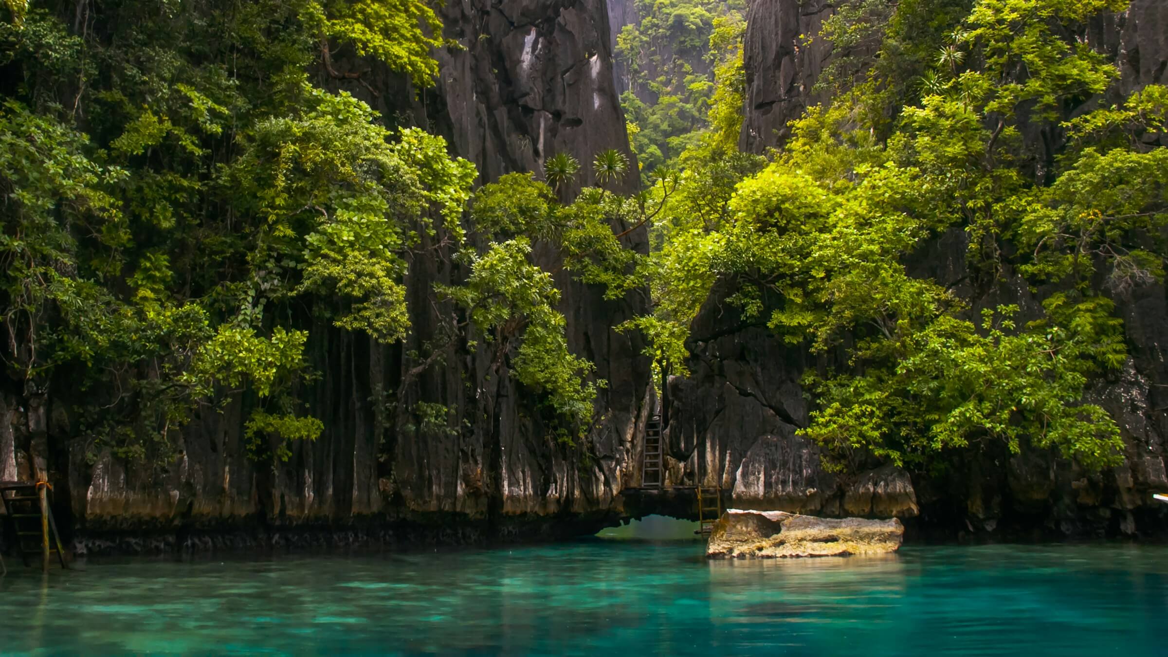
Still water under forested cliffs
Prologue · Deep time years ago

Deep time: the Tabon Caves

In 1962, in a cave at Lipuun Point, Robert B. Fox of the National Museum found the bones of people who lived here long before anything was written down.

A piece of skull, dated directly: 16,500 years old, give or take two thousand.

A shinbone from later digs: about 47,000 years, by uranium-series dating. The figure is still debated, but these are the oldest human remains yet found in the Philippines.

Before the townsA History of
Palawan.

Two souls in a boat.

About 3,000 years ago · Manunggul Cave, Quezon

Two souls in a boat.

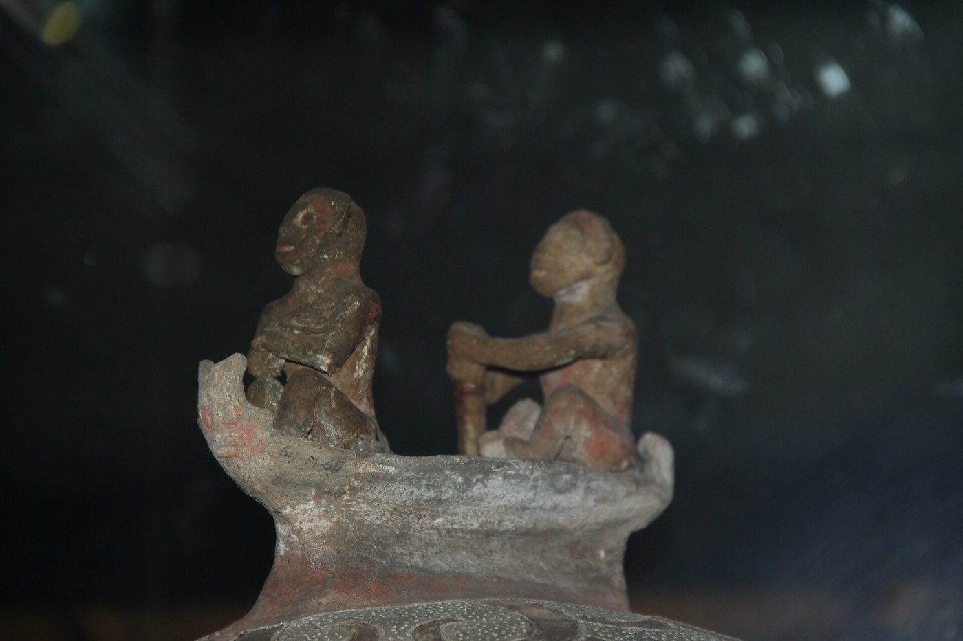
A burial jar from the Tabon caves. On its lid, two figures paddle a soul to the afterlife.

Vivito Tech · Watercolour

Jade across the sea.

2000 BC to AD 1000 · The sea roads

Jade across the sea.

Palawan was a stop on the Maritime Jade Road, one of the oldest sea-trade networks in the region.

Jarno Colijn · Unsplash License

Named in Sandao.

1200s · Chinese records

Named in Sandao.

Chinese records list Palawan and the Calamianes among the islands of Sandao, under Ma-i in Mindoro.

Florian Delée · Unsplash License

Borneo, across the strait.

Before the Spanish · The south

Borneo, across the strait.

The Tagbanwa and the Palaw’an lived from the land and the sea. Settlers from Borneo brought new ways of farming, and Islam to the south.

Jared Rice · Unsplash License

The sultans’ island.

Late 1400s to 1749 · The south

The sultans’ island.

Brunei ruled Palawan through its vassal, the Sultanate of Sulu. It ceded the south to Spain only in 1749.

Cris Tagupa · Unsplash License

Churches inside forts.

1600s · Cuyo, Agutaya, Taytay, Cagayancillo

Churches inside forts.

Spanish friars founded missions on the islands, and against Moro raids walled their churches into garrisons.

KG Dela Peña · Unsplash License

Walls of coral stone.

1738 · Taytay

Walls of coral stone.

Fort Santa Isabel: a wooden palisade in 1667, rebuilt in coral limestone in 1738.

Rommel Paras · Unsplash License

A capital on the bay.

1872 · Puerto Princesa

A capital on the bay.

Puerto Princesa was founded on 4 March 1872. In 1905 the province of Paragua was renamed Palawan, with Puerto Princesa its capital.

Michael Maga-ao · Unsplash License

Schools and roads.

1898 · The whole province

Schools and roads.

The Americans took over from Spain and brought public schools, new roads and help for the farms.

Eibner Saliba · Unsplash License

An island of care.

1906 · Culion

An island of care.

Culion became the Philippines’ leprosy colony in 1906, and was declared leprosy-free in 2006.

Johann Ocampo · Unsplash License

War in the bays.

1944 · Coron Bay and Puerto Princesa

War in the bays.

US aircraft sank a Japanese supply fleet in Coron Bay. At Puerto Princesa, 139 Allied prisoners were killed; 11 escaped.

John Hernandez · Unsplash License

The farthest town.

1978 · Kalayaan

The farthest town.

Presidential Decree 1596 made the Kalayaan Island Group a municipality of Palawan, far out in the West Philippine Sea.

Cris Tagupa · Unsplash License

Act IThe Land.

Limestone, rising out of the sea.

Bacuit Bay, El Nido

Limestone, rising out of the sea.

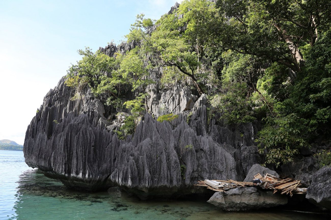
Towers and islets of old reef rock, with forest clinging to the cliffs.

Eibner Saliba · Unsplash License

Where the mountains meet the sea.

Sabang, Puerto Princesa

Where the mountains meet the sea.

Forest runs from the ridges to the beach without a break.

Jules Bassoleil · Unsplash License

Beaches between the cliffs.

El Nido

Beaches between the cliffs.

White sand fills the gaps the limestone leaves.

Cris Tagupa · Unsplash License

Hidden inside the rock.

Secret Beach, El Nido

Hidden inside the rock.

A beach walled in on every side, open to the sea through one gap.

Geio Tischler · Unsplash License

Act I · The land 0m

The mountain spine of Palawan

  1. Thumb Peak1,296 mPuerto Princesa. A pitcher plant, Nepenthes deaniana, grows only near its summit.
  2. Cleopatra’s Needle1,593 mHomeland of the Batak, and the watershed for about 30% of Puerto Princesa’s water.
  3. Victoria Peaks1,726 mNarra. Home of Nepenthes attenboroughii, named after David Attenborough.
  4. Mantalingahan2,085 mThe roof of Palawan, inside a 120,457-hectare protected landscape, Pala’wan country.
The mouth of the Underground River, where it leaves the mountain for the sea

Mike Gonzalez · CC BY-SA 3.0

Puerto Princesa

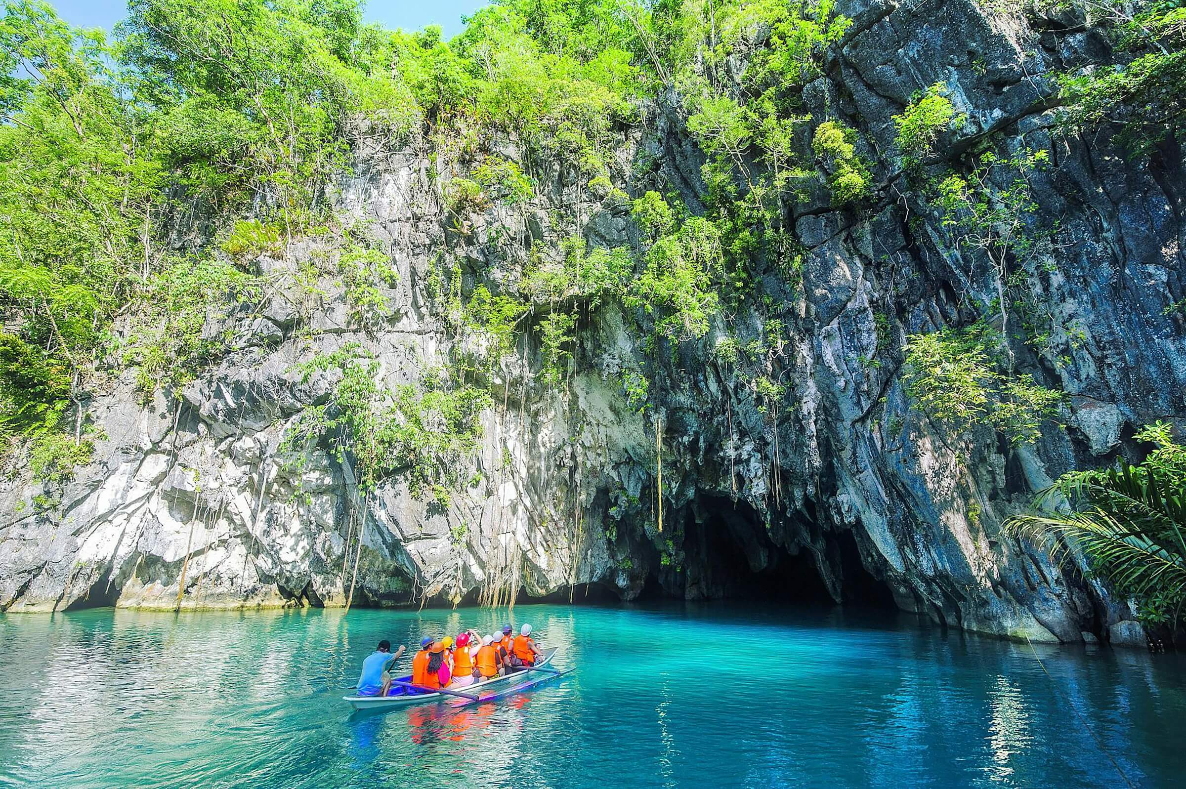
A river that runs under a mountain.

The Cabayugan River goes underground for 8.2 km and comes out into the sea, through a cave system at least 32 km long.

The park around it covers 22,202 hectares. It has been a UNESCO World Heritage Site since 1999, and one of the New7Wonders of Nature since 2012.

The cliffs of Coron Island seen from the sea

Sailko · CC BY 3.0

Coron Island

Lakes inside the limestone.

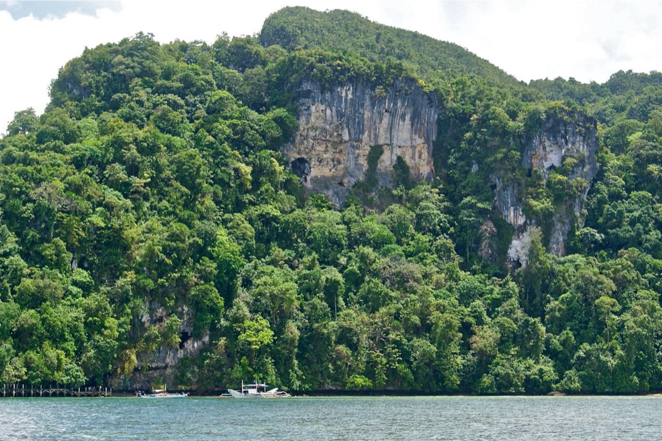
Coron Island hides about a dozen lakes in its cliffs. The Calamian Tagbanwa hold it as ancestral domain, recognised in 1998, and consider the lakes sacred.

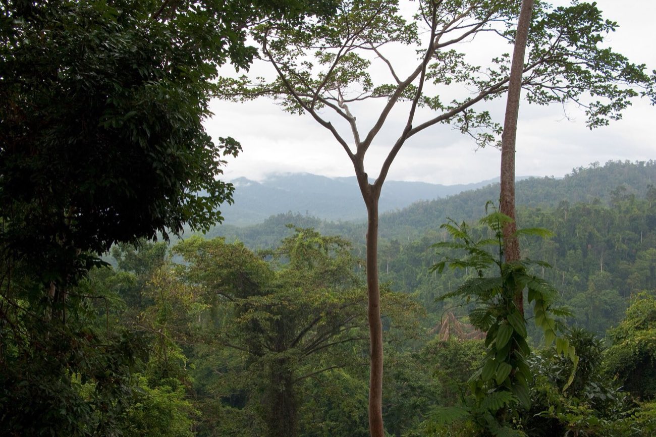
Primary lowland rainforest in Palawan
The whole province is a UNESCO Biosphere Reserve, designated in 1990: about 1,150,800 hectares of land and sea. Vyacheslav Argenberg · CC BY 4.0

Act IIThe Sea.

Clear water over coral.

Bacuit Bay

Clear water over coral.

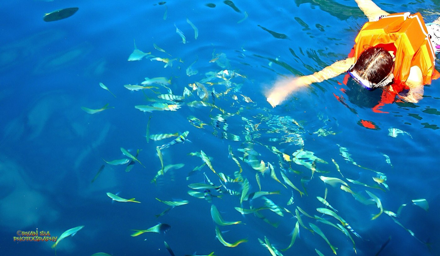
The shallows are where the dive begins.

John Hernandez · Unsplash License

A station in the open sea.

Tubbataha, Sulu Sea

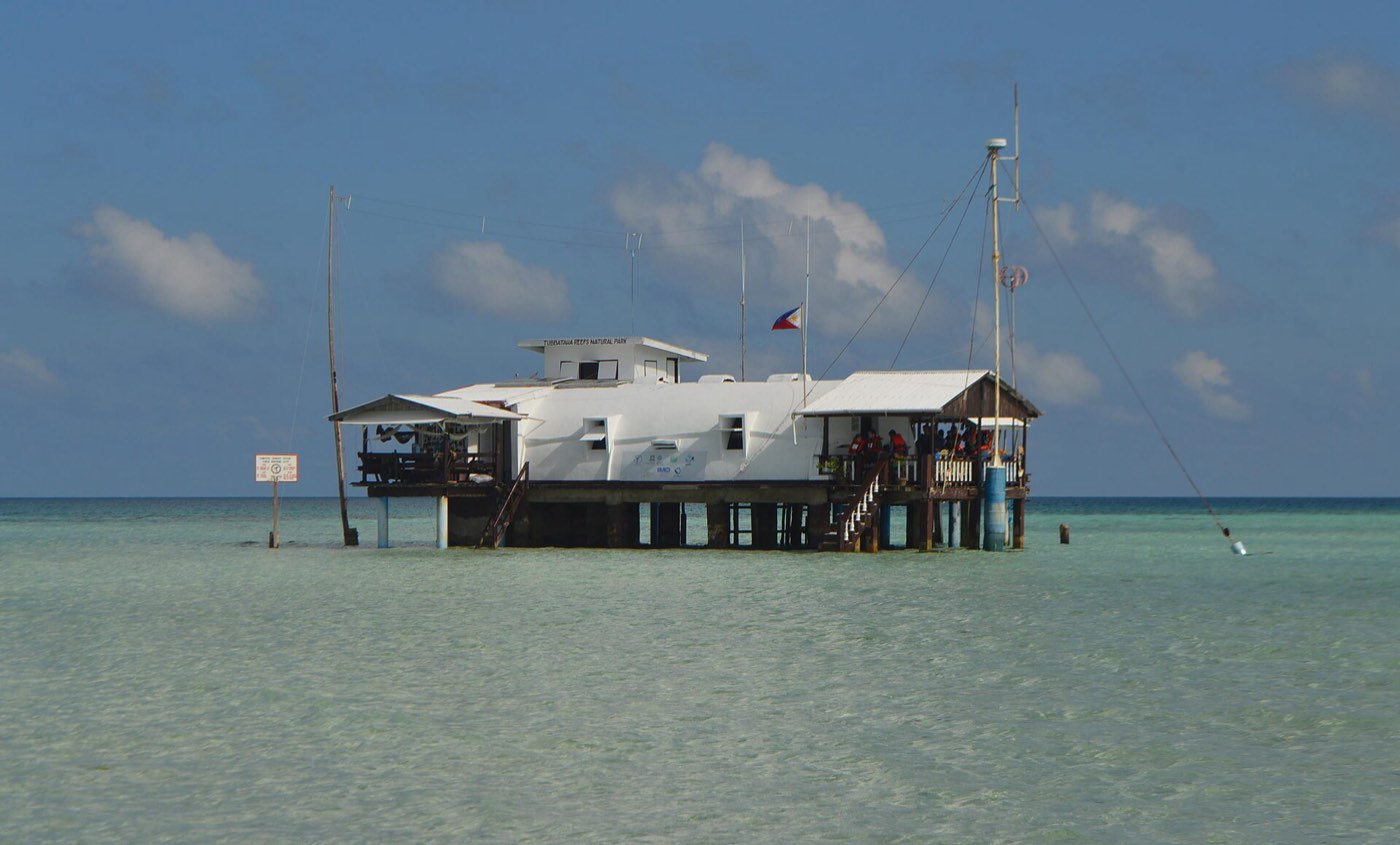
A station in the open sea.

Rangers keep watch over reefs 150 km from the nearest city.

Geio Tischler · Unsplash License

Kayaks over the reef.

Palawan

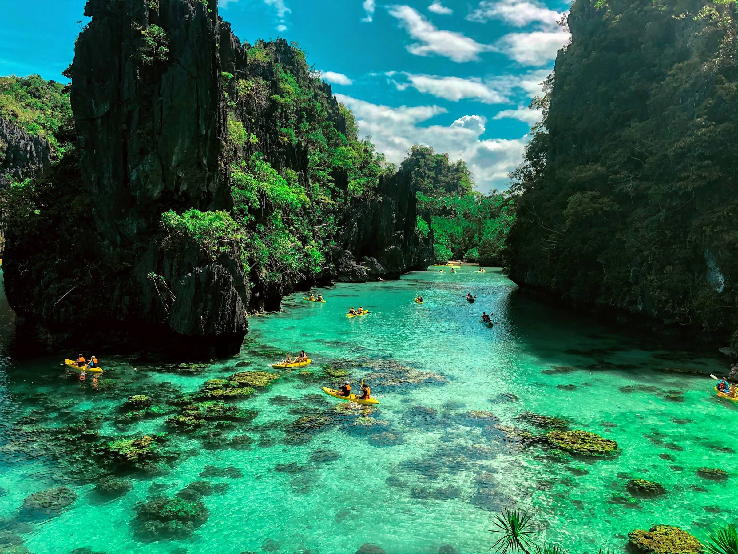
Kayaks over the reef.

In the lagoons the water is shallow and clear enough to read the bottom.

Bernd Dittrich · Unsplash License

Sand under the tide.

Palawan

Sand under the tide.

Sandbars rise and vanish with the tide.

Cris Tagupa · Unsplash License

Act II · Depth0m

The sea around Palawan

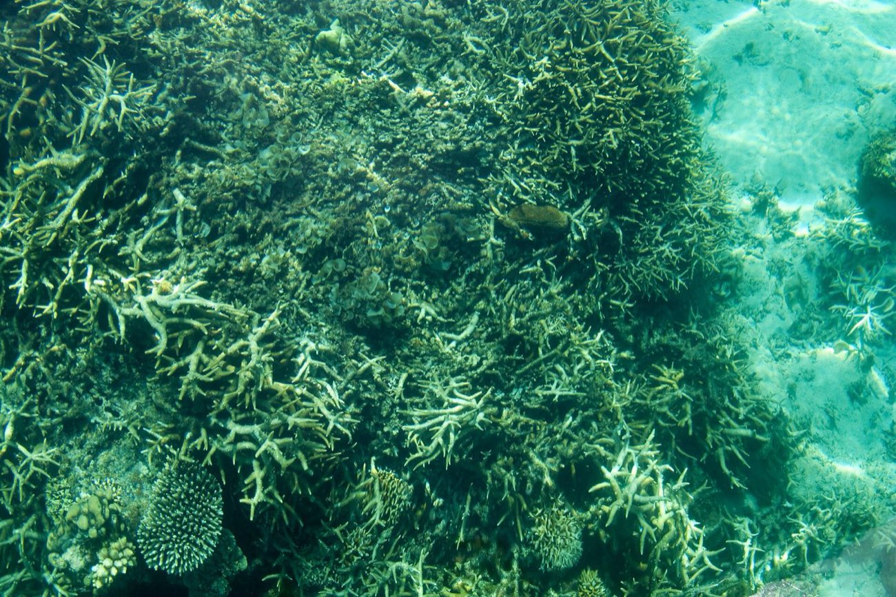
Shallow coral in clear water, Bacuit Bay

Vyacheslav Argenberg · CC BY 4.0

The shallows

Giant clams, coming back.

The giant clam was thought gone from Philippine waters by the 1980s. It survived in Palawan: at Dos Palmas in Honda Bay, a spawning in 2019 gave about 9.5 million eggs to a university hatchery.
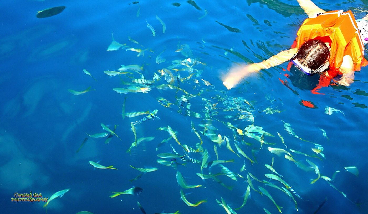
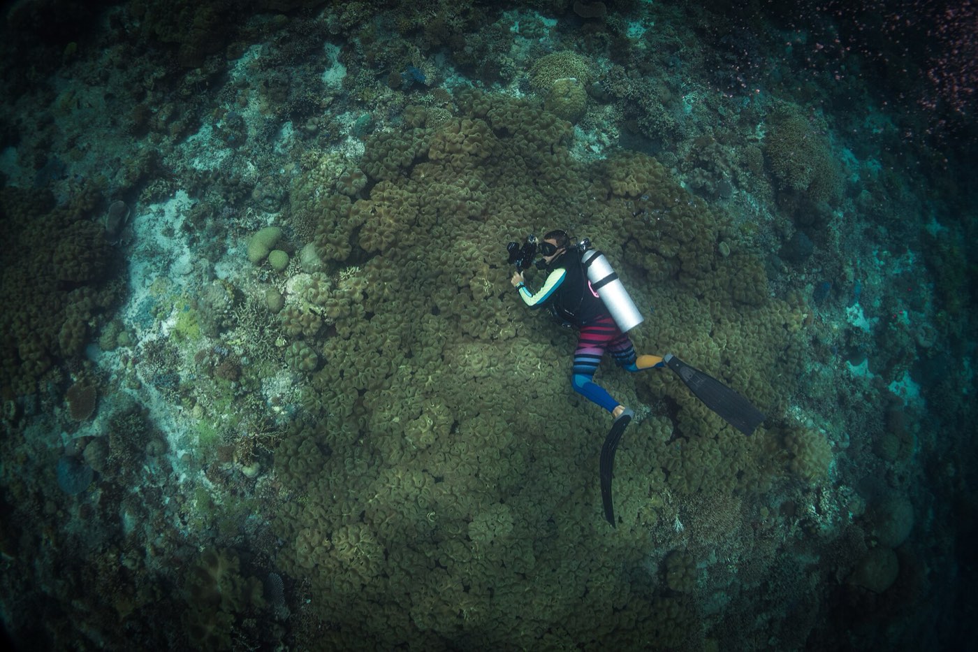
A dugong grazing a seagrass meadow

The meadows

Where the dugong grazes.

Around Calauit Island in the Calamianes, surveys have followed dugongs for decades; sightings rise and fall with the seagrass. Tagbanwa guardians, the Bantay Dugong, help watch over them.

The wreck of the Akitsushima in Coron Bay

Ryan Sia · CC BY-SA 4.0

14 to 46 metres

The wrecks of 1944.

On 24 September 1944, aircraft of US Task Force 38 attacked a Japanese supply fleet at anchor in Coron Bay. The Akitsushima, the Irako, the Olympia Maru and others still lie there, now reefs themselves.

A scientist documenting reef life at Tubbataha

Anna Varona · CC BY 4.0

Tubbataha · “long reef exposed at low tide”

The heart of the Coral Triangle.

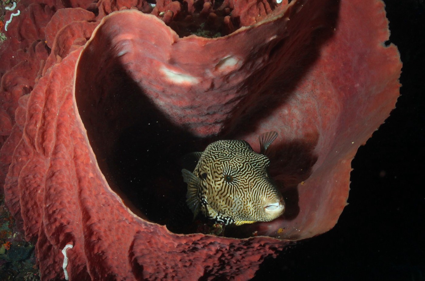
97,030 hectares, the country’s first national marine park (1988) and a World Heritage Site since 1993. No fewer than 600 fish species, 360 corals, 11 sharks and 13 kinds of dolphin and whale.

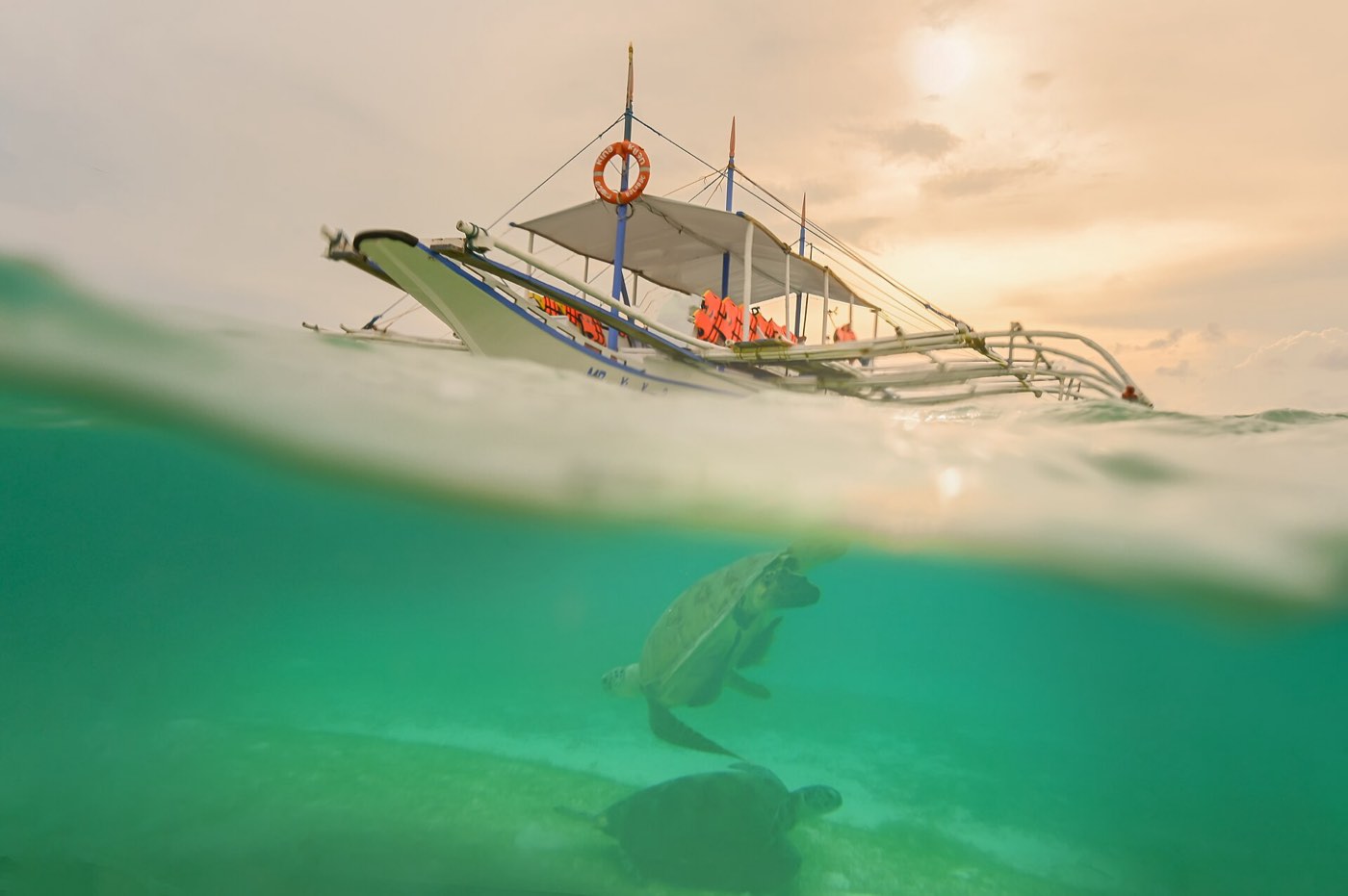
A sea turtle swimming at Onok Island, Balabac

Eye1979 · CC BY 4.0

Onok Island, Balabac

And the turtles return.

Hawksbill and green turtles nest on Tubbataha’s islets and swim the reefs of the far south.

Act III · The creatures

Found nowhere else.

Palawan’s animals came from Borneo across land bridges, then stayed and changed. A field journal of five, with their Red List status.

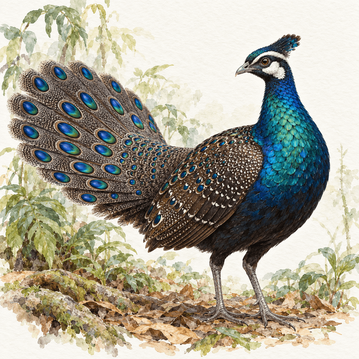
Palawan peacock-pheasant

Vivito Tech · Watercolour

Palawan peacock-pheasant

TandikanPolyplectron napoleonis

Vulnerable

Its iridescent male fans a tail of eyespots. The bird is on the seal of Puerto Princesa and the ₱100 note.

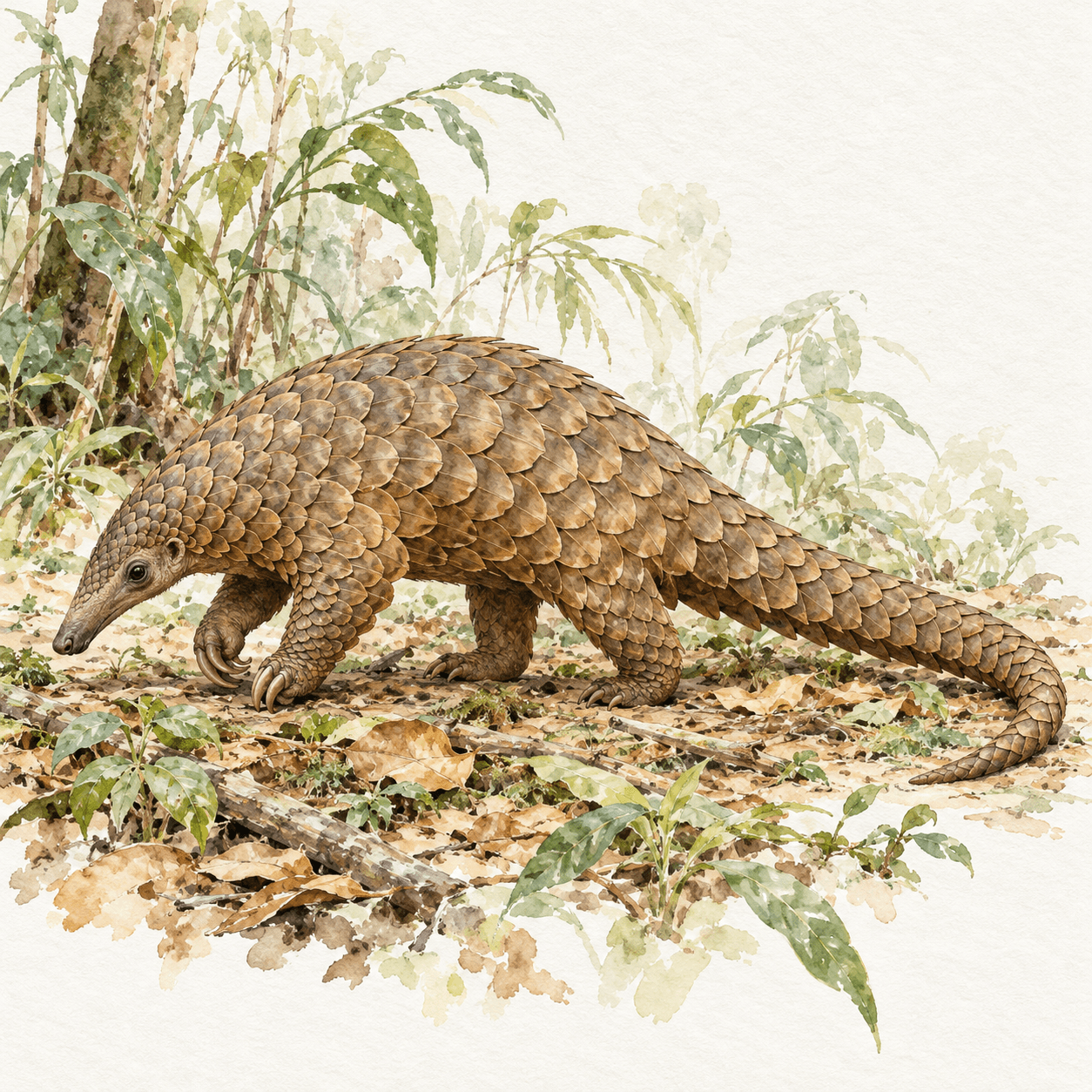
Philippine pangolin

Vivito Tech · Watercolour

Philippine pangolin

BalintongManis culionensis

Critically endangered

A scaled anteater found only in the Palawan group, hunted for its scales and meat. Smaller-scaled and shorter-headed than its Sunda cousin.

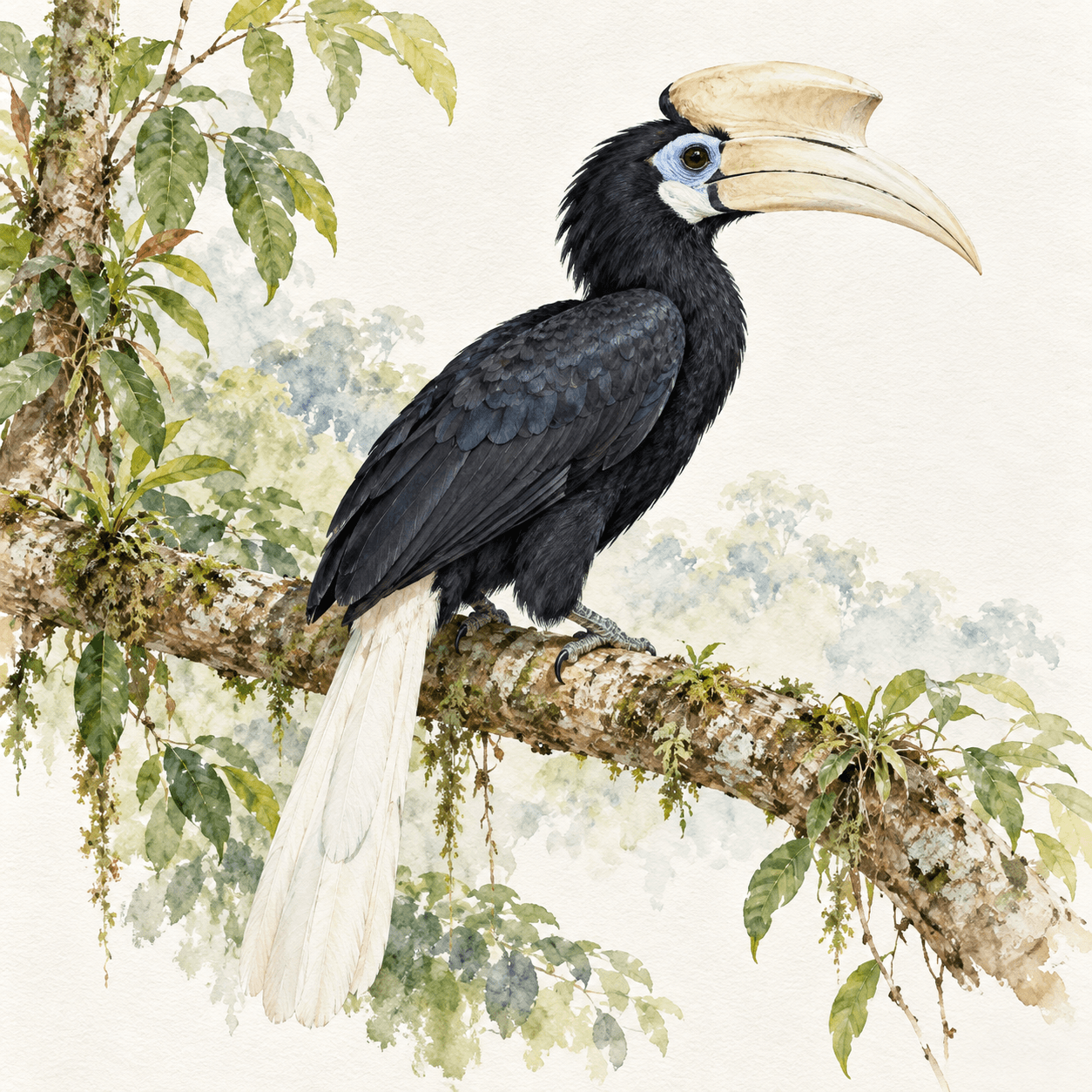
Palawan hornbill

Vivito Tech · Watercolour

Palawan hornbill

TalusiAnthracoceros marchei

Vulnerable

Found only on Palawan, Balabac, Busuanga, Calauit, Culion and Coron. One of eleven hornbills that live only in the Philippines.

Palawan bearcat

Vivito Tech · Watercolour

Palawan bearcat

BinturongArctictis binturong whitei

Vulnerable (species)

A Palawan subspecies of the binturong, with a tail that grips like a hand and a musk that smells of popcorn.

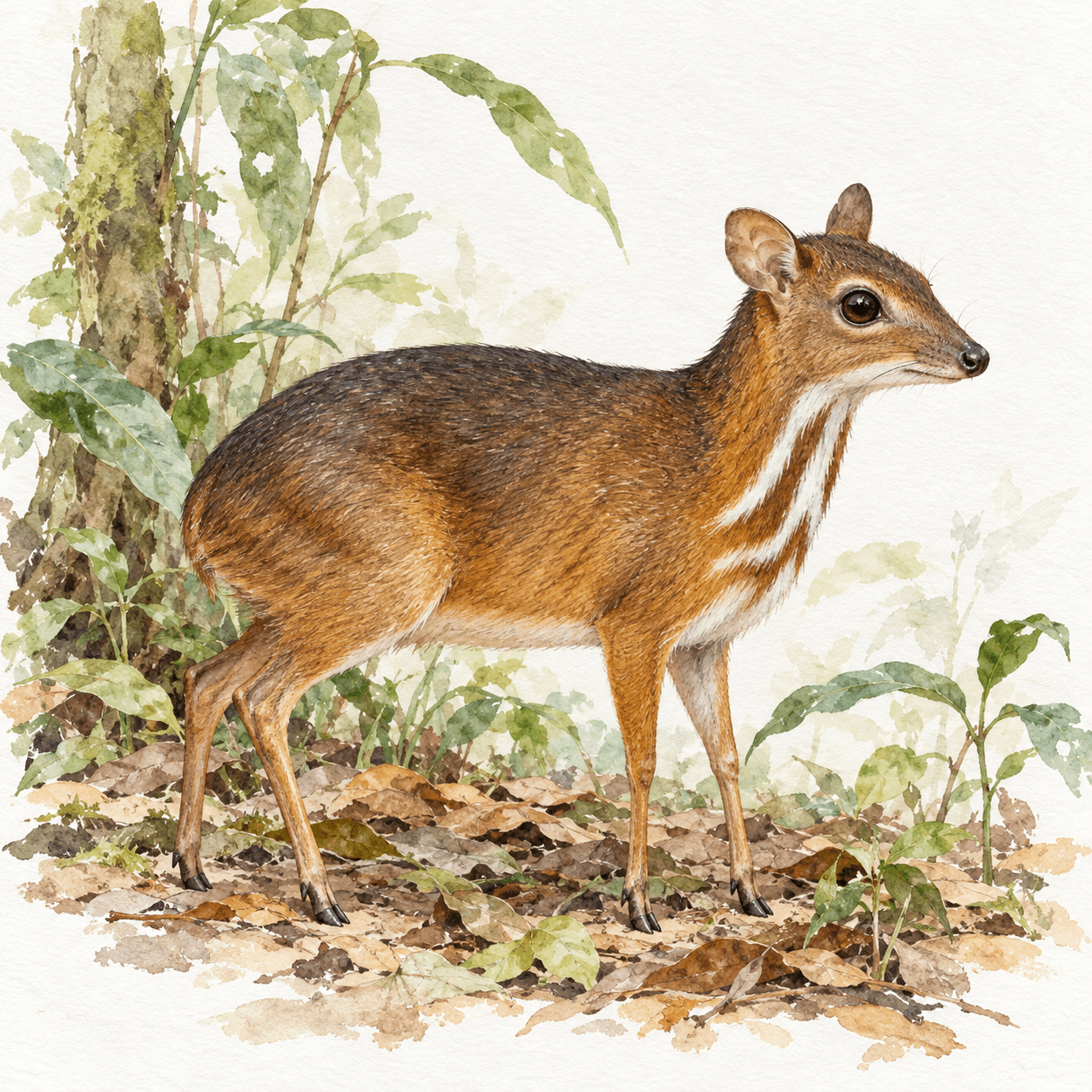
Philippine mouse-deer

Vivito Tech · Watercolour

Philippine mouse-deer

PilandokTragulus nigricans

Endangered

Not a true deer but a chevrotain, the size of a cat. It lives only on Balabac and nearby Bugsuk and Ramos.

Act IV · The people

The island is named for them.

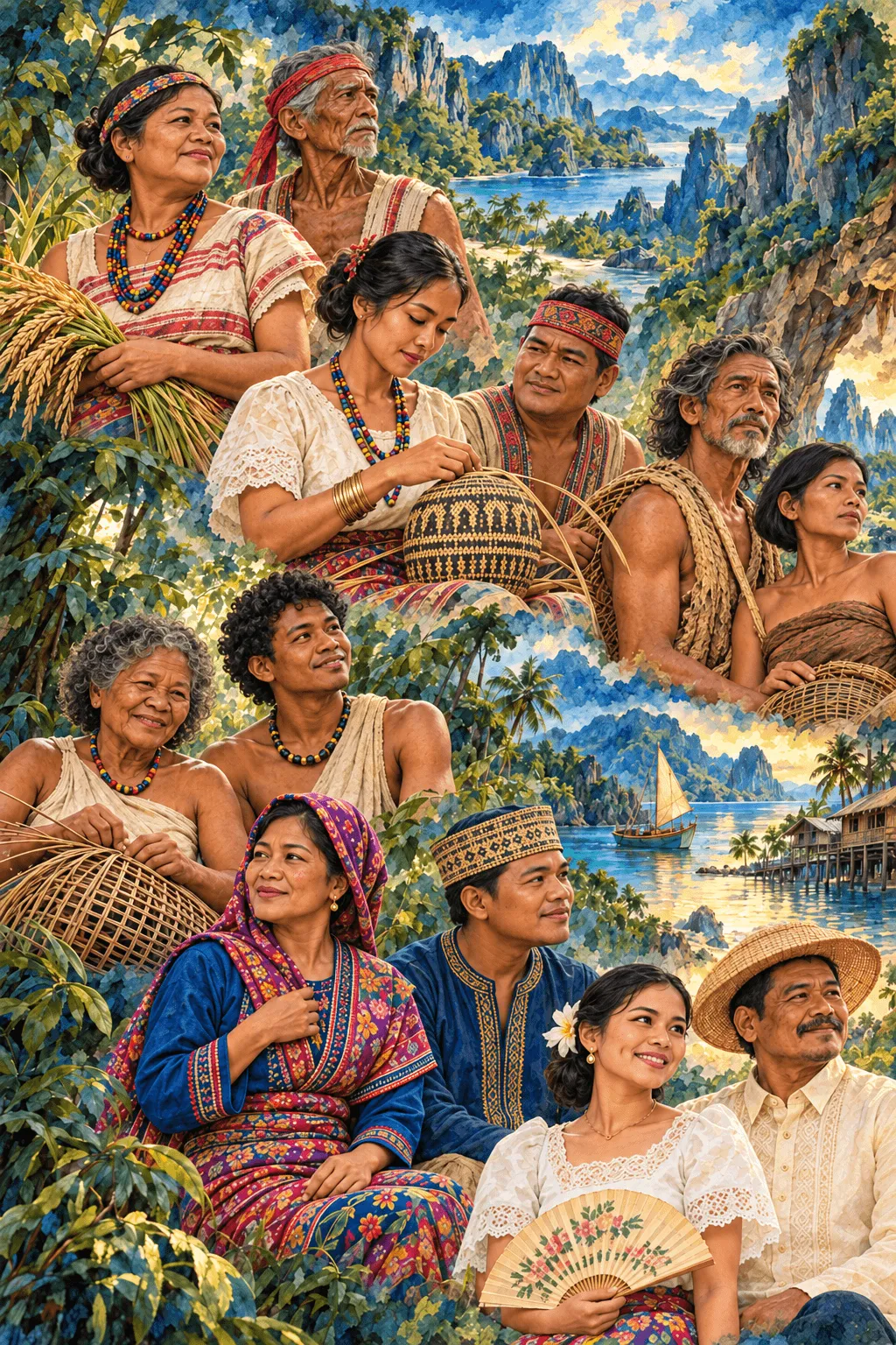
The Pala’wan of the southern uplands, the Tagbanwa of the centre and the north, the Batak of the north-east, the Molbog of the far south, and the Cuyonon who sailed in from their islands. Here in their own names.

A painting of the peoples of Palawan, weaving and harvesting, with the islands behind them

Vivito Tech · Painting

Coron Island

An ancestral domain of lakes.

In 1998 Coron Island was recognised as the ancestral domain of the Calamian Tagbanwa. They keep its lakes sacred, and manage Kayangan under a plan of their own.

Calamian Tagbanwa is its own language, distinct from the Tagbanwa spoken around Aborlan and Quezon.

  • Pala’wanSouthern uplands

    The main indigenous people of the island group, around Mantalingahan. The island’s name is linked to them.

  • TagbanwaCentre and north

    Central Tagbanwa around Aborlan, Quezon and Puerto Princesa; Calamian Tagbanwa on Coron, Busuanga and in El Nido.

  • BatakNorth-east river valleys

    About 1,500 people. They helped lead the protection of Cleopatra’s Needle, their homeland.

  • MolbogBataraza and Balabac

    The people of the southern tip and its islands, with kin in Mapun.

  • CuyononFrom the Cuyo Islands

    A Visayan people now across the province. Their word bagat, to meet, named the provincial festival.

  • AgutaynenAgutaya Island

    Their language is Agutaynen; settlers also founded New Agutaya in San Vicente.

  • Jama MapunBugsuk, Balak, Brooke’s Point

    A Sama-speaking people centred on Mapun, with communities in southern Palawan.

  • Tau’t BatoSingnapan Valley, Rizal

    “People of the rock”, of the valley below Mantalingahan. Visit only with their permission.

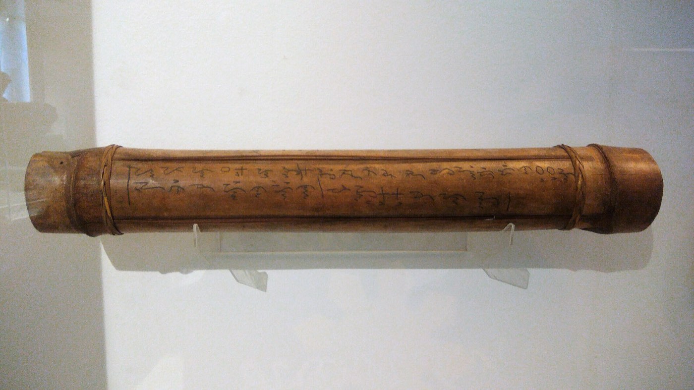
The Tagbanwa script

Written on bamboo.

An indigenous syllabary of the Tagbanwa and Pala’wan. With the Hanunoo and Buid scripts it was inscribed on UNESCO’s Memory of the World Register in 1999. Each sign is a syllable; marks above or below change its vowel.

  1. ᝠa
  2. ᝡi
  3. ᝢu
  4. ᝣka
  5. ᝤga
  6. ᝥnga
  7. ᝦta
  8. ᝧda
  9. ᝨna
  10. ᝩpa
  11. ᝪba
  12. ᝫma
  13. ᝬya
  14. ᝮla
  15. ᝯwa
  16. ᝰsa
A Tagbanwa bamboo tube zither inscribed with the Tagbanwa script
A Tagbanwa tube zither, inscribed with the script. Darwgon0801 · CC BY-SA 4.0
Act V · The voyage

Twenty-four landfalls.

From Busuanga in the north to Balabac in the south, then five hundred kilometres west to Pag-asa. Every town, and the city, and the best of what each one keeps.

23
municipalities and one city
1,700–1,780
islands; no one agrees on the count
3
UNESCO listings: Tubbataha, the Underground River, the Biosphere Reserve
2,085 m
at Mantalingahan, down to reefs in the Sulu Sea
  1. The CalamianesBusuanga, Coron, Culion, Linapacan
  2. The northEl Nido, Taytay, San Vicente
  3. The east coastRoxas, Dumaran, Araceli
  4. The Sulu Sea islandsCuyo, Magsaysay, Agutaya, Cagayancillo
  5. The capitalPuerto Princesa
  6. The southAborlan, Narra, Quezon, Rizal
  7. The far southSofronio Española, Brooke’s Point, Bataraza, Balabac
  8. KalayaanKalayaan
Busuanga Coron Culion Linapacan El Nido Taytay San Vicente Roxas Dumaran Araceli Cuyo Magsaysay Agutaya Cagayancillo Puerto Princesa Aborlan Narra Quezon Rizal Sofronio Española Brooke’s Point Bataraza Balabac
The <em>Calamianes.</em>
Leg one

The Calamianes.

Leg one

The Calamianes.

Four towns at the top of the province, where the limestone begins.

Florian Delée · Unsplash License

Limestone pinnacles of Elet Island rising from the sea, Busuanga

Florian Delée · Unsplash License

Landfall 01 / 24Bayan ng Busuanga12.13° N, 119.94° E

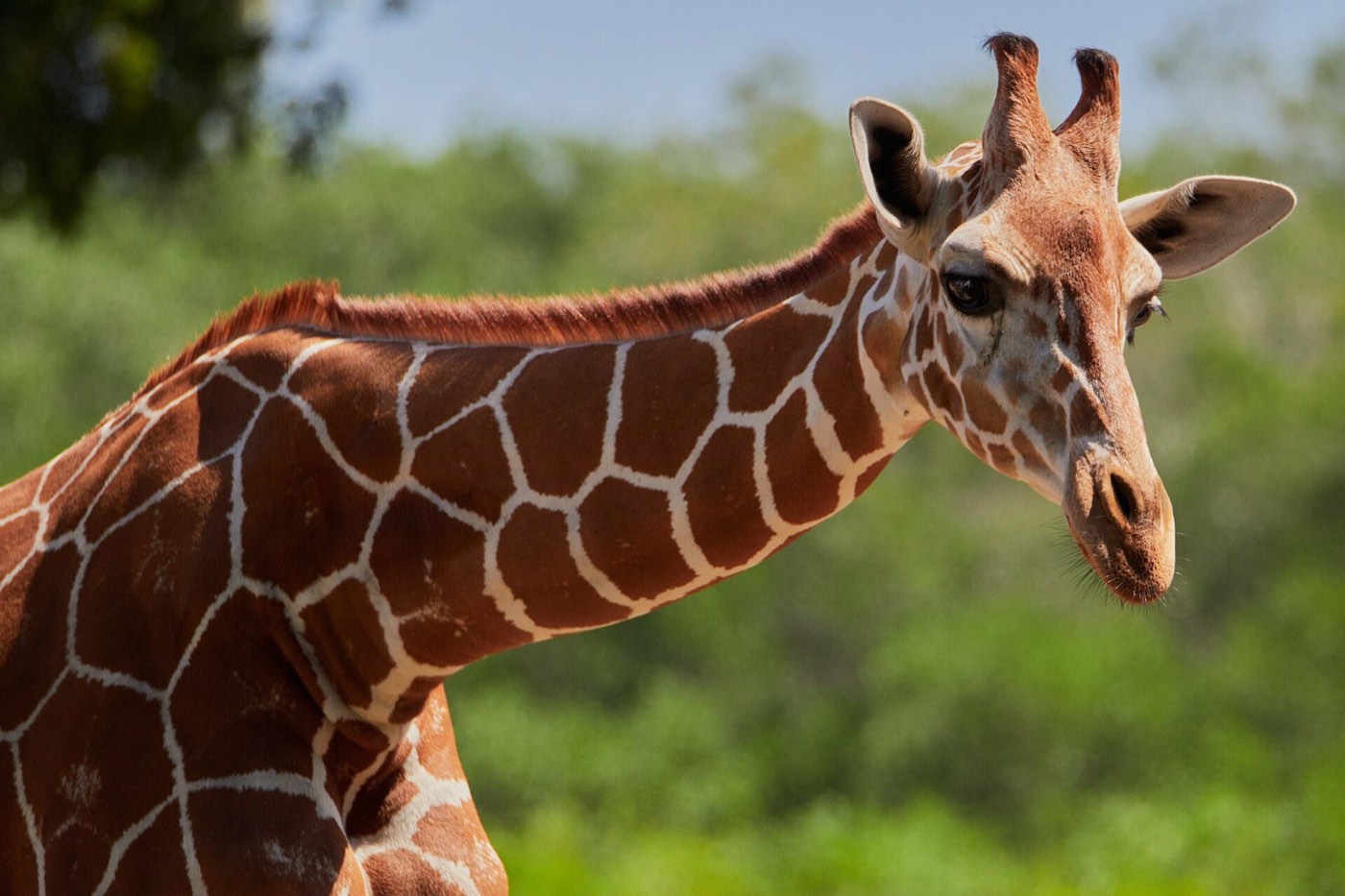
Quieter and greener than its neighbour: cattle land, limestone islets, and giraffes on an island.

Created
1951, RA 560
Land area
392.90 km²
Barangays
14
People, 2024
26,974
Class
1st class

The story

Busuanga covers the western third of Busuanga Island and all of Calauit Island, at the top of the Calamian group. It was carved out of Coron’s barrios in 1951.

On Calauit, a sanctuary set up in 1976 still keeps the giraffes and zebras brought from Kenya, alongside native animals it protects: the Calamian deer, the Palawan bearded pig and the Philippine mouse-deer.

Best of Busuanga

5 places to stop.

Calauit Safari Park

lumoplank · CC0

Calauit Safari Park

A wildlife sanctuary since 1976, where reticulated giraffes and Grévy’s zebras roam beside the Calamian deer.

North side of Busuanga; about 4 hours by boat from Coron town
Black Island

ProjectLumiere · CC BY-SA 4.0

Black Island

A dark limestone island with three small caves holding pools, and a white beach.

From Ocam-Ocam on the west coast
North Cay

pablosievert · CC BY-SA 4.0

North Cay

A sandbar islet near Black Island, usually visited on the same trip.

From Ocam-Ocam
Wrecks off Concepcion

Johann Ocampo · Unsplash License

Wrecks off Concepcion

Japanese ships, tankers among them, sunk by US aircraft on 24 September 1944. The Skeleton Wreck is shallow enough to snorkel.

Concepcion Falls

Bernd Dittrich · Unsplash License

Concepcion Falls

A freshwater fall 17 km from the poblacion, reached by road or by water.

Busuanga5 stops
Known for
Rice and tree plantations; edible birds’ nests gathered on Black Island.
Next landfallCoronAhead: Kayangan Lake · Twin Lagoon33 km from Busuanga, as the crow flies
The limestone cliffs of Coron Island seen from the sea

Florian Delée · Unsplash License

Landfall 02 / 24Bayan ng Coron12.00° N, 120.21° E

Fifteen lakes inside a limestone island, a fleet of warships under the bay, and a town that keeps both.

Created
1902 civil government
Land area
689.10 km²
Barangays
23
People, 2024
69,439
Class
1st class

The story

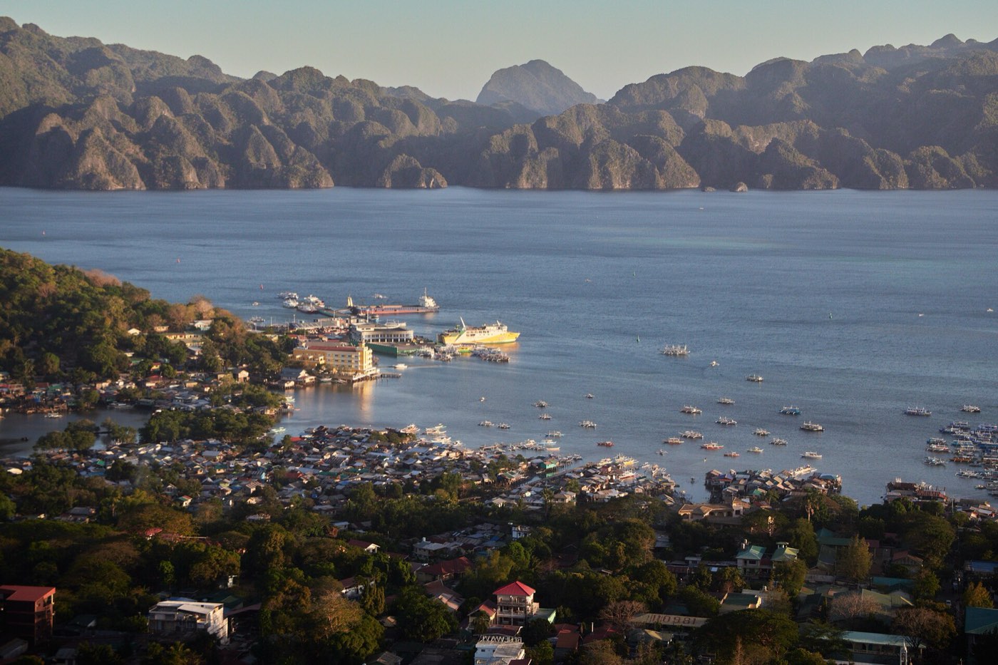
Coron town sits on eastern Busuanga Island and is the commercial capital of the Calamian Islands. Across the bay rises Coron Island: jagged limestone holding about fifteen lakes.

The island is the ancestral domain of the Calamian Tagbanwa, recognised in 1998. They opened Kayangan Lake to visitors in 2001, after a ritual, and manage it under their own plan. Under the bay lie the Japanese supply ships sunk on 24 September 1944.

Best of Coron

Lakes, lagoons and wrecks.

Kayangan Lake

H.abanil · CC BY-SA 3.0

Kayangan Lake

A brackish lake sacred to the Tagbanwa, often called one of the cleanest in the country. The viewpoint above it is one of the most photographed places in Palawan.
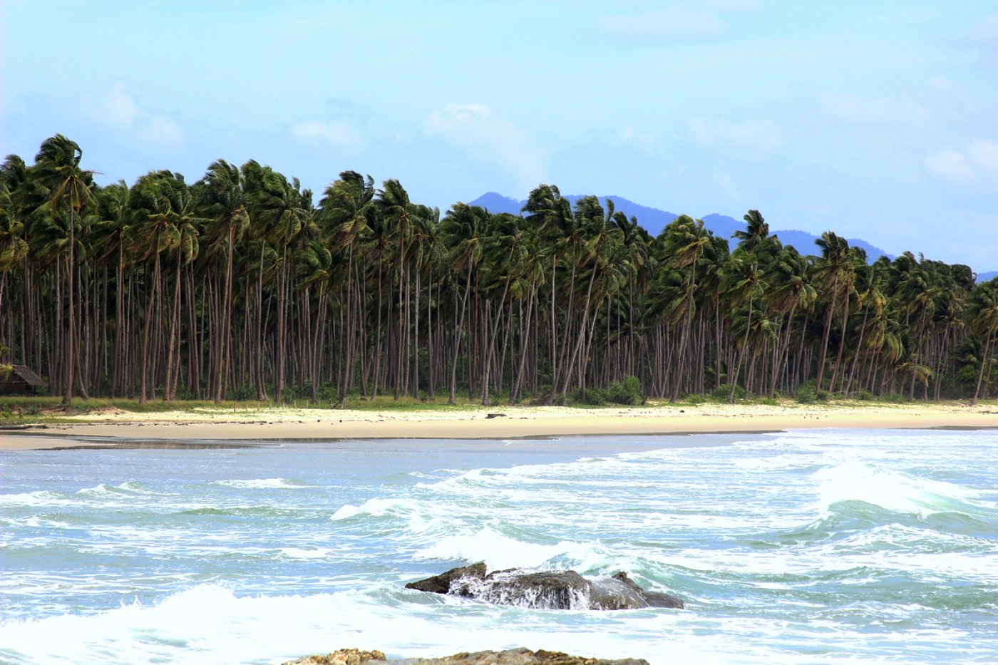
Island-hopping boat from Coron town; tickets in town
Twin Lagoon

Sailko · CC BY 3.0

Twin Lagoon

Two lagoons joined through a gap in the rock: kayak under it at low tide, swim through or take the walkway at high tide.

Barracuda Lake

Sailko · CC BY 3.0

Barracuda Lake

The second lake the Tagbanwa opened. Divers pass through warm thermoclines and a halocline where fresh water meets salt.

The wrecks of 1944

Ryan Sia · CC BY-SA 4.0

The wrecks of 1944

About ten Japanese wrecks lie at 6 to 46 metres, among them the seaplane tender Akitsushima, the Irako and the Olympia Maru.

Siete Pecados

Firth m · CC BY-SA 4.0

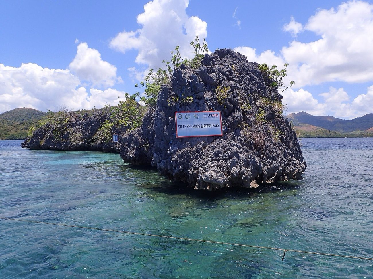
Siete Pecados

Seven islets 3.5 km east of town where the reef starts right off the beach. A Blue Park Award winner in 2024.

Mount Tapyas

lumoplank · CC0

Mount Tapyas

The hill above town with a cross and a viewpoint, a short climb and the classic place to watch the sun go down.

10 to 15 minutes up from town
Coron6 stops
The fiesta
Feast of Saint Augustine, 28 August.
Known for
Tourism, its official town product, and fishing.
Lakes held in the rock.

Coron

Lakes held in the rock.

Coron Island keeps about fifteen lakes inside its limestone; the Tagbanwa have opened only a few to visitors.

Florian Delée · Unsplash License

Bancas at the jetty.
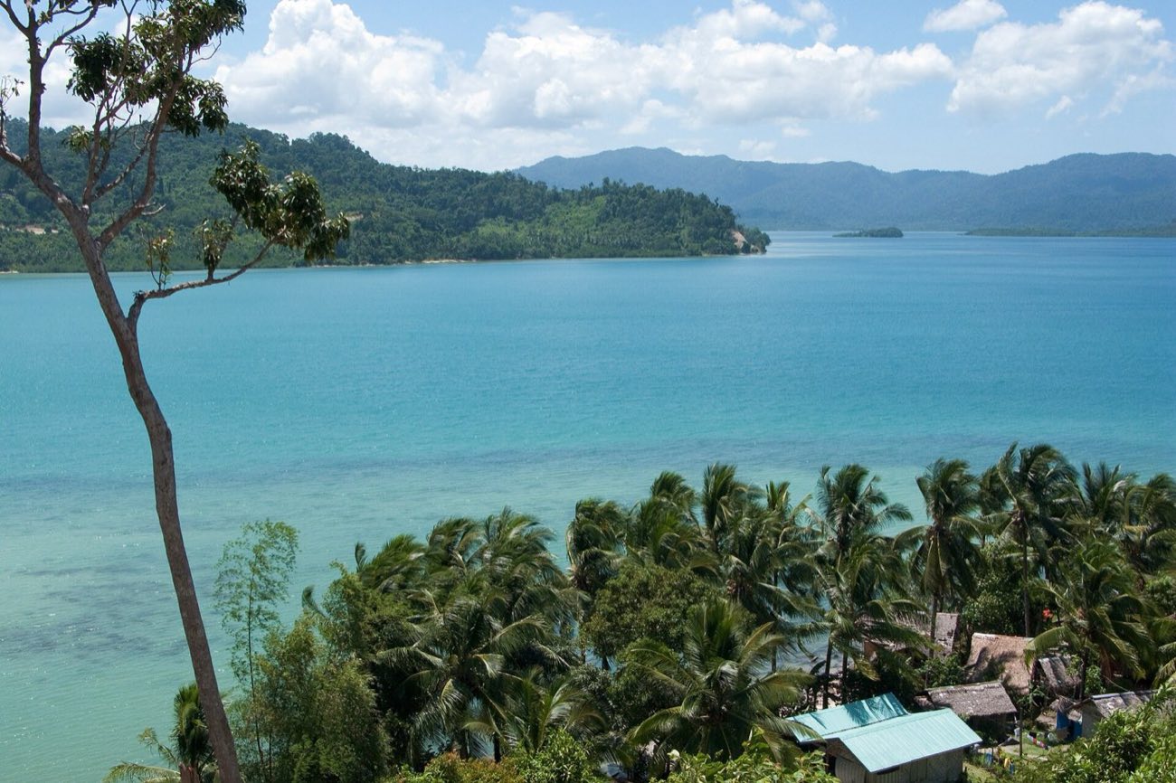
Coron

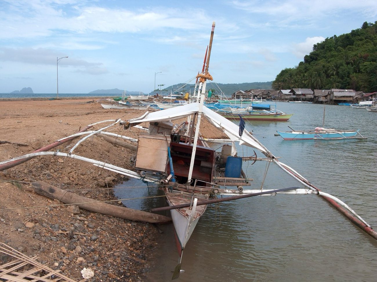
Bancas at the jetty.
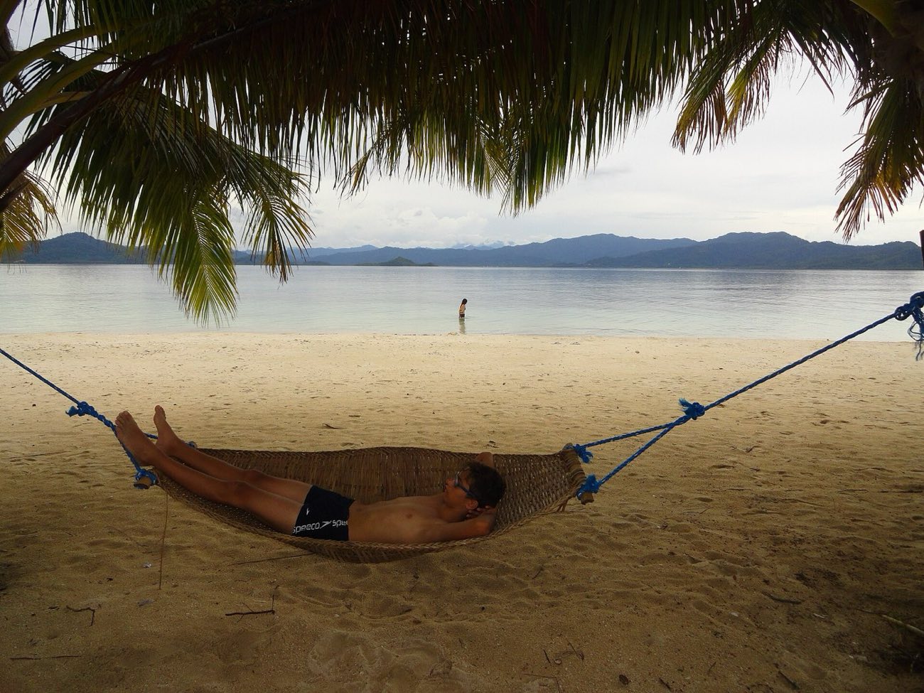
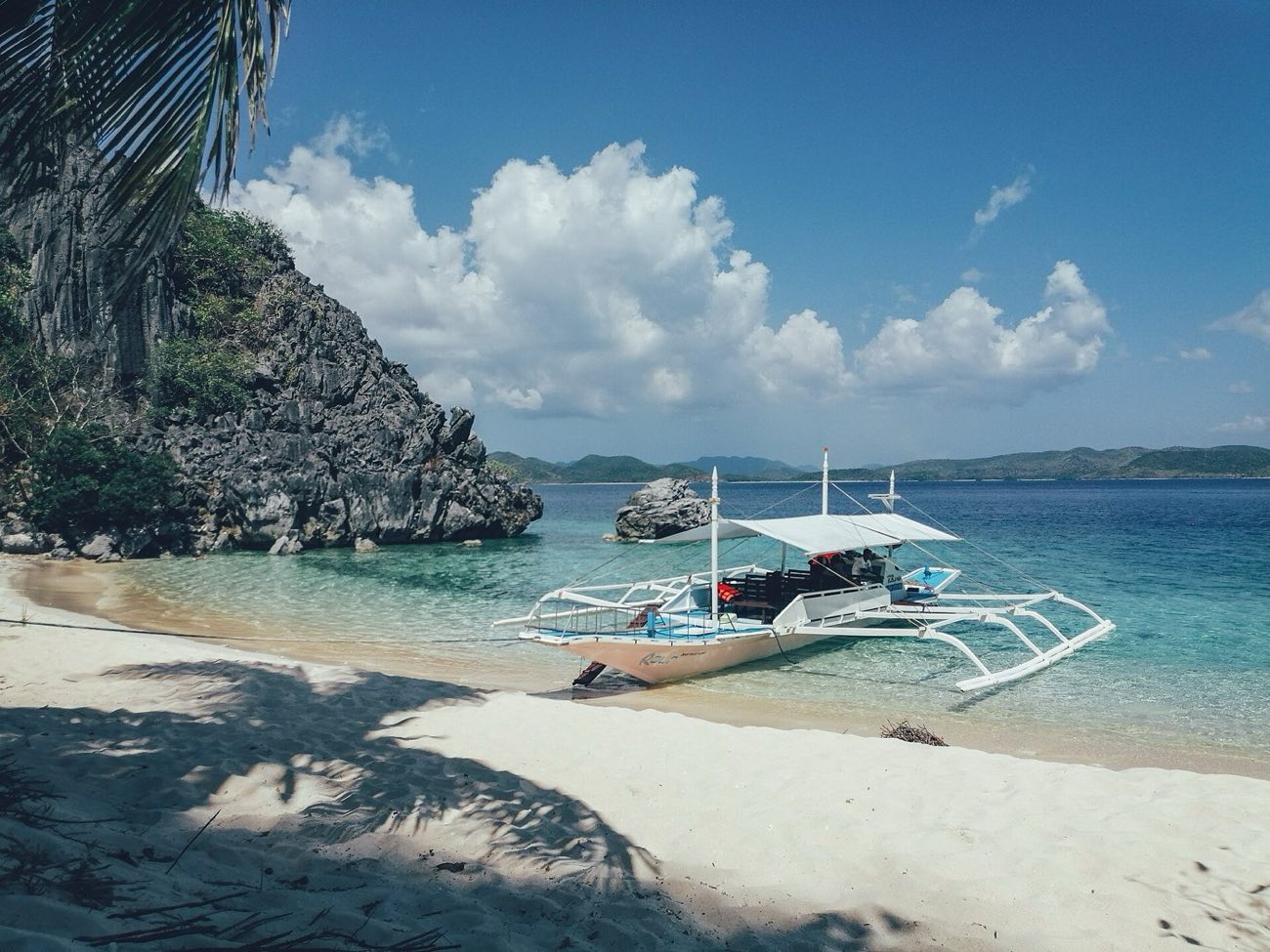
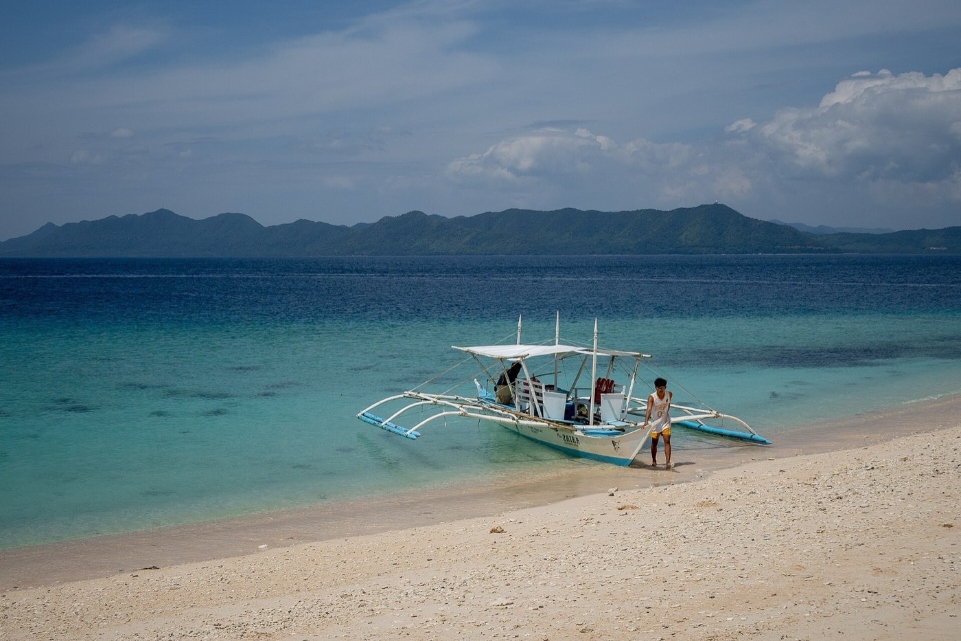
Outrigger boats wait under the cliffs while their passengers go on foot.

Florian Delée · Unsplash License

Island after island.

Coron

Island after island.

Day boats thread between the limestone islets of the Calamianes.

Florian Delée · Unsplash License

Forest down to the water.

Coron

Forest down to the water.

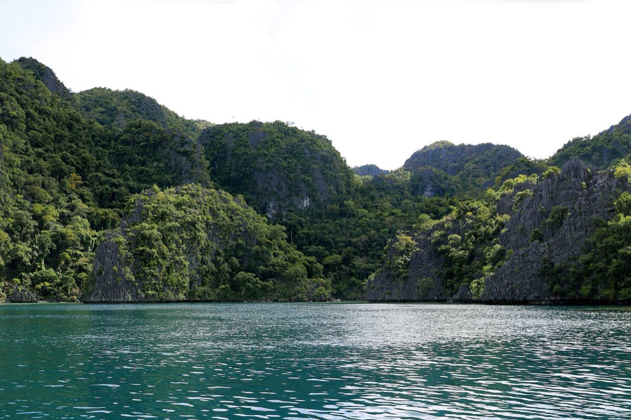
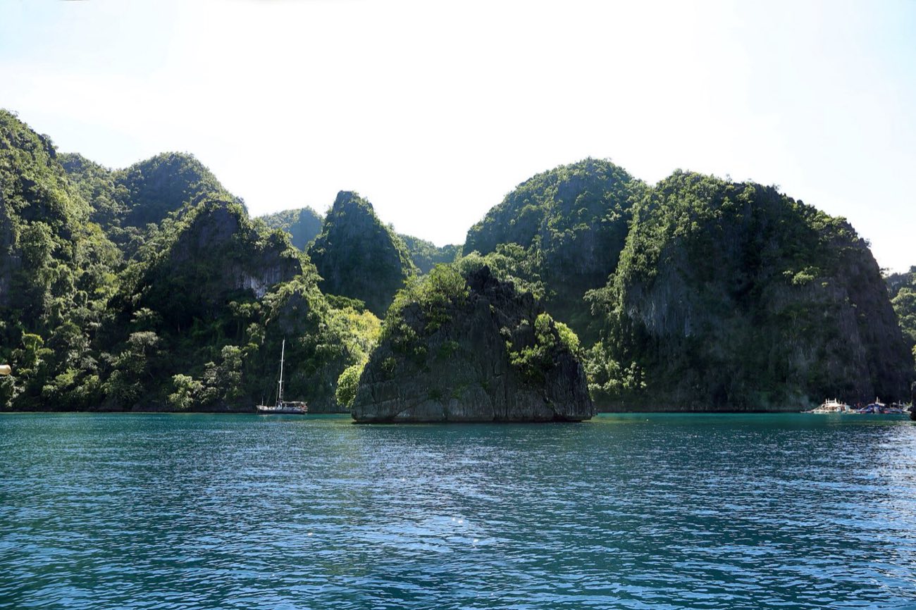
Still green water under cliffs thick with trees.

Johann Ocampo · Unsplash License

Clear to the bottom.

Coron

Clear to the bottom.

From above, reef and sand show through the shallows between the islands.

John Hernandez · Unsplash License

Next landfallCulionAhead: Culion Museum and Archives · Fort Culion and the church23 km from Coron, as the crow flies
Culion town from a hillside, looking out towards Coron Island

John Hernandez · Unsplash License

Landfall 03 / 24Bayan ng Culion11.89° N, 120.02° E

Once the country’s leprosy colony; now a harbour town that calls itself the Paradise Regained.

Created
1992, RA 7193
Land area
499.59 km²
Barangays
14
People, 2024
23,985
Class
1st class

The story

From 1906, Culion Island and its 41 islets were the Philippines’ leprosy colony. The WHO declared the town leprosy-free in 2006, and its leprosy archives joined UNESCO’s Memory of the World Register for Asia and the Pacific in 2018.

Its waters hold 201 fish species, 17 kinds of mangrove, 9 of seagrass and 47 coral genera.

Best of Culion

3 places to stop.

Culion Museum and Archives

Florian Delée · Unsplash License

Culion Museum and Archives

The record of the colony years and the cure of leprosy, on UNESCO’s regional Memory of the World Register since 2018.

Ferry from Coron port, about 1½ hours
Fort Culion and the church

Florian Delée · Unsplash License

Fort Culion and the church

A stone fort of 1740 whose coral stones the Jesuits reused for the Immaculate Conception Church in 1930. A national historical landmark since 1939.

Reefs and mangroves

Tuderna · CC BY 3.0

Reefs and mangroves

Beaches, snorkelling and dive sites, wrecks among them, in some of the richest water of the Calamianes.

Culion3 stops
Known for
Fishing, in waters with 201 recorded fish species.
Next landfallLinapacanAhead: The clear water · Maosonon Island47 km from Culion, as the crow flies
Nangalao Island seen from the sea, Linapacan

Johann Ocampo · Unsplash License

Landfall 04 / 24Bayan ng Linapacan11.49° N, 119.87° E

No mainland at all: ten island barangays and some of the clearest water anywhere.

Created
1954, RA 1020
Land area
195.44 km²
Barangays
10
People, 2024
16,782
Class
3rd class

The story

Linapacan is a scatter of small islands between Culion and El Nido. Its water is so clear that a 2013 list put it first among places to swim before you die.

It lies roughly halfway between El Nido and Coron, a stop on the multi-day boat expeditions between them.

Best of Linapacan

3 places to stop.

The clear water

Tuderna · CC BY 3.0

The clear water

Snorkelling is the reason to come: reef and sand under water described as exceptionally clear.

On El Nido to Coron boat expeditions
Maosonon Island

Kaspars Upmanis · Unsplash License

Maosonon Island

Powdery white sand and turquoise water.

Magransing Island

Florian Delée · Unsplash License

Magransing Island

An uninhabited island, one of the most visited in the area. Boats can also be hired from San Fernando, El Nido.

Linapacan3 stops
The fiesta
Town fiesta, 29 September.
Known for
Marine products, its official town product.
The Northern <em>Mainland.</em>
Leg two

The Northern Mainland.

Leg two

The Northern Mainland.

Bacuit Bay, an old Spanish capital, and a beach that keeps going.

Jared Rice · Unsplash License

A limestone island rising from Bacuit Bay, El Nido

Jared Rice · Unsplash License

Landfall 05 / 24Bayan ng El Nido11.18° N, 119.39° E

The nest: forty-five limestone islands and islets in one bay, named for the swiftlets on its cliffs.

Created
1916 as Bacuit
Land area
923.26 km²
Barangays
18
People, 2024
51,367
Class
1st class

The story

El Nido sits at the northern tip of mainland Palawan. Founded as Bacuit in 1916 and renamed in 1954, it takes its name from the edible swiftlet nests gathered from its cliffs.

It is the gateway to Bacuit Bay’s 45 islands and islets, a managed resource protected area. Under a limestone tower in the Dewil Valley, Ille Cave has given up cremated human remains 9,000 years old and tiger bones that prove tigers once lived on Palawan.

Best of El Nido

Bacuit Bay, island by island.

El Nido town

Eibner Saliba · Unsplash License

El Nido town

The poblacion on the bay, backed by limestone cliffs. The island-hopping boats leave from its beach.

Big Lagoon, Miniloc

Jules Bassoleil · Unsplash License

Big Lagoon, Miniloc

The largest of the Miniloc lagoons, on the island’s north coast: still green water between walls of limestone.

Island-hopping Tour A
Small Lagoon, Miniloc

Fabio Achilli from Milano, Italy · CC BY 2.0

Small Lagoon, Miniloc

A shallow cove entered by kayak or by swimming through a gap in the rock.

20 to 30 minutes by boat from town
Secret Beach, Matinloc

Mario von Rotz · Unsplash License

Secret Beach, Matinloc

A beach closed in by rock on Matinloc Island, reached by swimming through a gap in the cliff.

Island-hopping Tour C
Seven Commando Beach

Fabio Achilli from Milano, Italy · CC BY 2.0

Seven Commando Beach

A long beach stop on Tour A, palms and soft sand under the cliffs.

Tours leave about 8 to 9 am
Nacpan Beach

Micluna · CC BY-SA 4.0

Nacpan Beach

A long white-sand beach north of town, at the end of an unpaved last stretch.

About 45 minutes by scooter or tricycle
Cadlao Island

Micluna · CC BY-SA 4.0

Cadlao Island

The highest island in Bacuit Bay, 640 m, standing right across from the town.

Las Cabanas

Tuderna · CC BY 3.0

Las Cabanas

A white-sand beach south of town, for the last light of the day.

Tricycle and a short walk
El Nido8 stops
The fiesta
Town fiesta, 15–18 March; Kalugtan Festival in April.
Known for
Cashew, its official town product; also coconut, rice, banana, mango and edible birds’ nests.
Kulambo Festival

Travel Palawan · travel-palawan.com

15–18 March, the town fiesta

Kulambo Festival

A street parade in costumes made of kulambo, mosquito nets, with dancing, singing and local food.

By kayak, into the rock.

El Nido

By kayak, into the rock.

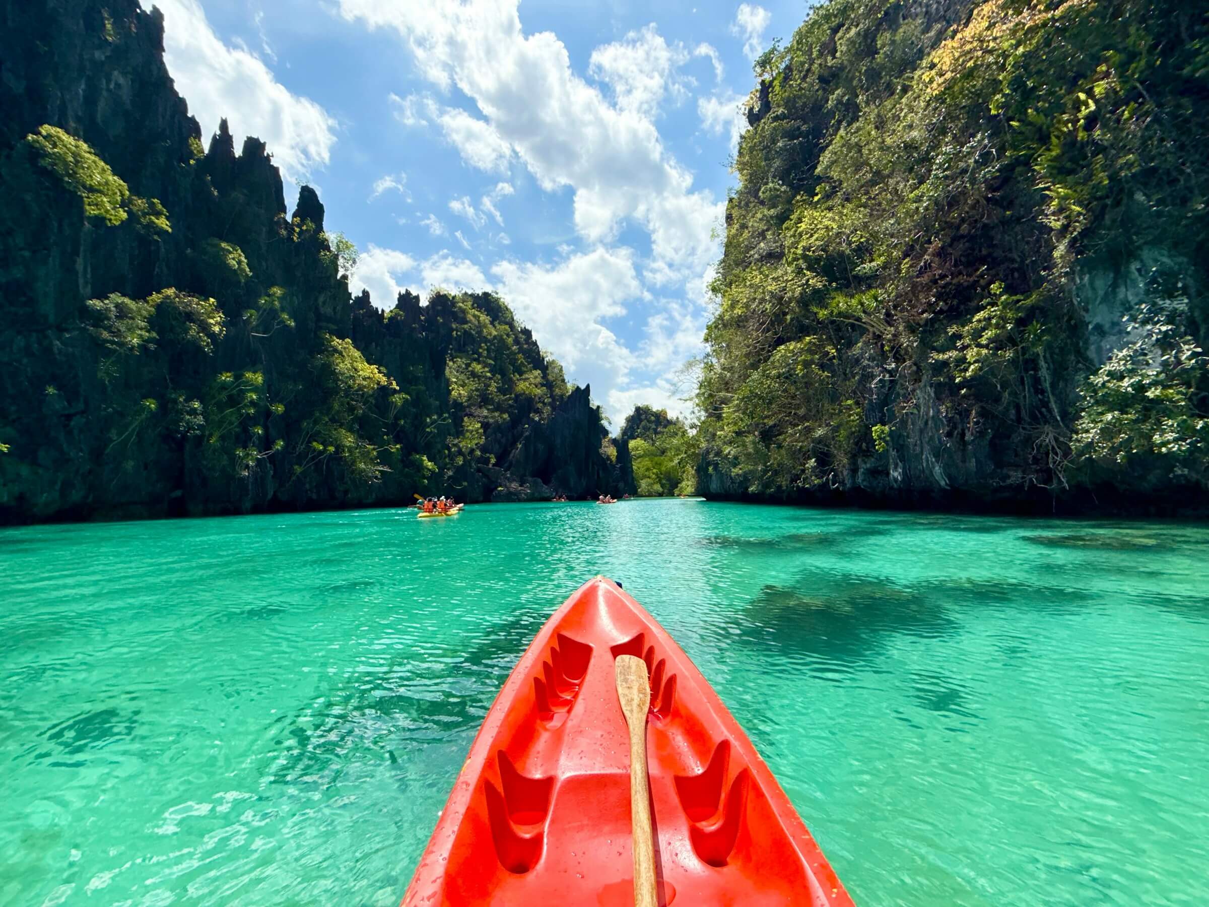
Kayaks are the way into the shallow lagoons, where the boats cannot follow.

Roman Lezhnin · Unsplash License

Boats beside the cliffs.

El Nido

Boats beside the cliffs.

Island-hopping boats anchor in the lee of the limestone.

Kaspars Upmanis · Unsplash License

Swimming between the stones.

El Nido

Swimming between the stones.

Limestone rises straight out of clear water.

Rommel Paras · Unsplash License

A long beach, one boat.

El Nido

A long beach, one boat.

Out of town, a quiet shore and a boat waiting offshore.

Jarno Colijn · Unsplash License

Next landfallTaytayAhead: Fort Santa Isabel · Malampaya Sound42 km from El Nido, as the crow flies
Taytay town by the bay

Cris Tagupa · Unsplash License

Landfall 06 / 24Bayan ng Taytay10.83° N, 119.52° E

The old Spanish capital, the Star of the North: a coral-stone fort between two seas.

Created
1623
Land area
1,257.68 km²
Barangays
31
People, 2024
85,258
Class
1st class

The story

Founded in 1623, Taytay was the capital of Calamianes province from 1818 and of Castilla from 1858. It lies between the South China Sea and the Sulu Sea.

To the west, Malampaya Sound has been protected since 2000 as a 200,115-hectare landscape and seascape, one of Palawan’s richest fishing grounds and home to the critically endangered Irrawaddy dolphin.

Best of Taytay

4 places to stop.

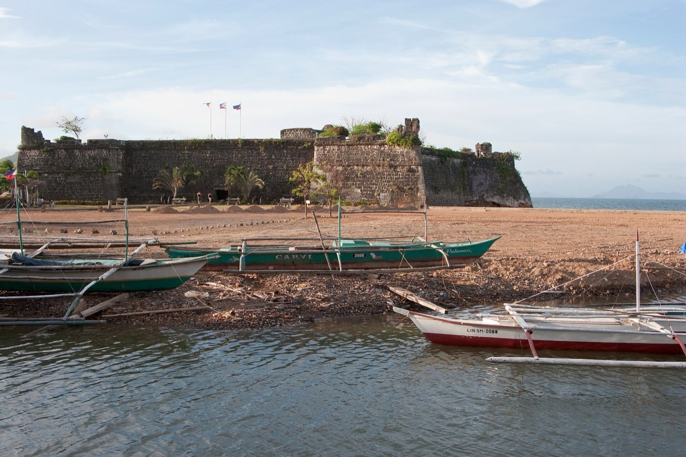
Fort Santa Isabel

Vyacheslav Argenberg · CC BY 4.0

Fort Santa Isabel

A wooden palisade of 1667, rebuilt in coral limestone in 1738 against raids and restored in 2018–19. Its chapel and cannons survive.

Malampaya Sound

Michael Maga-ao · Unsplash License

Malampaya Sound

A sheltered maze of bays, coves and islands where Irrawaddy dolphins feed. Dolphin-watching trips run from town.

Taytay Bay islands

Vyacheslav Argenberg · CC BY 4.0

Taytay Bay islands

Island-hopping and snorkelling, including Elephant and Castle Island, a protected swiftlet nesting site.

Lake Manguao

Rommel Paras · Unsplash License

Lake Manguao

A lake 7 km south-east of town where you can kayak.

By tricycle
Taytay4 stops
The fiesta
Pasinggatan Festival, 1–4 May, from the Cuyonon singgat, “lustre”; the Malampaya Festival in New Guinlo, 8–12 October, gives thanks for the year’s catch.
Known for
Marine products, its official town product.
Pasinggatan Festival

Travel Palawan · travel-palawan.com

1–4 May

Pasinggatan Festival

Song and folk dance, with shows of the crafts the town’s people make.

Next landfallSan VicenteAhead: Long Beach · Port Barton44 km from Taytay, as the crow flies
The coastline of San Vicente on the West Philippine Sea

Eibner Saliba · Unsplash License

Landfall 07 / 24Bayan ng San Vicente10.53° N, 119.25° E

A settler town with one of the longest white beaches in the country, and Port Barton round the corner.

Created
1969, RA 5821
Land area
1,462.94 km²
Barangays
10
People, 2024
33,768
Class
1st class

The story

San Vicente was founded by Cuyonon and Agutaynen settlers on the north-west coast, 186 km from Puerto Princesa.

Its Long Beach runs about 14.7 km across four barangays, split by two rocky points into three coves you can walk around at low tide.

Best of San Vicente

Long Beach and Port Barton.

Long Beach

Jimaggro · CC BY-SA 4.0

Long Beach

About 14.7 km of white sand, from the poblacion through New Agutaya and San Isidro to Alimanguan.

Port Barton

Vyacheslav Argenberg · CC BY 4.0

Port Barton

A quiet bay village and the base for island-hopping: Twin Reef, German Island, Exotic Island, Starfish Island.

German Island

Fabio Achilli from Milano, Italy · CC BY 2.0

German Island

A small uninhabited island off Port Barton for snorkelling and a long lunch. No one stays the night.

Boayan Island

GSMHERO · CC BY 3.0

Boayan Island

An island off the San Vicente coast, reached by bangka.

Bigaho Falls

Rommel Paras · Unsplash License

Bigaho Falls

A tiered waterfall a short boat ride and a walk from Port Barton.

About 20 minutes by boat, then 10 on foot
Port Barton at twilight

Vyacheslav Argenberg · CC BY 4.0

Port Barton at twilight

The bay goes quiet when the boats come in.

San Vicente6 stops
The fiesta
San Vicente Ferrer, 1–5 April; Malagnang Festival, 17–21 June.
Known for
Rice, coconut and fish; fishing and farming employ more than half the town.
The <em>East Coast.</em>
Leg three

The East Coast.

Leg three

The East Coast.

Farming towns facing the Sulu Sea and its seagrass bays.

Vyacheslav Argenberg · CC BY 4.0

Trees standing in the shallows of the Sulu Sea, Roxas

LGU of Roxas · roxaspalawanlgu.com

Landfall 08 / 24Bayan ng Roxas10.32° N, 119.34° E

A young farming and fishing town on the east coast, facing small islands and seagrass bays.

Created
1951, RA 615
Land area
1,177.56 km²
Barangays
31
People, 2024
69,729
Class
1st class

The story

Roxas faces the Sulu Sea, about 135 km by road from Puerto Princesa. Green Island Bay, off Barangay Tumarbong, is a case study in dugong and seagrass conservation.

Typhoon Odette made its final landfall here on 17 December 2021. The town rebuilt.

Best of Roxas

6 places to stop.

Modessa Island

Modessa Island resort · the resort

Modessa Island

An island resort of bamboo cottages, formerly Coco Loco Island.

About 45 minutes by boat from the wharf
The town and pier

LGU of Roxas · roxaspalawanlgu.com

The town and pier

A centre you can walk end to end in fifteen minutes, with boats leaving the wharf for the islands.

About 2½ hours by van from Puerto Princesa
Off the coast

Kingnaharry · CC BY-SA 4.0

Off the coast

Islands and sandbars of the poblacion, Purao and Johnson among them, on the town’s island tours.

Sandbars

LGU of Roxas · roxaspalawanlgu.com

Sandbars

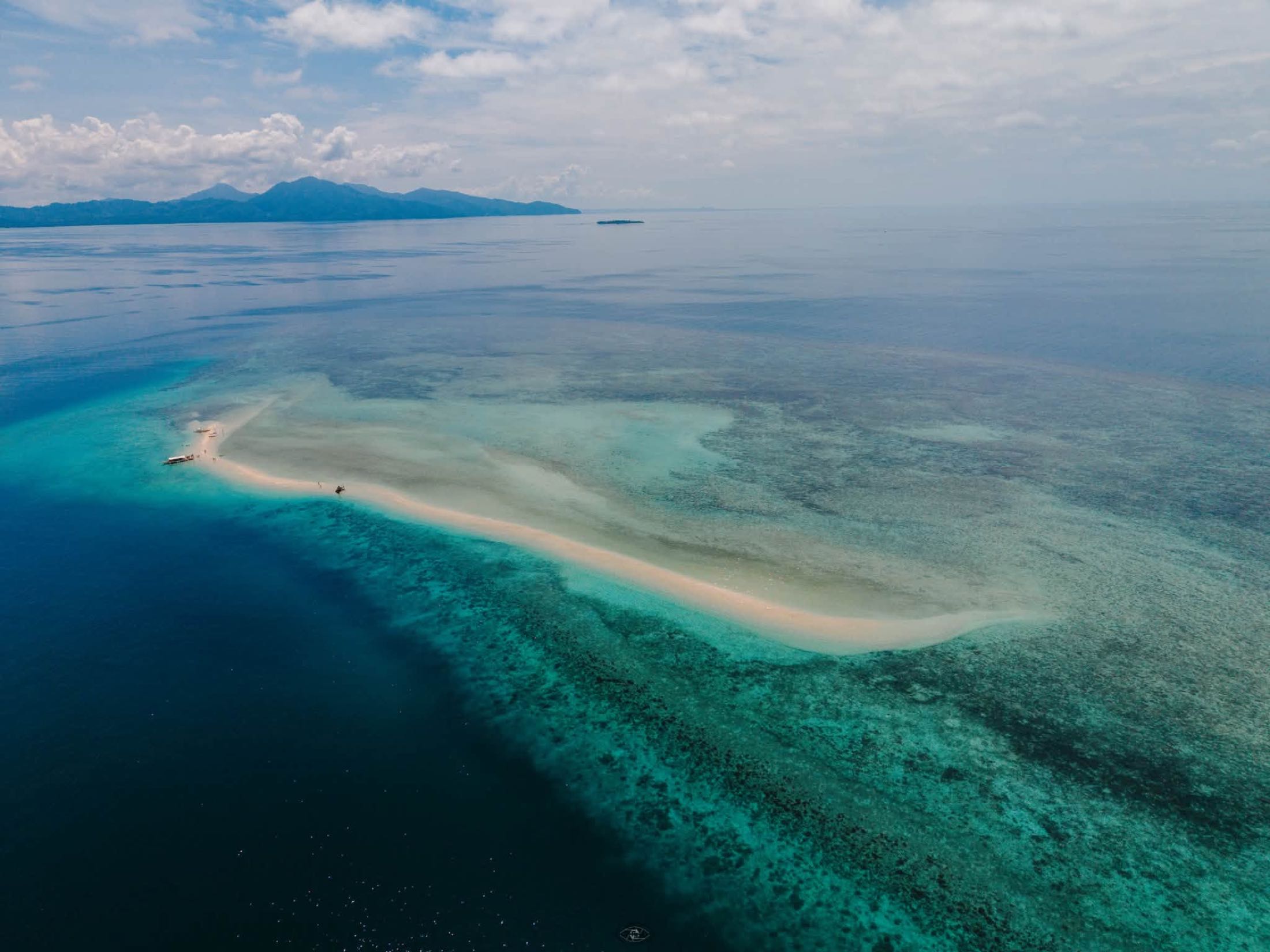
Thin white sandbars over the reef, there at low tide and gone at high.

Tumarbong

Shared publicly online · owner unknown

Tumarbong

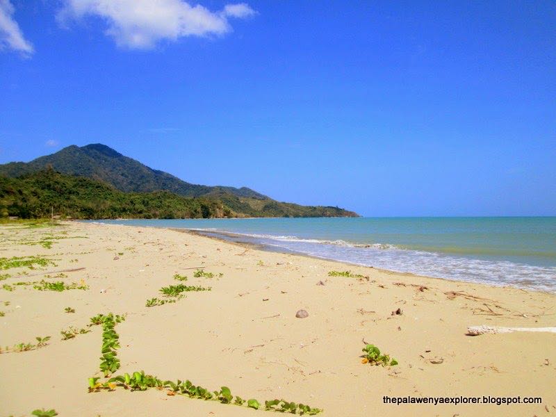
A long, quiet beach under the hills.

Cashew country

David Stanley · CC BY 2.0

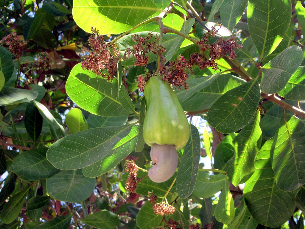
Cashew country

The cashew harvest is the one the whole town waits for.

Roxas6 stops
The fiesta
Panalaminan Festival, 15–16 May, the town fiesta and foundation day, recalling its silica-sand past and its farms and fisheries.
Known for
Cashew: the province’s “Cashew Capital”, with its own cashew-processing village.
Panalaminan Festival

LGU of Roxas · roxaspalawanlgu.com

15–16 May

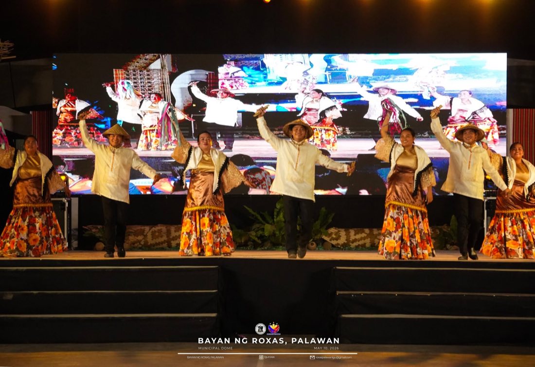
Panalaminan Festival

The town fiesta and foundation day: cultural dances on stage, pageants, a battle of the bands and motocross.

Next landfallDumaranAhead: Banawa Sand Bar · Dumaran Bay and Island52 km from Roxas, as the crow flies
Dumaran Bay

Michael Maga-ao · Unsplash License

Landfall 09 / 24Bayan ng Dumaran10.53° N, 119.77° E

Farms, fishing boats and forest that still shelters the katala.

Created
1961, RA 3418
Land area
435.00 km²
Barangays
16
People, 2024
23,795
Class
1st class

The story

Dumaran covers part of north-eastern mainland Palawan and the southern half of Dumaran Island. Its first settlers came from Cuyo in 1875.

Its remaining forest shelters the Philippine cockatoo, the Philippine pangolin and the Palawan forest turtle.

Best of Dumaran

2 places to stop.

Banawa Sand Bar

Troy Kolokoy · CC BY 3.0

Banawa Sand Bar

The town’s best-known spot: a beach, clear water and coral reef.

Dumaran Bay and Island

Troy Kolokoy · CC BY 3.0

Dumaran Bay and Island

An island 2.7 km off the mainland, shared with Araceli and reached by pump boat.

Dumaran2 stops
The fiesta
Kalabukay Festival, 14–18 June.
Known for
Cashew, its official town product.
Next landfallAraceliAhead: Tinintinan beach · The islands around town24 km from Dumaran, as the crow flies
Araceli, on Dumaran Island

Mario von Rotz · Unsplash License

Landfall 10 / 24Bayan ng Araceli10.55° N, 119.99° E

Our Lady of the Altar of the Sky: a Cuyonon town barely on the tourist map.

Created
Spanish era; renamed 1954
Land area
204.30 km²
Barangays
13
People, 2024
14,554
Class
3rd class

The story

Araceli covers roughly the northern half of Dumaran Island and nearby islets. It was the original Dumaran until 1954, and is named after its parish, Nuestra Señora de Araceli.

Typhoon Odette in 2021 destroyed nine in ten of its properties.

Best of Araceli

2 places to stop.

Tinintinan beach

Cris Tagupa · Unsplash License

Tinintinan beach

A white-sand beach in Barangay Tinintinan.

The islands around town

Michael Maga-ao · Unsplash License

The islands around town

Islands and marine life all around; boat trips can be arranged locally.

Regular boat from Roxas, 4 to 5 hours
Araceli2 stops
Known for
Marine products, its official town product.
Out into the <em>Sulu Sea.</em>
Leg four

Out into the Sulu Sea.

Leg four

Out into the Sulu Sea.

The Cuyo islands, and the far reefs of Tubbataha.

LuzViMindaLife · CC BY-SA 4.0

Capusan Beach and Cuyo Port

Cris Tagupa · Unsplash License

Landfall 11 / 24Bayan ng Cuyo10.85° N, 121.01° E

The oldest town in Palawan and the heart of Cuyonon culture, in the middle of the Sulu Sea.

Created
1622
Land area
84.95 km²
Barangays
17
People, 2024
24,702
Class
3rd class

The story

Cuyo was the provincial capital from 1873. It has a fort around its church, its own mazurka, and tipano fife-and-drum bands.

Its language, Cuyonon, gave the province its festival name: Baragatan, from bagat, to meet.

Best of Cuyo

4 places to stop.

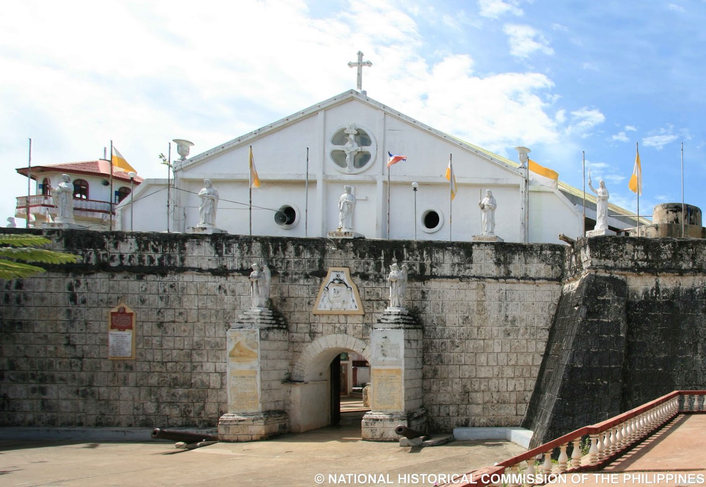
Fort Cuyo

National Historical Commission of the Philippines · Public domain

Fort Cuyo

A one-hectare fort finished in 1680, walls 10 m high and 2 m thick, enclosing the church, convent and chapel.

A few minutes’ walk from the port
Capusan Beach

LuzViMindaLife · CC BY-SA 4.0

Capusan Beach

The town beach and its long sandbar; the kiteboarding spot in the amihan months, December to March.

Pamalican Island

The original uploader was Ortmann at English Wikipedia. · CC BY 3.0

Pamalican Island

A sandy island 2.5 km long in a 7 km² reef, privately run as a resort.

Mount Aguado

John Hernandez · Unsplash License

Mount Aguado

Life-size Stations of the Cross on the path to the top; pilgrims climb on Holy Thursday.

Cuyo4 stops
The fiesta
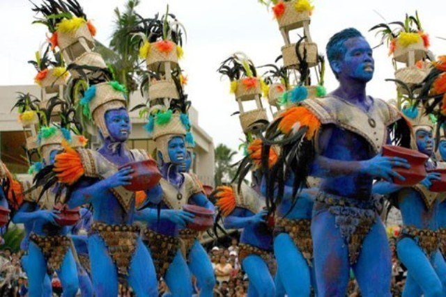
Purongitan Festival, 28 August, the feast of Saint Augustine: an Ati-ati parade in soot and indigo, with islanders arriving by baroto.
Known for
Cashew, its official town product.
Cuyo Fiesta

Travel Palawan · travel-palawan.com

August

Cuyo Fiesta

An Ati dance like the Ati-Atihan: faces in soot and indigo, headgear of coconut fibre and feathers, and a clown who chases the women until coins are thrown. Parades re-enact Saint Augustine meeting the islanders.

Next landfallMagsaysayAhead: East-shore beaches · Lucbuan4 km from Cuyo, as the crow flies
Magsaysay, eastern Cuyo Island

Jarno Colijn · Unsplash License

Landfall 12 / 24Bayan ng Magsaysay10.86° N, 121.05° E

The quiet east side of Cuyo Island, once the short-lived Republic of Lucbuan of 1899.

Created
1961, RA 3426
Land area
49.48 km²
Barangays
11
People, 2024
13,273
Class
4th class

The story

Magsaysay is the eastern half of Cuyo Island plus Alcoba, Canipo, Siparay and other islets. Cuyo Airport is here, twenty minutes from Cuyo town.

Best of Magsaysay

2 places to stop.

East-shore beaches

Jarno Colijn · Unsplash License

East-shore beaches

Quejano and Victoria beaches, with chest-deep clear water for learning to kiteboard.

About 20 minutes from Cuyo town
Lucbuan

Cris Tagupa · Unsplash License

Lucbuan

St. Michael the Archangel church, where the town fiesta is held, and the ruins of an unfinished fort.

Magsaysay2 stops
The fiesta
Pangalivay Festival, 29 September, the feast of San Miguel, its patron.
Next landfallAgutayaAhead: Baluarte de San Juan Bautista · The beaches34 km from Magsaysay, as the crow flies
Agutaya island seen from sea level

Rommel Paras · Unsplash License

Landfall 13 / 24Bayan ng Agutaya11.15° N, 120.94° E

A four-peaked volcanic island and its islets, home of the Agutaynen.

Created
1916
Land area
37.31 km²
Barangays
10
People, 2024
13,351
Class
5th class

The story

Agutaya is the eastern, smallest part of the Cuyo Archipelago, cut off for long stretches by the monsoons. Its people speak Agutaynen.

Best of Agutaya

2 places to stop.

Baluarte de San Juan Bautista

Bernd Dittrich · Unsplash License

Baluarte de San Juan Bautista

A church of 1683 remodelled into a fort after raids; it sheltered the town in the Second World War.

The beaches

Cris Tagupa · Unsplash License

The beaches

Little-known white-sand beaches and long sunsets.

About 3 hours by outrigger from Cuyo
Agutaya2 stops
Known for
Seaweed, its official town product.
Next landfallCagayancilloAhead: Tubbataha Reefs · The ranger station177 km from Agutaya, as the crow flies
The reefs of Tubbataha, under Cagayancillo’s jurisdiction

Cris Tagupa · Unsplash License

Landfall 14 / 24Bayan ng Cagayancillo9.58° N, 121.20° E

Thirty-one low islands far out in the Sulu Sea, and the keepers of Tubbataha.

Created
1810
Land area
26.39 km²
Barangays
12
People, 2024
7,164
Class
5th class

The story

Cagayancillo is closer to Negros and Panay than to Puerto Princesa. Its jurisdiction runs about 130 km south-west to the Tubbataha Reefs, which its people call Gusong.

In July 2026 a provincial health mission reached it with consultations for more than 500 residents.

Best of Cagayancillo

3 places to stop.

Tubbataha Reefs

q.phia · CC BY 2.0

Tubbataha Reefs

Two atolls and the Jessie Beazley Reef: 97,030 hectares, at least 600 fish species, 360 corals and 11 sharks.

Only by licensed liveaboard from Puerto Princesa, mainly March to June
The ranger station

Dianathegreat2018 · CC BY-SA 4.0

The ranger station

Rangers from the park, the Navy, the Coast Guard and Cagayancillo keep watch from the North Atoll.

Cagayancillo Fort

Mario von Rotz · Unsplash License

Cagayancillo Fort

A diamond-shaped fort of sea rock and lime, walls 12 m high and 3 m thick, enclosing a church.

Cagayancillo3 stops
The fiesta
Panagat Festival, 1–10 September, with the town fiesta on 8 September.
Known for
Seaweed, its official town product.
The <em>City.</em>
Leg five

The City.

Leg five

The City.

Gateway, capital, and a forest with a river underneath.

City of Puerto Princesa · puertoprincesa.ph

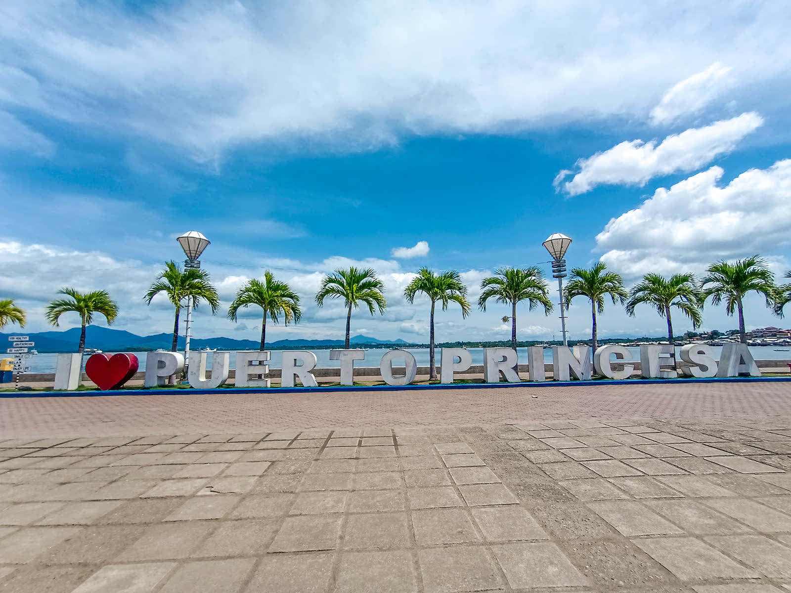
Sunrise over the bay at the Puerto Princesa Baywalk

City of Puerto Princesa · puertoprincesa.ph

Landfall 15 / 24City of Puerto Princesa · independent city9.74° N, 118.74° E

The capital and the gateway: a bayside port that is mostly forest, with a river that runs under a mountain.

Founded
4 March 1872
Land area
2,381.02 km²
Barangays
66
People, 2024
316,384
Status
Highly urbanized city

The story

Puerto Princesa has been a highly urbanized city since 2007, legally independent of the province it is capital of. It is one of the largest cities in the country by land, and most of it is forest.

On 14 December 1944, at Plaza Cuartel, Japanese soldiers killed 139 Allied prisoners of war; eleven survived. The site is now a memorial park beside the cathedral.

Best of Puerto Princesa

Under the mountain, out on the bay.

The Underground River

City of Puerto Princesa · puertoprincesa.ph

The Underground River

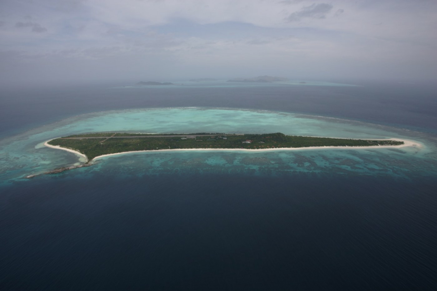
A navigable river 8.2 km long that runs beneath a limestone mountain into the sea. UNESCO World Heritage since 1999, a New7Wonder of Nature since 2012.

From Sabang wharf, a short boat ride to the cave mouth
Sabang Beach

Vyacheslav Argenberg · CC BY 4.0

Sabang Beach

The village beach where the river trips begin, with the forest coming down to the sand.

Honda Bay

City of Puerto Princesa · puertoprincesa.ph

Honda Bay

A bay north of the city scattered with small islands, Luli, Cowrie and Pambato Reef among them.

Plaza Cuartel

Joelaldor · CC BY-SA 4.0

Plaza Cuartel

A memorial to the prisoners of war killed here in 1944, beside the neo-Gothic cathedral on the old hill.

The cathedral

City of Puerto Princesa · puertoprincesa.ph

The cathedral

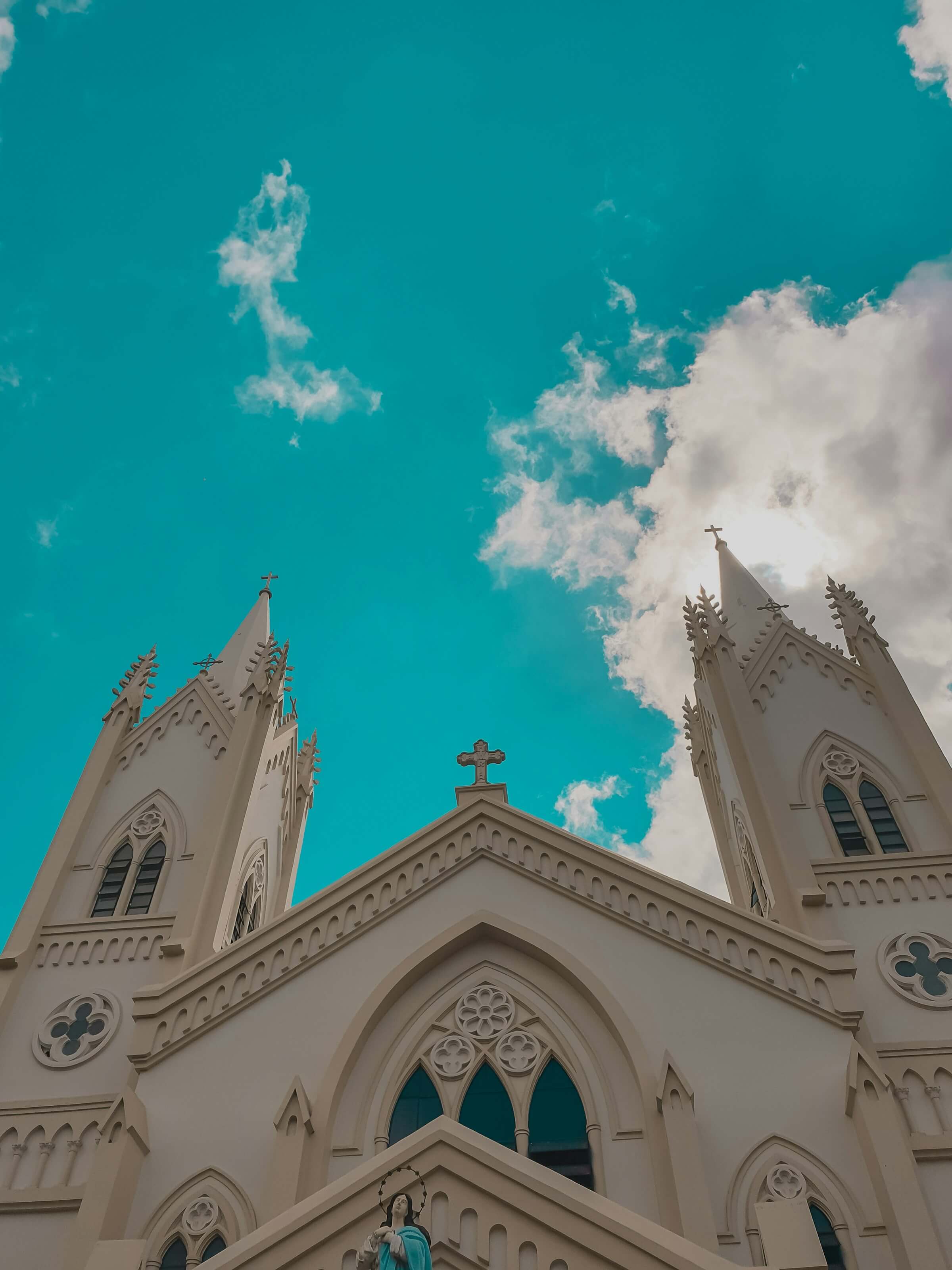
The Immaculate Conception Cathedral, neo-Gothic in white, beside Plaza Cuartel on the hill above the bay.

BM Beach, San Pedro

Michael Maga-ao · Unsplash License

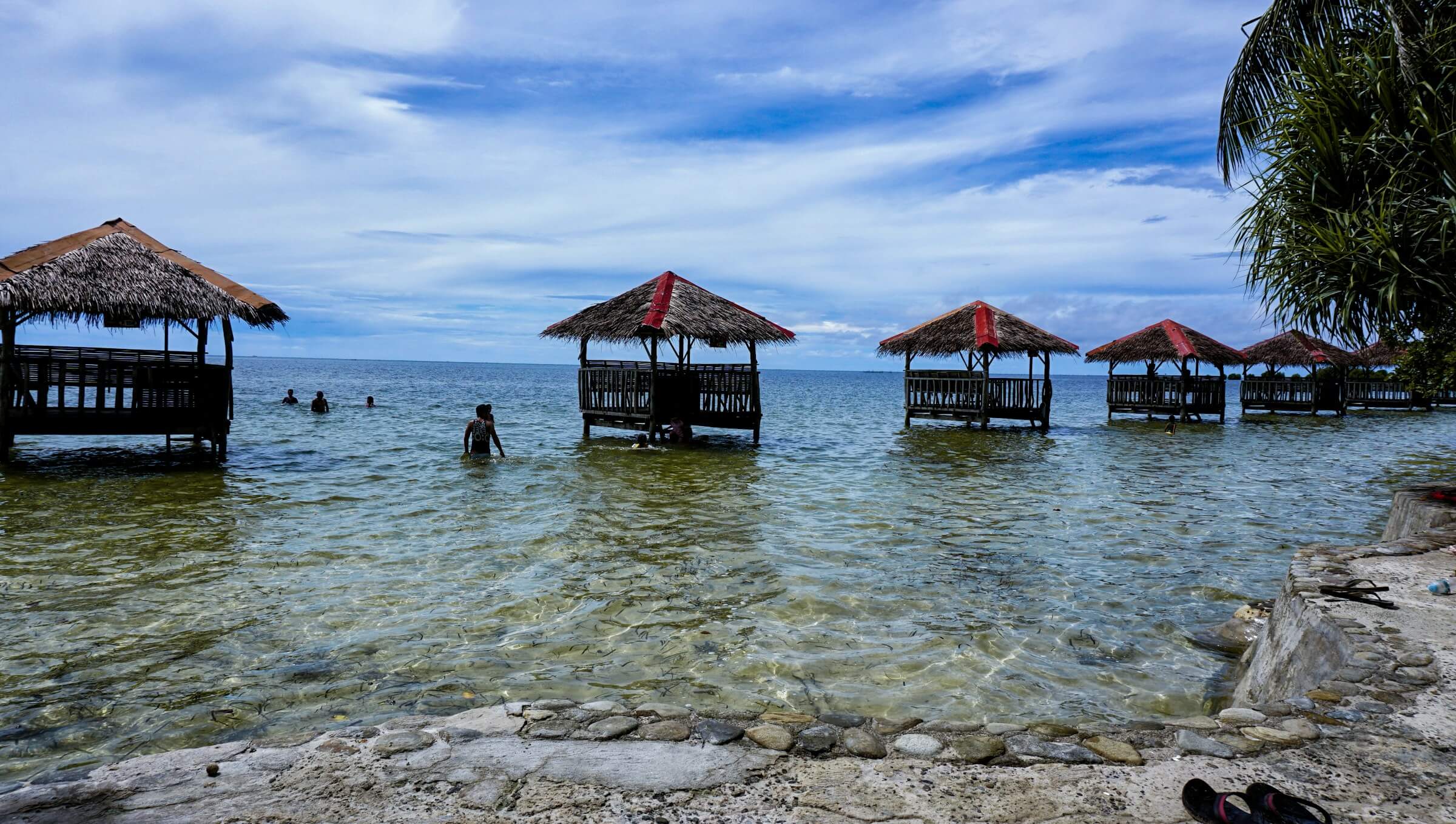
BM Beach, San Pedro

A city beach in Barangay San Pedro, with cottages on stilts out over the shallows.

Ugong Rock

Robertmarrel · CC BY-SA 4.0

Ugong Rock

A limestone rock above the paddies of Tagabinet that you climb, then leave by zipline.

The Baywalk

City of Puerto Princesa · puertoprincesa.ph

The Baywalk

The seaside promenade for sunsets, street food and a slow evening.

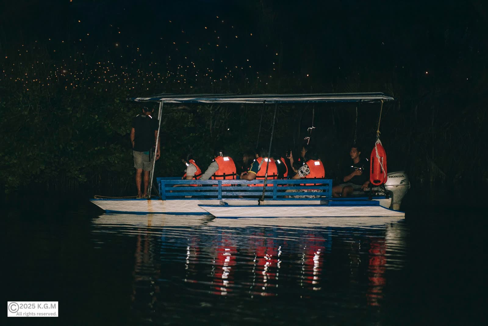
Iwahig fireflies

City of Puerto Princesa · puertoprincesa.ph

Iwahig fireflies

Night boat rides on the Iwahig River, to watch the fireflies in the mangroves.

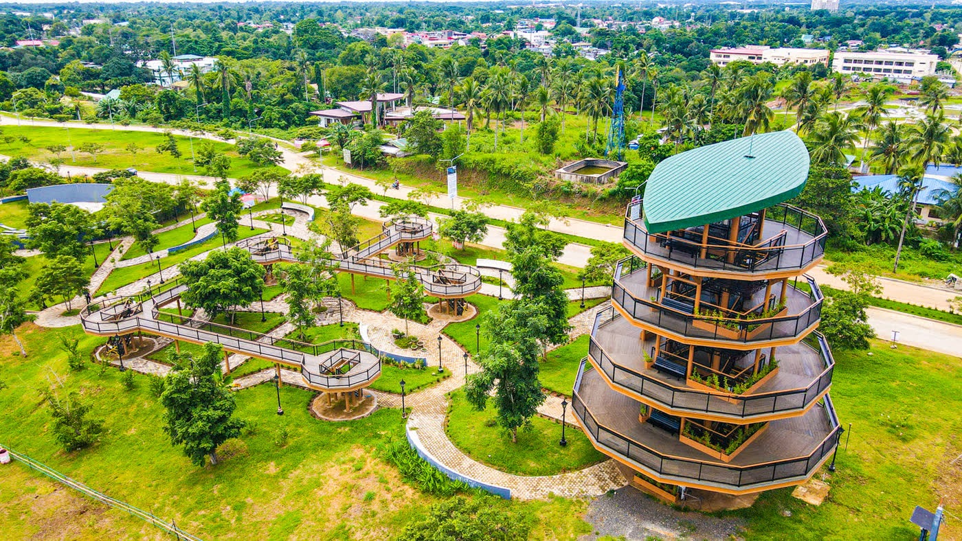
Balayong People’s Park

City of Puerto Princesa · puertoprincesa.ph

Balayong People’s Park

Winding paths and a round viewing tower, named for the balayong tree.

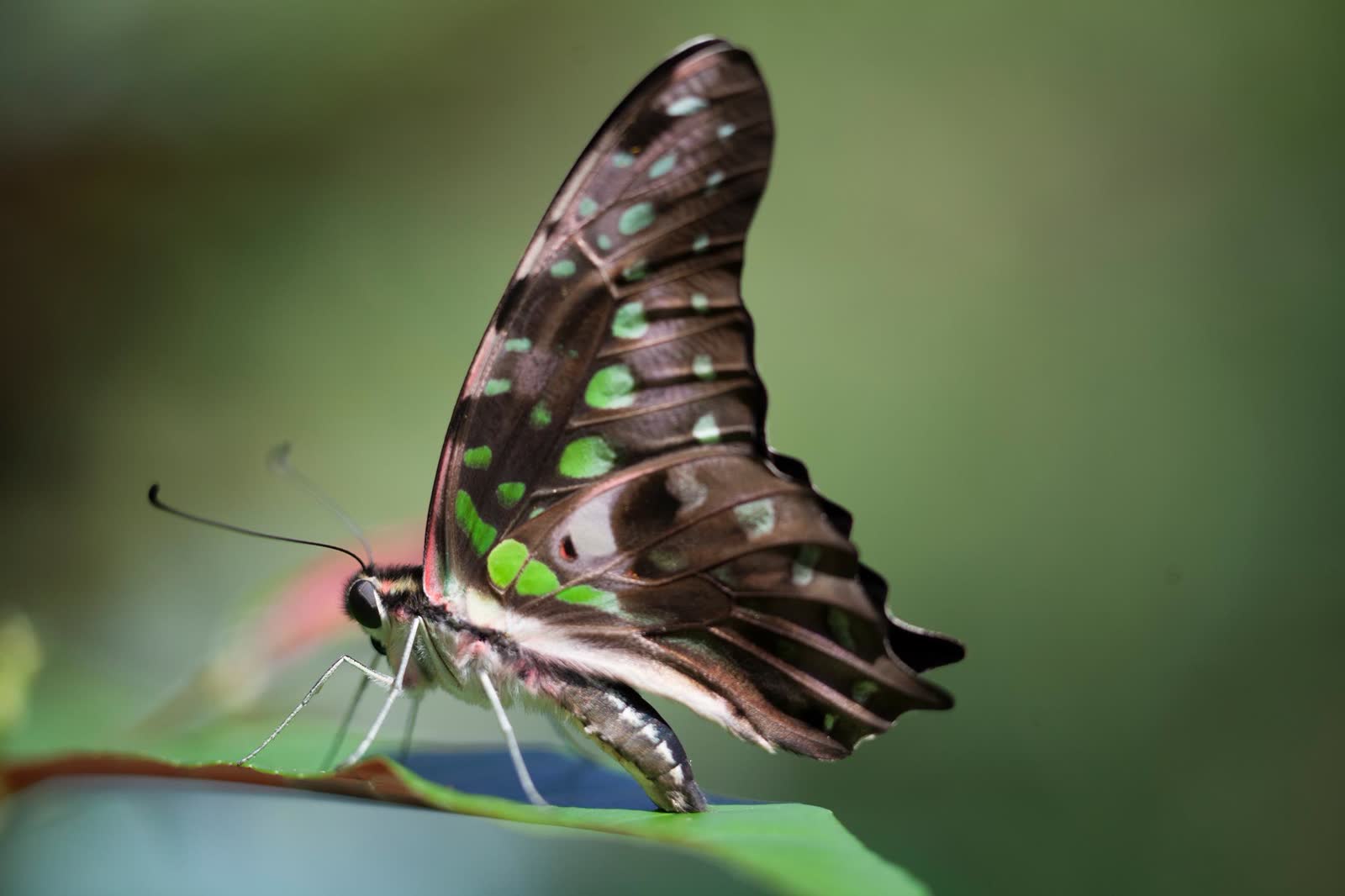
The butterfly garden

City of Puerto Princesa · puertoprincesa.ph

The butterfly garden

A garden of native butterflies and plants in the city.

Puerto Princesa11 stops
The fiesta
Balayong Festival, 4 March; Pista y ang Cagueban, June.
Known for
Lamayo, its sun-dried marinated fish, the city’s official product.
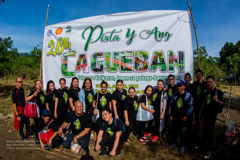
Pista y ang Cagueban

City of Puerto Princesa · puertoprincesa.ph

June

Pista y ang Cagueban

The city’s feast of the forest, when residents plant trees in its watersheds.

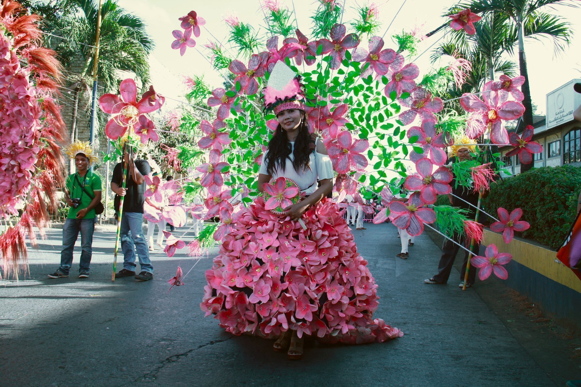
Balayong Festival

Travel Palawan · travel-palawan.com

March, on the city’s founding

Balayong Festival

Named for the Palawan cherry, which blooms in February and March. Parades, street dances, sports and pageants, in costumes drawn from the balayong tree and the spirits of the forest.

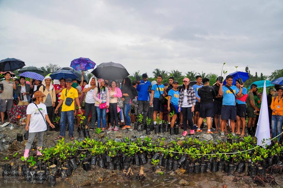
Love Affair with Nature

Travel Palawan · travel-palawan.com

14 February

Love Affair with Nature

On Valentine’s Day the city plants mangroves along the shore at Barangay San Jose, and couples can marry in a mass wedding held for the environment.

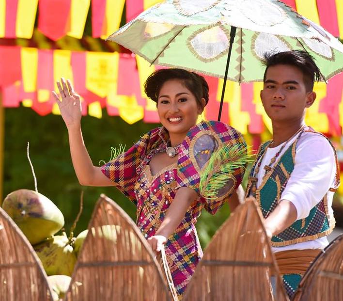
Baragatan sa Palawan

Travel Palawan · travel-palawan.com

Third week of June

Baragatan sa Palawan

A week on the Capitol grounds for the founding of the provincial civil government: a parade of floats and street dances, then contests, concerts and huts where far towns sell their crafts, cashews and delicacies.

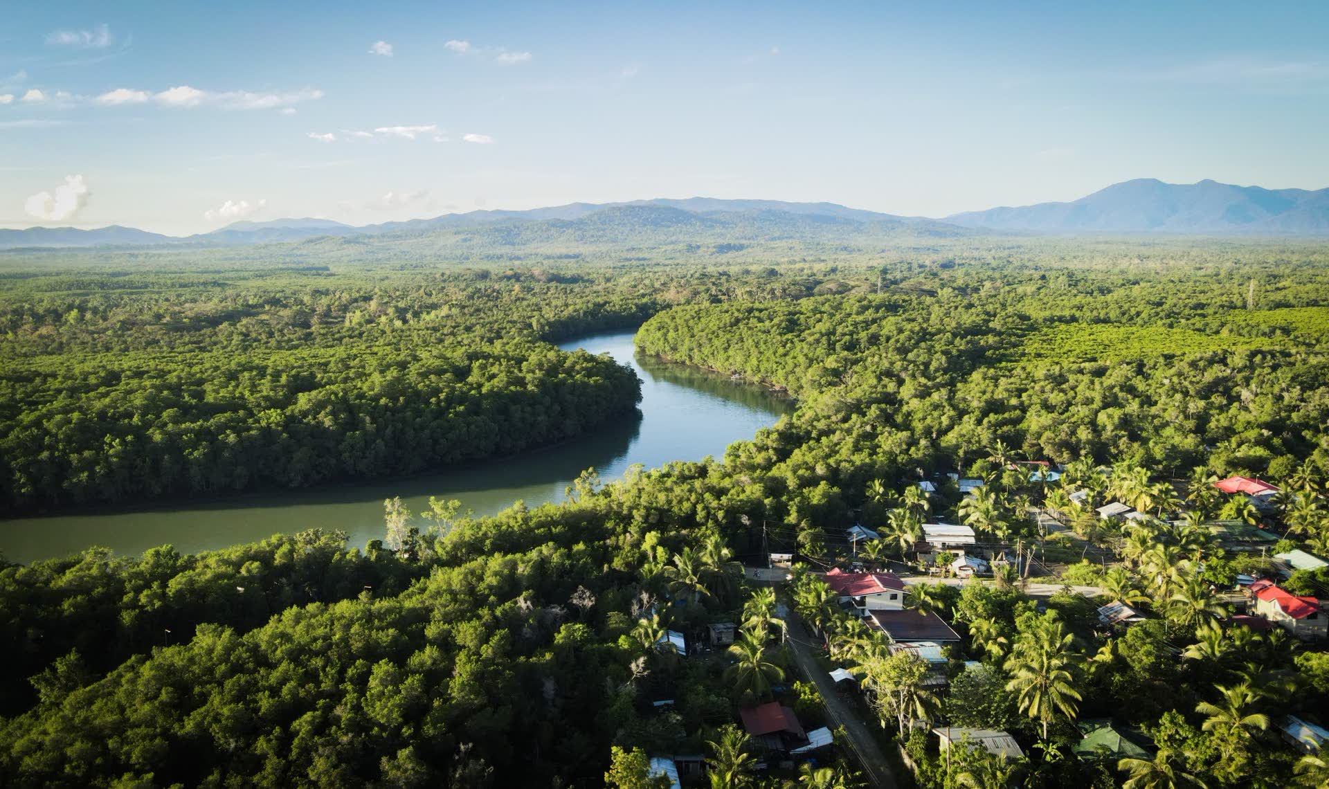
A river through the forest.

Puerto Princesa

A river through the forest.

Most of the city is forest, from the mountains down to the bays.

City of Puerto Princesa · puertoprincesa.ph

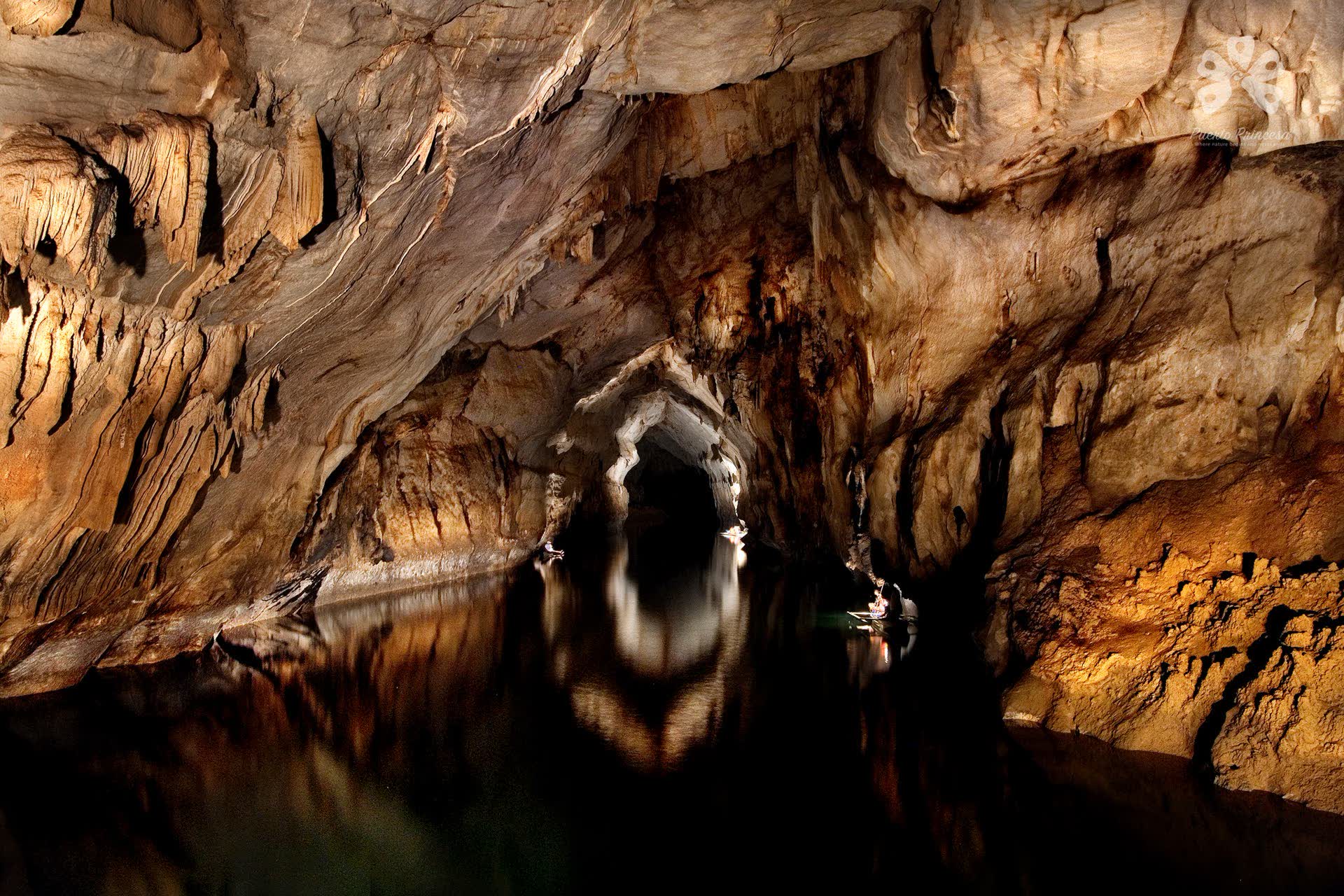
Inside the mountain.

The Underground River

Inside the mountain.

Lamplight on the ribbed limestone walls of the river cave.

City of Puerto Princesa · puertoprincesa.ph

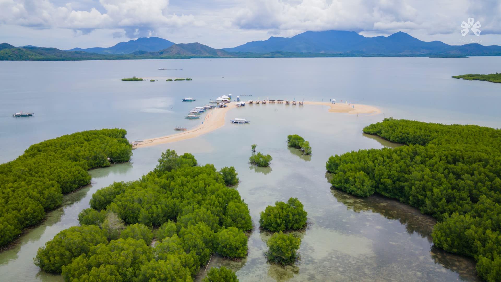
Sandbars and mangroves.

Puerto Princesa

Sandbars and mangroves.

A long sandbar and mangrove islets in a calm bay.

City of Puerto Princesa · puertoprincesa.ph

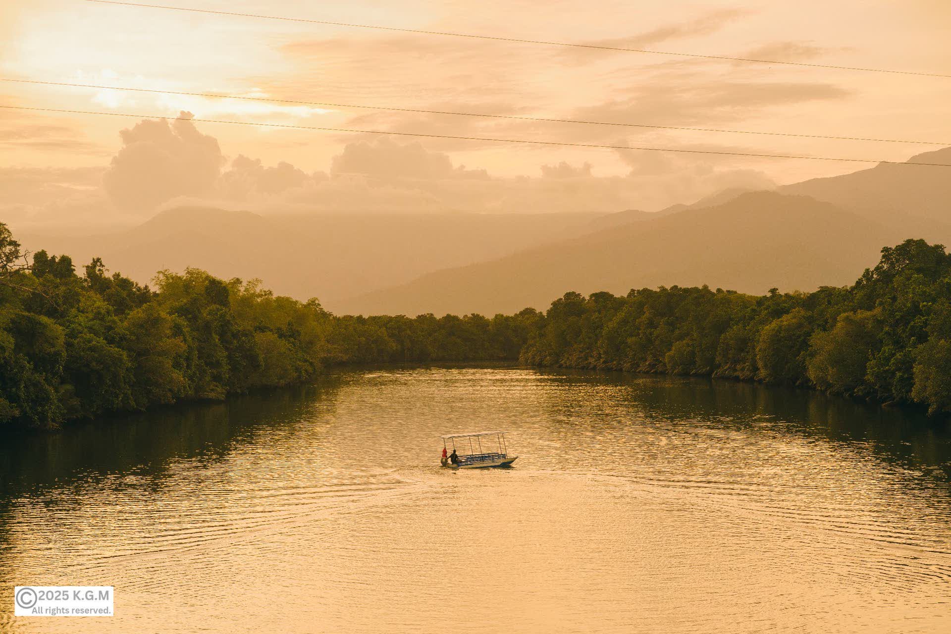
Dusk on the river.

Puerto Princesa

Dusk on the river.

A lone boat between forested banks at the end of the day.

City of Puerto Princesa · puertoprincesa.ph

Under the <em>Mountains.</em>
Leg six

Under the Mountains.

Leg six

Under the Mountains.

Rice plains, the Victoria Peaks, the Tabon Caves and the end of the west-coast road.

Shared publicly on Facebook · Rizal, Palawan public posts

The Aborlan plain between the sea and the mountains

Jules Bassoleil · Unsplash License

Landfall 16 / 24Bayan ng Aborlan9.44° N, 118.55° E

A quiet plain between the Sulu Sea and the mountains, where Tagbanwa heritage is part of daily life.

Created
1949, EO 232
Land area
807.33 km²
Barangays
19
People, 2024
39,972
Class
1st class

The story

Aborlan began as a Tagbanwa reservation and became a municipality in 1949. It lies 68 km south of Puerto Princesa.

In July 2026 the Ibato-Iraan small reservoir, reported as Palawan’s largest irrigation project, was inaugurated here for its farmers.

Best of Aborlan

3 places to stop.

Tangod Falls

Rommel Paras · Unsplash License

Tangod Falls

A forest stream of tiered pools, where the Tagbanwa community hosts cultural performances.

Apurawan Beach

Cris Tagupa · Unsplash License

Apurawan Beach

A west-coast road under leaning coconut palms.

Ethnos Farm Museum

USAID Biodiversity & Forestry · Public domain

Ethnos Farm Museum

A small museum keeping Tagbanwa, Pala’wan and Batak heritage; artisans nearby weave rattan and pandan.

Aborlan3 stops
The fiesta
Rakudan Festival in June, Palawano for “gathering in an agreed place”; Pagdiwata, a Tagbanwa ritual of healing and thanks, at the full moon of December.
Known for
Banana and banana chips, its official town product.
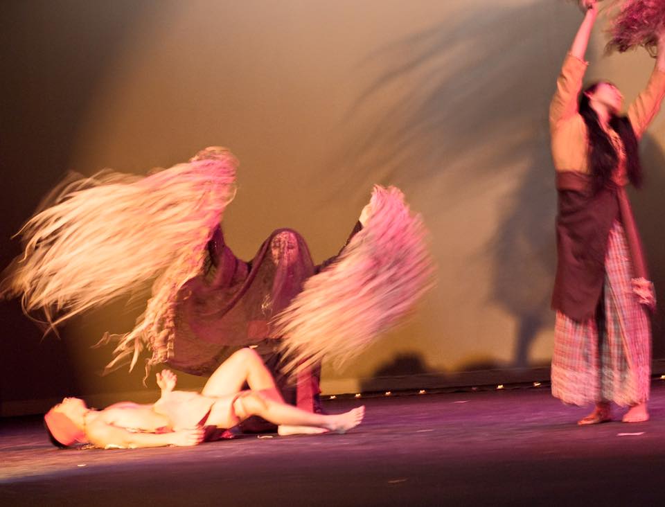
Pagdiwata

Travel Palawan · travel-palawan.com

Full moon of December

Pagdiwata

A Tagbanwa ritual of thanks for the harvest and of healing for the sick.

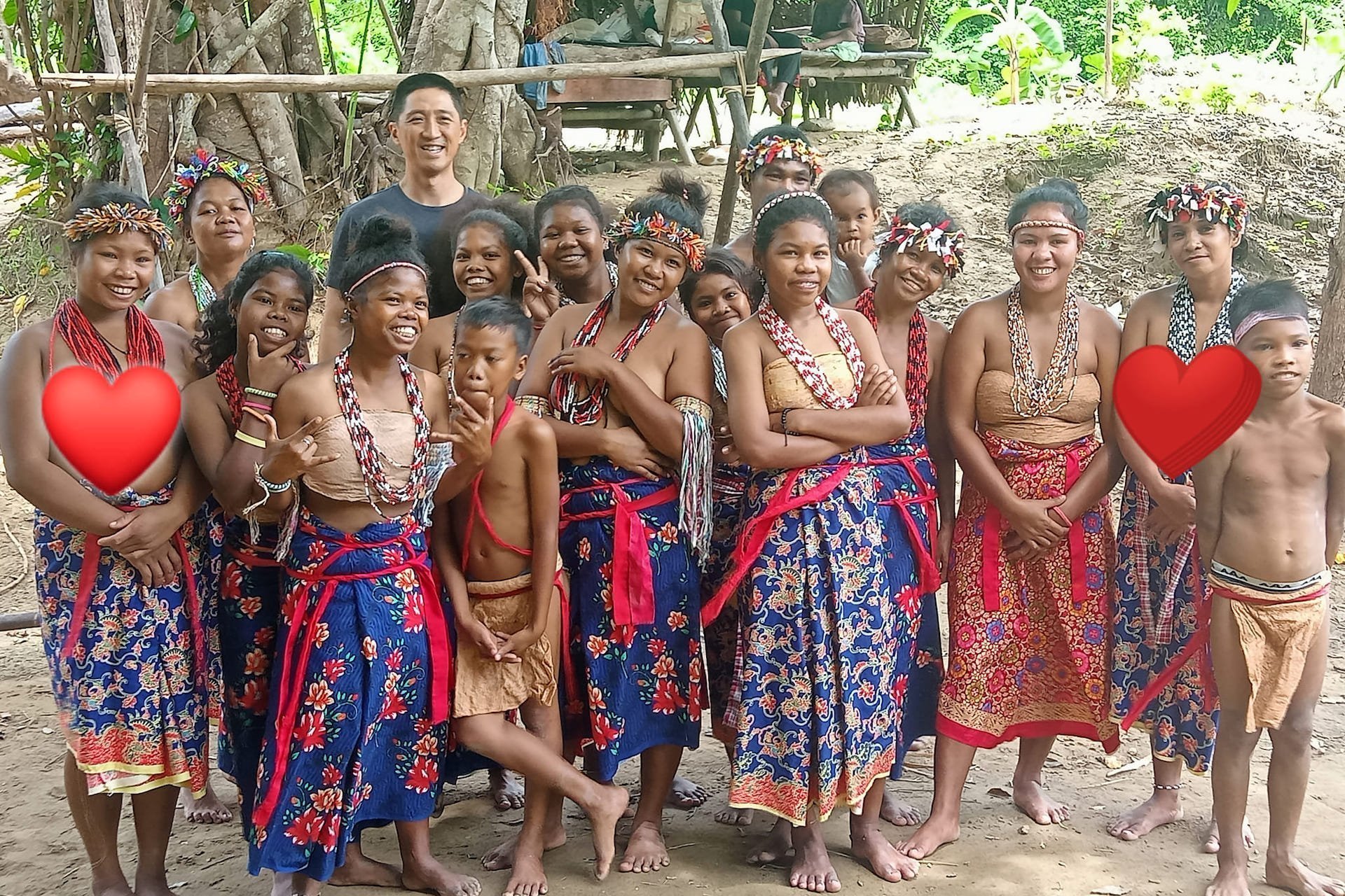
Tarek Festival

Travel Palawan · travel-palawan.com

Third week of January, at full moon

Tarek Festival

Ritual dances of the Tagbanwa and the Batak after Pagdiwata. The Batak dance in woven dress to drive away evil spirits.

Next landfallNarraAhead: Rasa Island · Estrella Falls24 km from Aborlan, as the crow flies
Mist over the Teeth, seen from the peak of Mount Victoria

Geio Tischler · Unsplash License

Landfall 17 / 24Bayan ng Narra9.27° N, 118.40° E

Rice country under the Victoria Peaks, and the last great flock of the katala.

Created
1969, RA 5642
Land area
831.73 km²
Barangays
23
People, 2024
80,572
Class
1st class

The story

Narra is both the national tree and an acronym: the National Resettlement and Rehabilitation Administration, which brought landless settlers from Luzon from 1954.

On Mount Victoria, a pitcher plant collected in 2007 was named after Sir David Attenborough.

Best of Narra

4 places to stop.

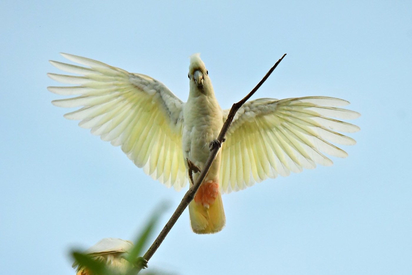
A Philippine cockatoo

Ranieljosecastaneda · CC BY-SA 4.0

Rasa Island

A flat coral island ringed by mangroves, holding the largest wild population of the Philippine cockatoo. Protected since 2006.

Estrella Falls

Jimaggro · CC BY-SA 4.0

Estrella Falls

The most accessible of Narra’s falls, 20 to 30 minutes from the town centre.

The coast at Narra

sussexbirder · CC BY 2.0

Victoria Peaks

Twin peaks called the Teeth, on the same ultramafic range as Mantalingahan.

Arena Island

Cris Tagupa · Unsplash License

Arena Island

A semi-private resort island in Barangay Panacan, named for its fine sand.

Narra4 stops
The fiesta
Town fiesta 19 March; Palay Festival in October.
Known for
Rice: the “Rice Granary of Palawan”, with rice and rice-based products its official town product.
Palay Festival

Travel Palawan · travel-palawan.com

Last week of October

Palay Festival

Once the Anihan Festival. The “Rice Granary of Palawan” gives thanks for the harvest with street dances, parades and its rice and farm produce.

Next landfallQuezonAhead: Tabon Caves · The Manunggul Jar45 km from Narra, as the crow flies
Sunset on the west coast, Quezon

Elaine Ore · Unsplash License

Landfall 18 / 24Bayan ng Quezon9.24° N, 117.99° E

The town once called Tabon, where the oldest known people of the Philippines were found.

Created
1951, RA 617
Land area
943.19 km²
Barangays
14
People, 2024
68,532
Class
1st class

The story

Quezon is a west-coast town about three hours by road from Puerto Princesa. At Lipuun Point, the Tabon Caves are called the country’s cradle of civilisation.

The National Museum opened the Tabon Caves Museum at the site on 1 February 2024.

Best of Quezon

4 places to stop.

Tabon Caves

Alexcooper1 · CC BY-SA 3.0

Tabon Caves

A cave complex at Lipuun Point: 215 caves known, 29 fully explored, seven open to the public.

The Manunggul Jar at the National Museum

Gary Todd · CC0

The Manunggul Jar

A burial jar of 890–710 BC from Manunggul Cave; two figures in a boat on its lid carry a soul to the afterlife. Now in Manila.

Tumarbong Falls

Michael Maga-ao · Unsplash License

Tumarbong Falls

Falls in Barangay Maasin, a short ride and a 20-minute hike from the highway.

Sidanao and Tataran

Cris Tagupa · Unsplash License

Sidanao and Tataran

Islands off the coast for a day of island-hopping.

Quezon4 stops
The fiesta
Manunggul Festival, 15 May, on the foundation day.
Known for
Coconut, pressed locally into cooking oil.
Next landfallRizalAhead: Mount Mantalingahan · Tarumpitao Point45 km from Quezon, as the crow flies
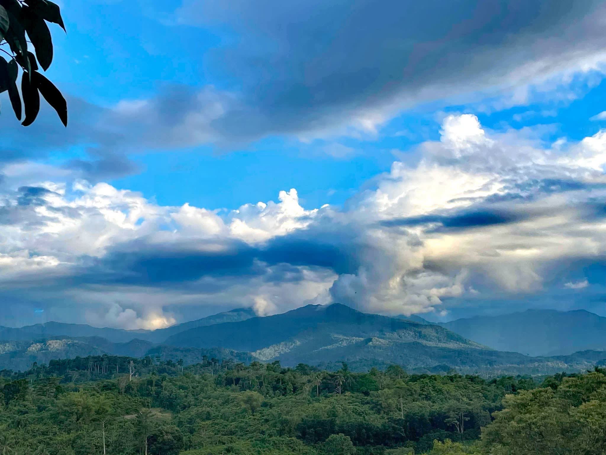
The west coast of Rizal below Mount Mantalingahan

Shared publicly on Facebook · Rizal, Palawan public posts

Landfall 19 / 24Bayan ng Rizal9.03° N, 117.64° E

The end of the west-coast road, below the highest mountain on Palawan.

Created
1983, BP 386
Land area
1,256.47 km²
Barangays
11
People, 2024
59,040
Class
1st class

The story

Rizal began as the town of Marcos at Tarumpitao Point and was renamed by law. It is 203 km from Puerto Princesa.

In the Singnapan Valley live the Tau’t Bato; the valley’s charcoal drawings are on UNESCO’s Tentative List. Visit only with a guide and the community’s permission.

Best of Rizal

6 places to stop.

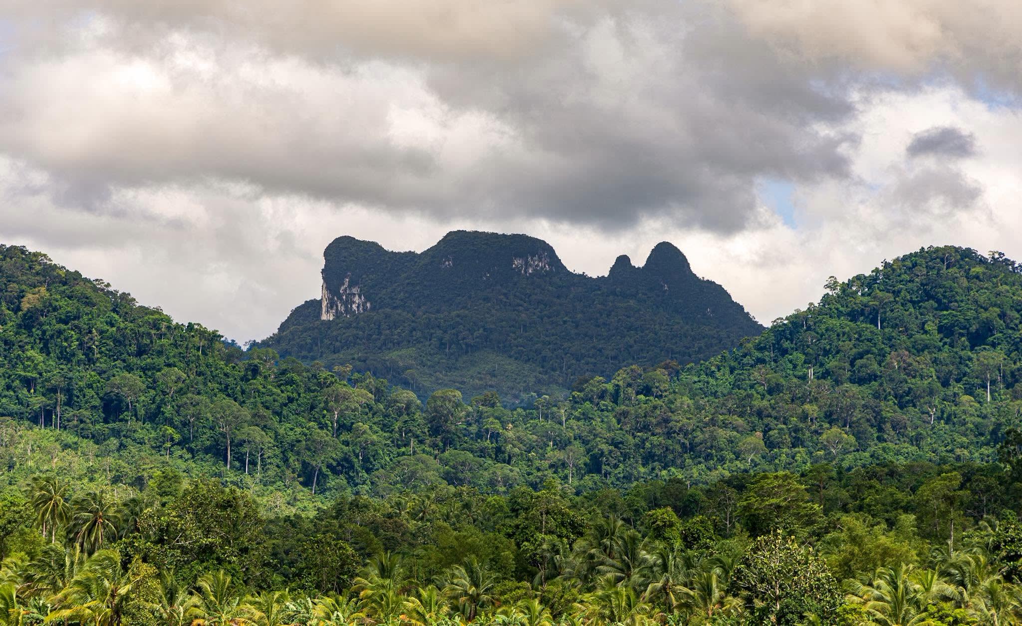
Mount Mantalingahan

Shared publicly on Facebook · Rizal, Palawan public posts

Mount Mantalingahan

The highest point on Palawan, 2,085 m, inside a protected landscape of 120,457 hectares.

Tarumpitao Point

Shared publicly on Facebook · Rizal, Palawan public posts

Tarumpitao Point

Where the town began, and its favourite place to watch the sun go down.

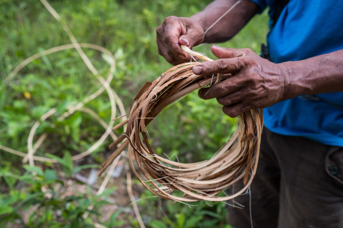
Taaw’t Bato weaving

P1898 · CC BY 4.0

Taaw’t Bato weaving

Baskets and crafts made by weavers of Punta Baja and Candawaga.

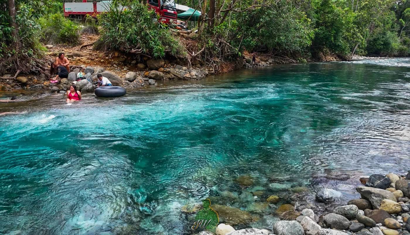
River tubing

Shared publicly on Facebook · Rizal, Palawan public posts

River tubing

Inner tubes on a fast, clear turquoise river.

The coast

Shared publicly on Facebook · Rizal, Palawan public posts

The coast

Coconut palms running down to long, quiet beaches.

Rice and the mountains

Shared publicly on Facebook · Rizal, Palawan public posts

Rice and the mountains

Rice fields at the foot of the forest and the range.

Rizal6 stops
The fiesta
Founding anniversary, 17–21 April; town fiesta, 13 May.
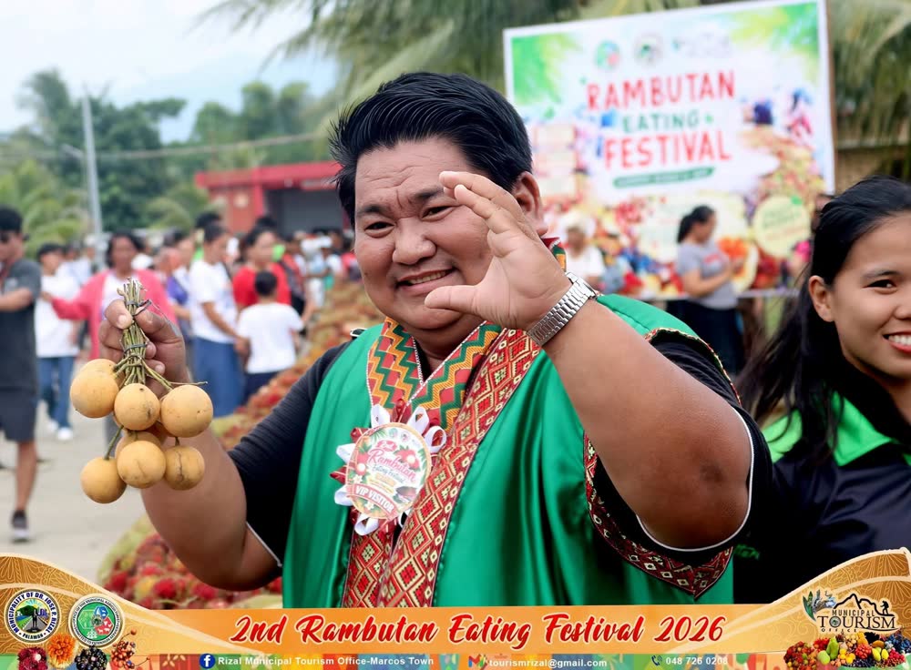
Rambutan Eating Festival

Shared publicly on Facebook · Rizal, Palawan public posts

Rambutan season

Rambutan Eating Festival

A festival of the town’s rambutan harvest, held for the second time in 2026.

The <em>Far South.</em>
Leg seven

The Far South.

Leg seven

The Far South.

Market towns, the mainland’s last cape, and islands facing Borneo.

Mario von Rotz · Unsplash License

Pulot Center, Sofronio Española

Jared Rice · Unsplash License

Landfall 20 / 24Bayan ng Sofronio Española8.96° N, 117.99° E

Palawan’s newest town, a farming coast on the Sulu Sea.

Created
1990s, RA 7679
Land area
473.91 km²
Barangays
9
People, 2024
39,371
Class
1st class

The story

Sofronio Española was formed from nine barangays of Brooke’s Point and named after a former Palawan congressman. Its Barangay Abo-Abo is one of the earliest Tausug settlements on Palawan.

Best of Sofronio Española

2 places to stop.

Pulot Center

Cris Tagupa · Unsplash License

Pulot Center

The town seat, its plaza and the Sto. Niño parish, where the January fiesta fills the nights.

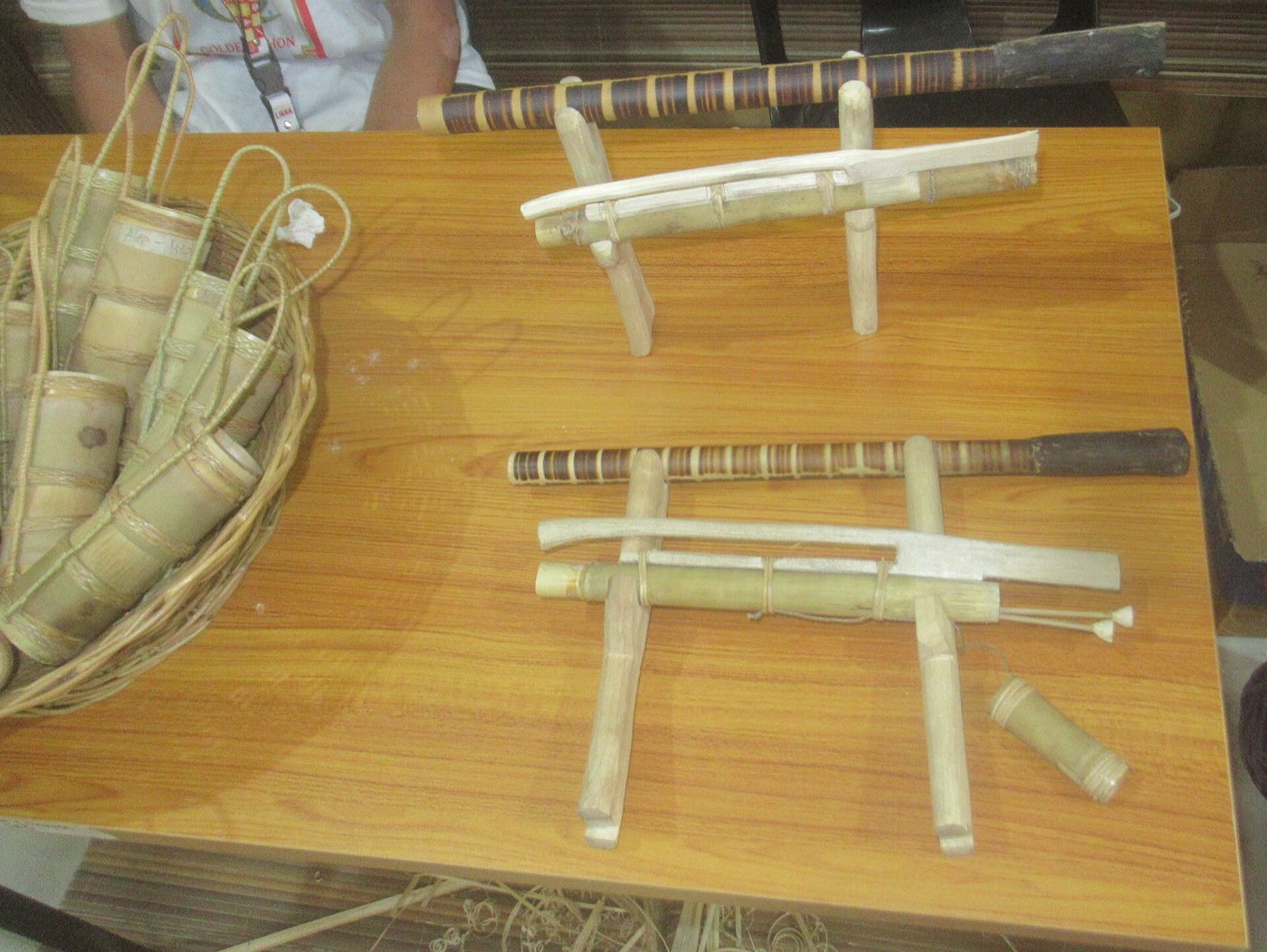
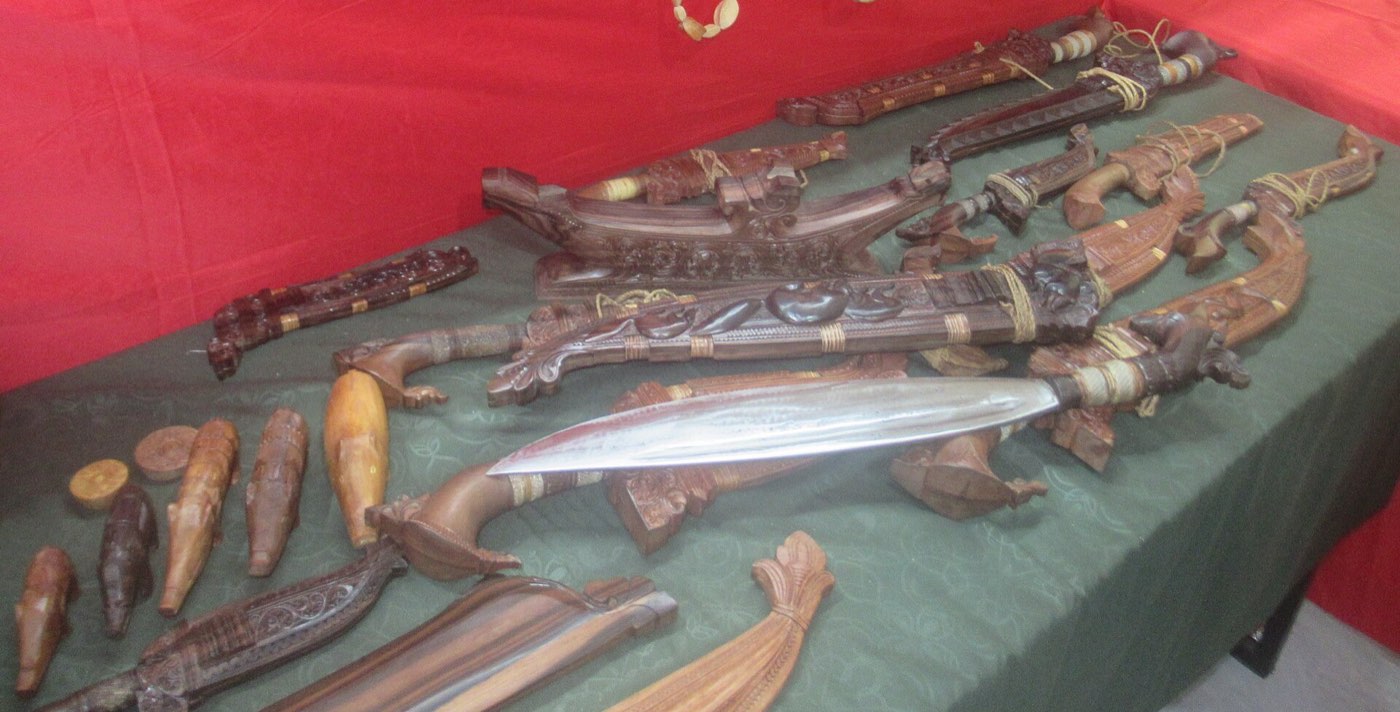
Pala’wan carving

P1898 · CC BY 4.0

Pala’wan carving

Hand-carved blades by a Pala’wan carver of Sofronio Española.

Sofronio Española2 stops
The fiesta
Sto. Niño Fiesta, mid-January; Pista ng Dalampasigan, 24 June, a coastal clean-up and mangrove planting.
Known for
Palm oil, and woven indigenous-fibre products.
Next landfallBrooke’s PointAhead: Mainit Falls and Hot Spring · Sabsaban Falls27 km from Sofronio Española, as the crow flies
Brooke’s Point under the Mantalingahan range

Cris Tagupa · Unsplash License

Landfall 21 / 24Bayan ng Brooke’s Point8.77° N, 117.84° E

The south’s market and port town, watered by mountain rivers.

Created
1949, EO 232
Land area
1,303.40 km²
Barangays
18
People, 2024
76,715
Class
1st class

The story

Brooke’s Point, first called Bonbon, is an agricultural centre with the Mantalingahan range for a skyline.

In 1934 a giant pearl, once thought the largest in the world, was found in its waters.

Best of Brooke’s Point

3 places to stop.

Mainit Falls and Hot Spring

Johann Ocampo · Unsplash License

Mainit Falls and Hot Spring

A river that drops about 50 m into a pool, with hot springs a few metres away.

Sabsaban Falls

Cris Tagupa · Unsplash License

Sabsaban Falls

A calm fall in the Pala’wan ancestral domain, kept by a community that has pledged sustainable tourism.

About 30 minutes from town
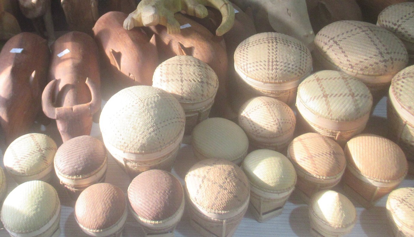
Pala’wan baskets

P1898 · CC BY 4.0

Pala’wan baskets

Tingkep baskets woven by Pala’wan weavers.

Brooke’s Point3 stops
The fiesta
Kaniyog’n Festival, 16–22 March, the town fiesta and a showcase of coconut products.
Known for
Coconut, its official town product.
Next landfallBatarazaAhead: Ursula Island · Lalatuan Falls25 km from Brooke’s Point, as the crow flies
Bataraza, the southern tip of mainland Palawan

Michael Maga-ao · Unsplash License

Landfall 22 / 24Bayan ng Bataraza8.67° N, 117.63° E

The southern tip of the mainland: Molbog and Pala’wan homeland, pineapple fields, Cape Buliluyan.

Created
1961, RA 3425
Land area
726.20 km²
Barangays
22
People, 2024
87,384
Class
1st class

The story

Bataraza is named after Datu Bataraza Narrazid and is the second most populous town in the province. Boats for Balabac leave from Buliluyan.

Best of Bataraza

3 places to stop.

Ursula Island

Cris Tagupa · Unsplash License

Ursula Island

An island bird sanctuary.
About two hours by boat from the Bataraza pier
Lalatuan Falls

Rommel Paras · Unsplash License

Lalatuan Falls

A tall waterfall in the south of the town.

The pineapple landmark

Michael Maga-ao · Unsplash License

The pineapple landmark

A three-storey pineapple of metal and glass at the trade centre in Barangay Bulalacao.

Bataraza3 stops
The fiesta
Foundation anniversary, 22–29 January.
Known for
Woven indigenous-fibre bags, baskets and table runners; farming, fishing and nickel mining.
Next landfallBalabacAhead: Onuk Island · BenLen Sandbar98 km from Bataraza, as the crow flies
Sunset over the Balabac Strait

Mario von Rotz · Unsplash License

Landfall 23 / 24Bayan ng Balabac7.99° N, 117.06° E

About 36 islands at the very end of Palawan, facing Borneo across the strait.

Created
1957
Land area
581.60 km²
Barangays
20
People, 2024
42,662
Class
1st class

The story

Balabac is the homeland of the Molbog. The pilandok, the Philippine mouse-deer, lives here and on nearby Bugsuk and Ramos, nowhere else.

Its sandbars include the third and fourth longest in the Philippines.

Best of Balabac

5 places to stop.

Onuk Island

Hanna Zapant · CC BY-SA 4.0

Onuk Island

Turquoise shallows and coral, privately owned; visits need arranging ahead.

BenLen Sandbar

Ervin Malicdem · CC BY-SA 4.0

BenLen Sandbar

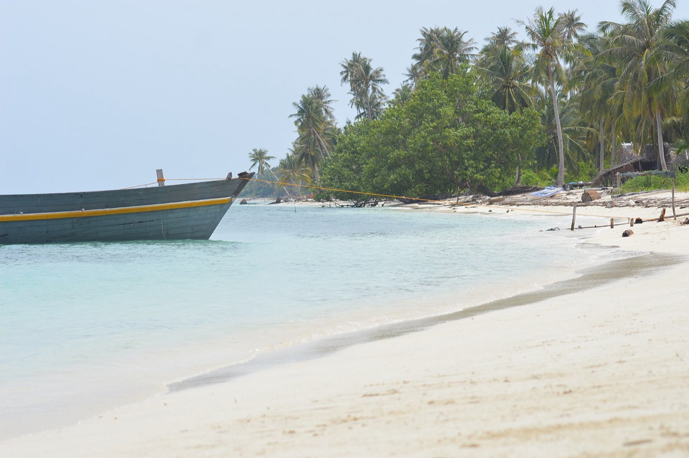
A wide sandbar on the shallow south side of Candaraman Island.

Candaraman Island

DarwinNaredo · CC BY-SA 4.0

Candaraman Island

Clear water and an old boat resting in the shallows.

The island beaches

Cris Tagupa · Unsplash License

The island beaches

White sand and leaning palms on the outer islands.

Cape Melville Lighthouse

Cris Tagupa · Unsplash License

Cape Melville Lighthouse

A Spanish-era first-order light, lit in 1892, guarding the Balabac Strait.

Balabac5 stops
Known for
Coconut, its official town product, and the Molbog’s most prized crop.
Five Hundred Kilometres <em>West.</em>
Leg eight

Five Hundred Kilometres West.

Leg eight

Five Hundred Kilometres West.

The last landfall, across the open sea.

Cris Tagupa · Unsplash License

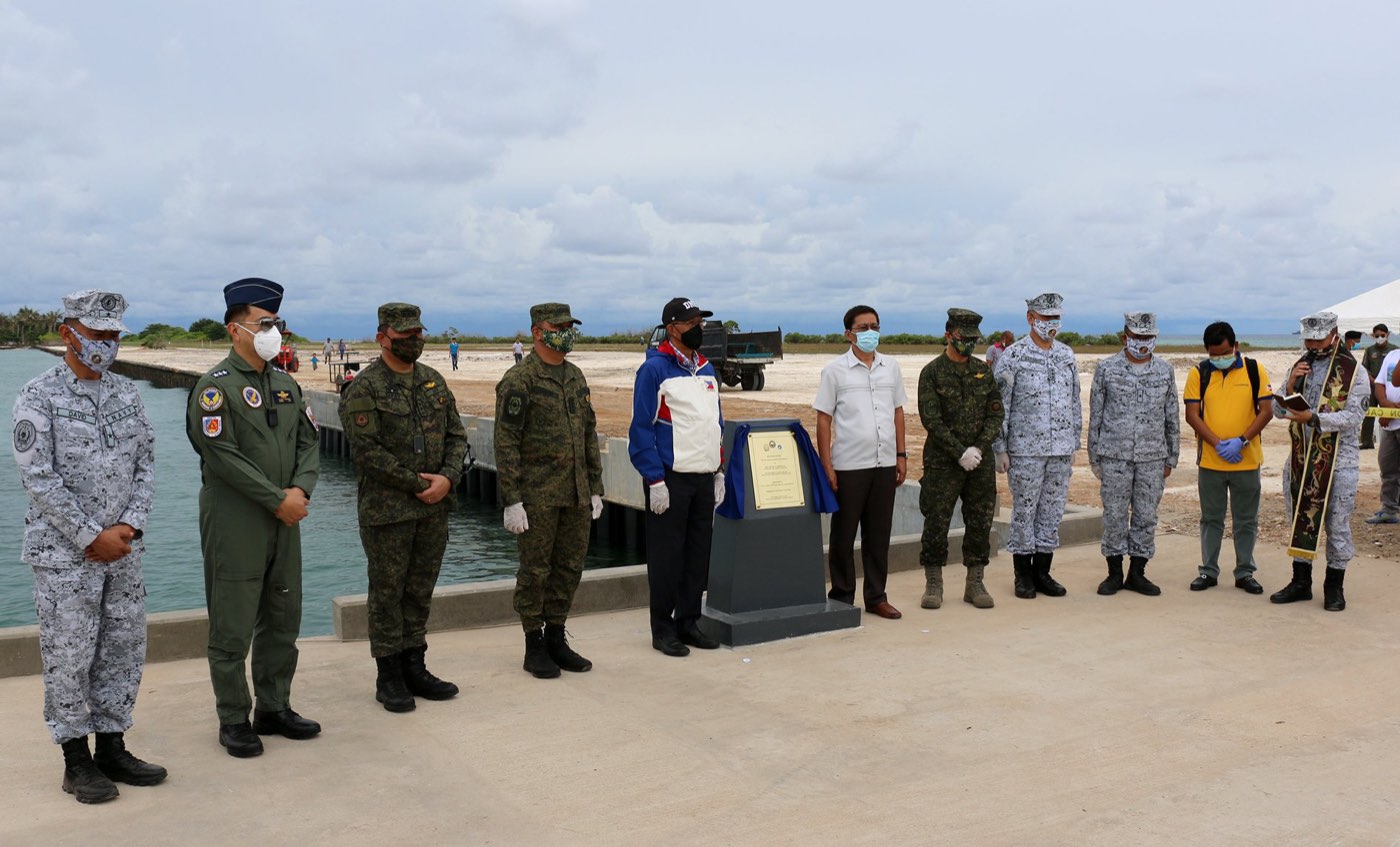
The sheltered port under construction on Pag-asa Island

Cris Tagupa · Unsplash License

Landfall 24 / 24Bayan ng Kalayaan11.05° N, 114.29° E

One barangay on Pag-asa Island, about 500 km west of Puerto Princesa.

Created
1978, PD 1596
Land area
290 km²
Barangays
1
People, 2024
406
Class
4th class

The story

Kalayaan is the smallest municipality in the Philippines by population. Its seat, Pag-asa Island, has been open to civilian settlement since 2002, with a school, a clinic, an airstrip and a coast guard station.

The Spratly Islands are claimed in whole or in part by the Philippines, China, Taiwan, Vietnam and Malaysia.

Best of Kalayaan

2 places to stop.

Pag-asa Island

Department of National Defense of the Philippines · Public domain

Pag-asa Island

Thirty-seven hectares, the second-largest natural island in the Spratlys and the town’s seat.

Balik-Kalayaan

Senator Kiko Pangilinan · Public domain

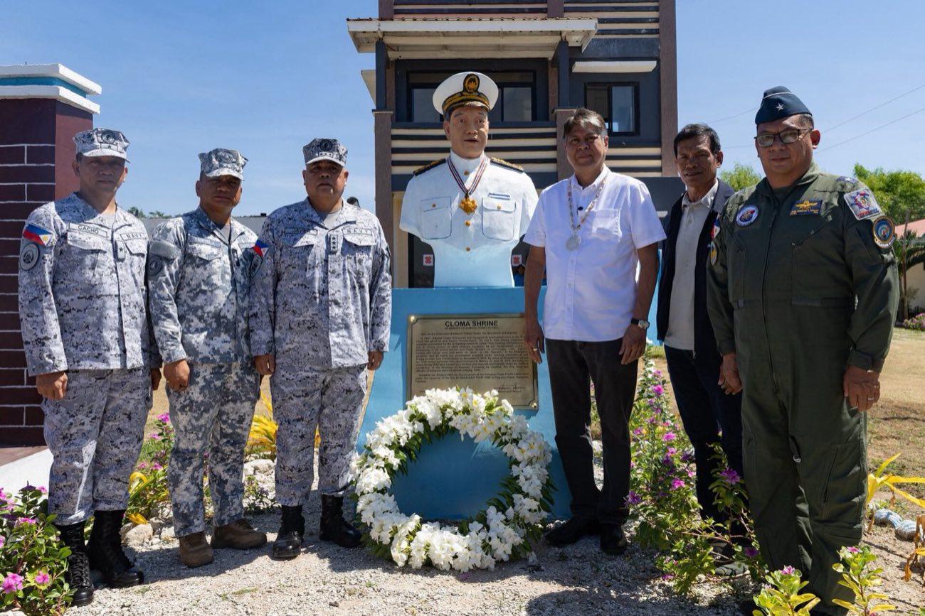
Balik-Kalayaan

Since April 2026, small patriotic tours have carried visitors out to Pag-asa.

Kalayaan2 stops
The fiesta
Founding anniversary, 11 June.
Act VI · Seasons

A year of gathering.

In June the whole province meets in Puerto Princesa for Baragatan sa Palawan, from the Cuyonon bagat, “to meet”. It marks the founding of the civil government on 23 June 1902: a trade fair with a booth for every town, a float parade, and the Saraotan sa Dalan street dance.

The west coast has a pronounced dry season from November to April; the east is milder. Typhoons are rarer here than in the east of the country, but Haiyan (2013) and Odette (2021) both made landfall.

Jan

  • Sto. Niño FiestaSofronio Española, mid-January

Feb

    Mar

    • Balayong FestivalPuerto Princesa, 4 March
    • Town fiestaNarra, 19 March

    Apr

    • San Vicente FerrerSan Vicente, 1–5 April

    May

    • PasinggatanTaytay, dates vary
    • Foundation daysRoxas and Quezon, 15 May

    Jun

    • Baragatan sa PalawanThe province, June
    • KalabukayDumaran, 14–18 June
    • MalagnangSan Vicente, 17–21 June
    • RakudanAborlan, June

    Jul

    • Disaster Resilience MonthProvince-wide

    Aug

    • Saint AugustineCoron, 28 August
    • PurongitanCuyo, 28 August

    Sep

      Oct

      • Palay FestivalNarra, October

      Nov

        Dec

          Drier months, west coastWetter months
          The Provincial Capitol

          Serbisyong wasto, Palaweño sigurado.

          Services, offices and hotlines of the Provincial Government. Concept only: for transactions, use palawan.gov.ph.

          Weather and sea, now

          Before you sail

          Air
          —
          Sky
          —
          Wind
          —
          Waves
          —

          Pick a town.

          Provincial Capitol

          Office hours

          —

          Assumed Monday to Friday, 8:00 to 5:00, the standard government schedule. The province doesn’t publish its hours; please confirm.

          Office finder

          Who handles what

            Town finder

            All 24 landfalls

              Hotlines

              In an emergency

              As published on palawan.gov.ph. Each town also has an MDRRMO line.

              The building

              Rizal Avenue

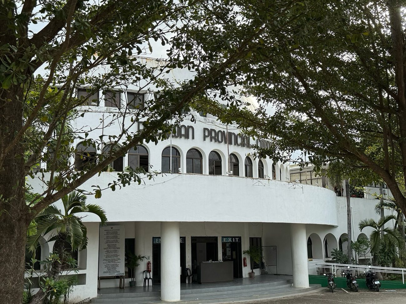
              The Palawan Provincial Capitol in Puerto Princesa

              Filipinayzd · CC BY-SA 4.0

              Address from third-party listings, unconfirmed. The Capitol is being renovated to preserve its history.

              Governor Amy Roa Alvarez

              Governor’s corner

              Hon. Amy Roa Alvarez.

              Governor of Palawan since 30 June 2025, with Vice Governor Leoncio N. Ola presiding over the Sangguniang Panlalawigan.

              This corner is where the Governor’s messages and programmes would live. In this concept it holds only what is on the public record.

              Executive branch ↗

              News from the province

              ASF containment in Agutaya

              The Provincial ASF Task Force, led by the Provincial Veterinary Office, culled 344 pigs in Barangay Concepcion after African swine fever was confirmed.

              Baragatan sa Palawan 2026

              “Makukulay na Yaman, Iisang Palawan”: the province’s 124th founding anniversary.

              Sunset over Honda Bay from Dos Palmas

              Honda Bay, Puerto Princesa

              The last light.

              Epilogue

              Balik.

              Twenty-four landfalls, and still more islands than anyone has counted. Come back.

              Begin again ↑

              Jarno Colijn · Unsplash License

              Before you set sail

              An unofficial concept.

              This is a design study by Vivito IT Solutions. It is not the official website of the Province of Palawan, and it is not affiliated with or endorsed by the provincial government, its towns or the City of Puerto Princesa.

              It is here to show what is possible. Pictures and words may not always line up: many photos are placed for mood and may not show the place or event named beside them. With more resources, or our own photographs from across the province, they would.

              Photographs are credited at the foot of the page. Owners can ask to be credited differently or to have an image removed.

              Official website ↗
              Website concept by Vivito ↗