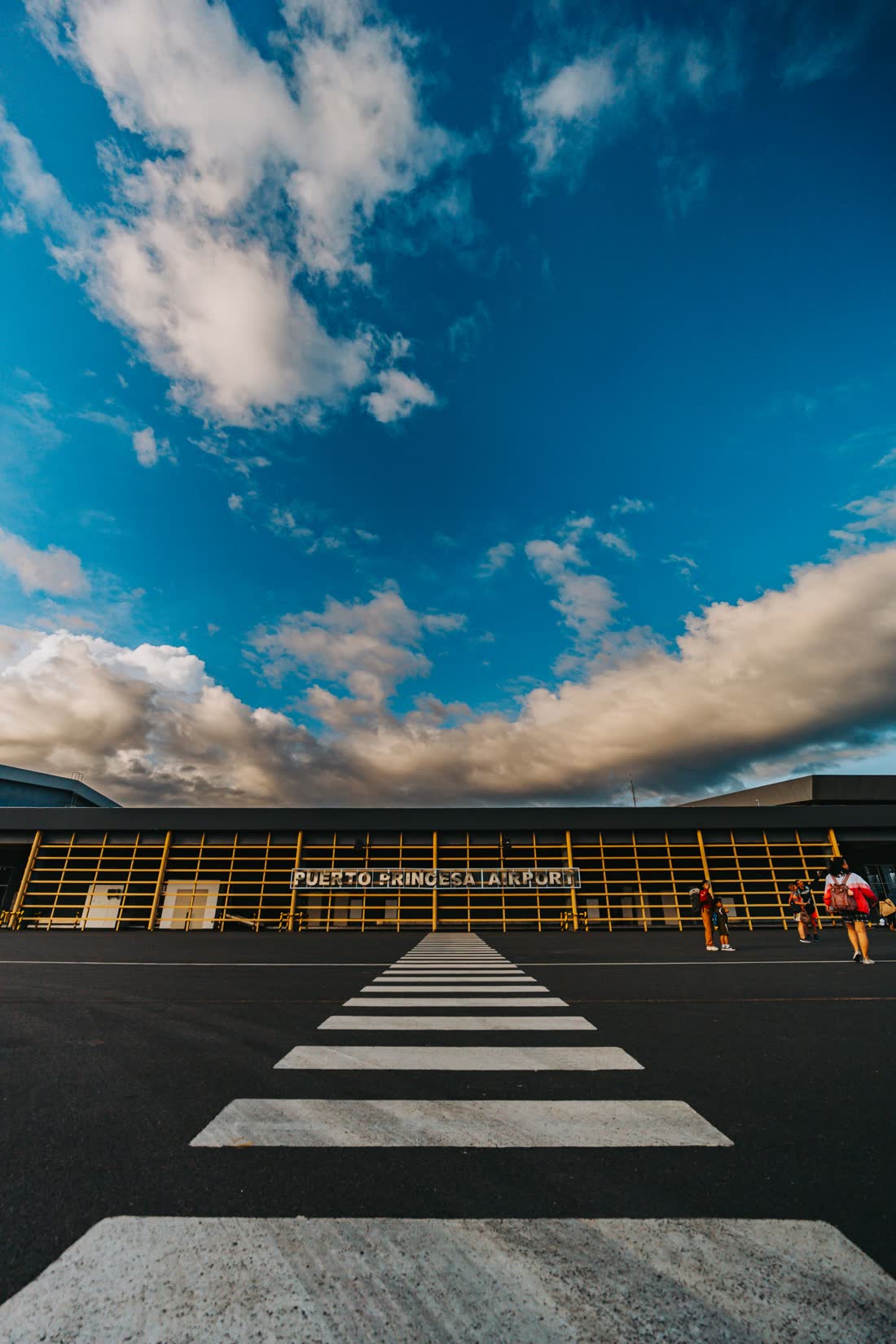
By air
Daily flights land at Puerto Princesa International Airport (PPS), ten minutes from the centre.
- Manila
- 1 hr 15 min
- Cebu
- 1 hr 30 min
- Davao
- 1 hr 20 min
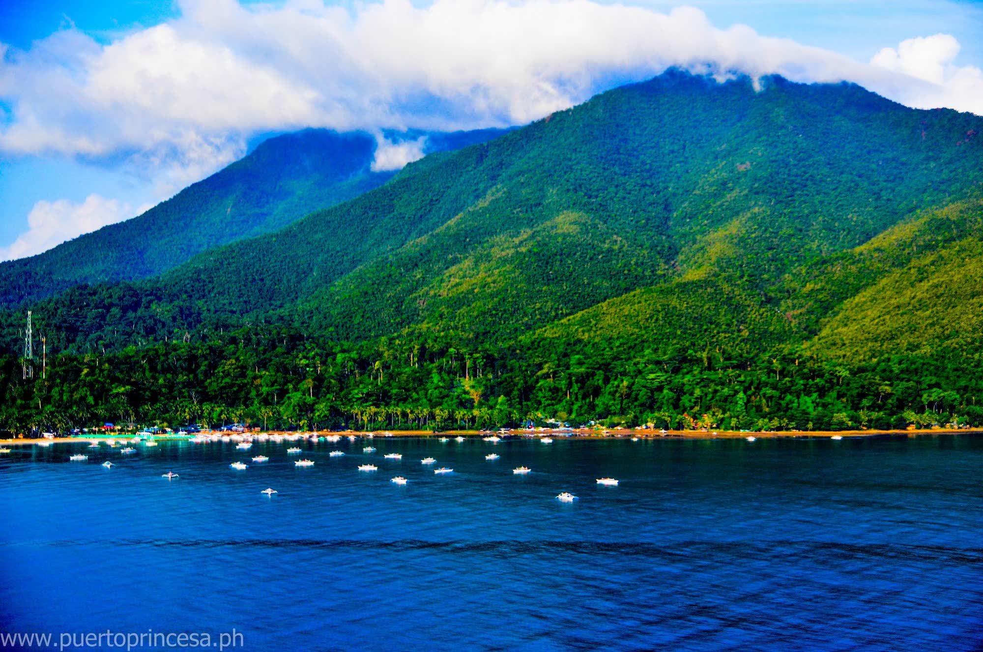
A city wrapped in *forest,* edged by two seas, and carved underground by a *river* that runs for 8.2 kilometres through the dark.
Puerto Princesa is the country's largest city by land, and most of it is still green. It stretches 106 kilometres across the middle of Palawan, so narrow at Bahile that only eight and a half kilometres separate the east coast from the west.
A third of the people live in the city proper, on the shores of Puerto Princesa Bay, under huge old trees. The rest live in 66 barangays of farms, fishing villages and forest, many of them a short drive from a beach.
Typhoons seldom reach the city. The seas are calmest from April to June, and the air averages a gentle 27 degrees.
It is a frontier town that grew up without losing its frontier. These pages show you where to start.
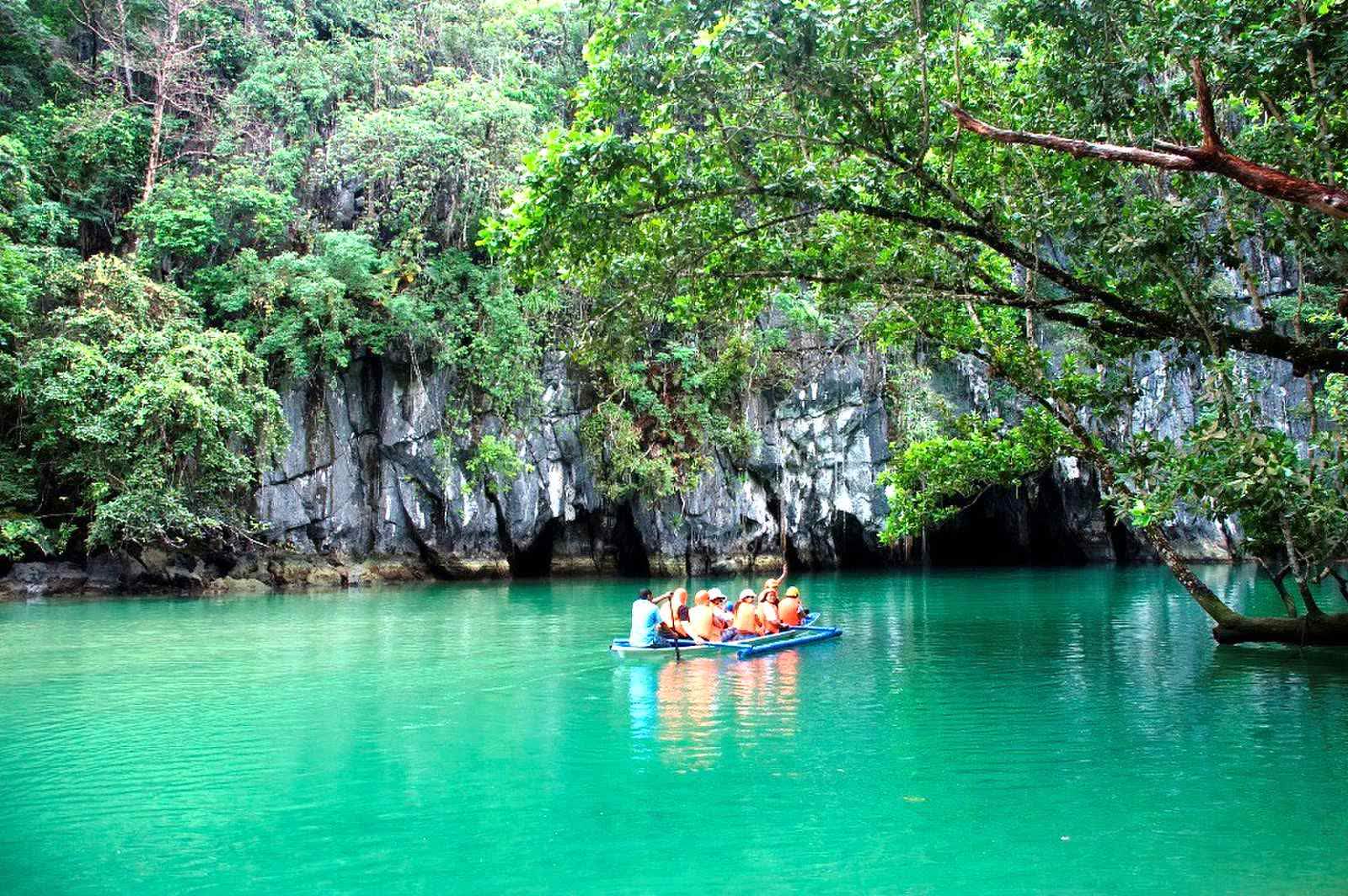
A World Heritage Site and one of the New7Wonders of Nature.

Climb to the summit above the paddies of Tagabinet, then zip back down.
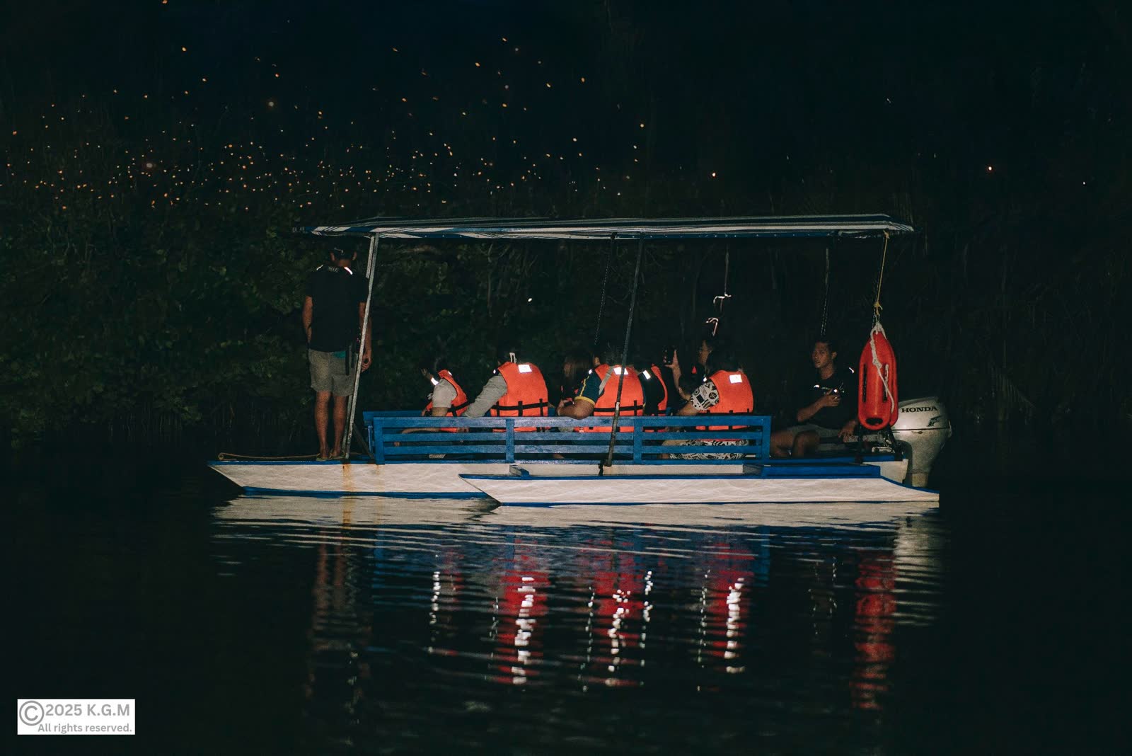
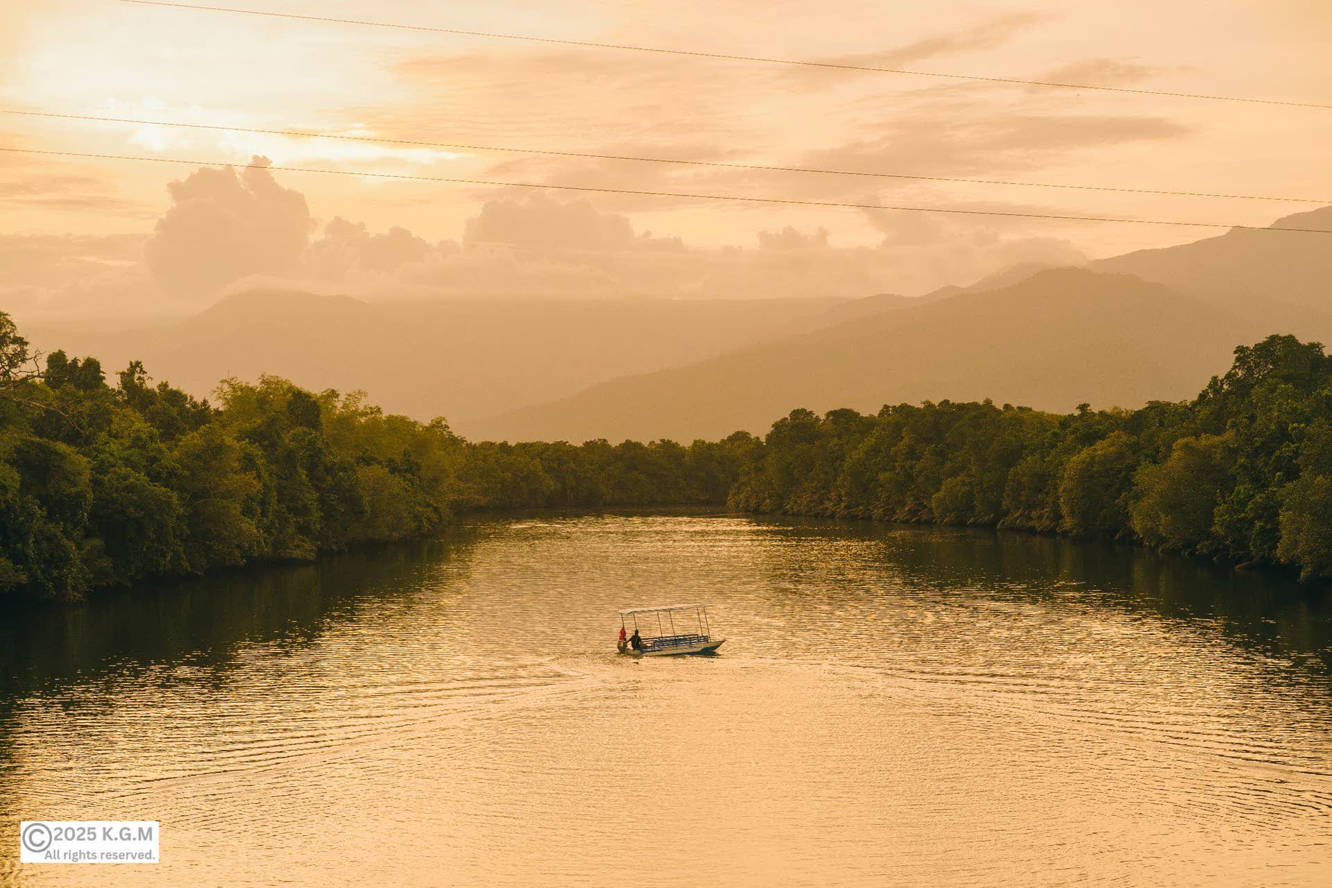
A community-run river tour at dusk, when the mangroves light up.
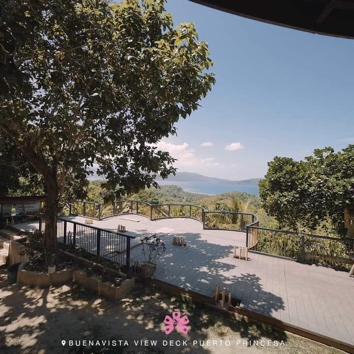
The panorama of Ulugan Bay, with lunch on the terrace.
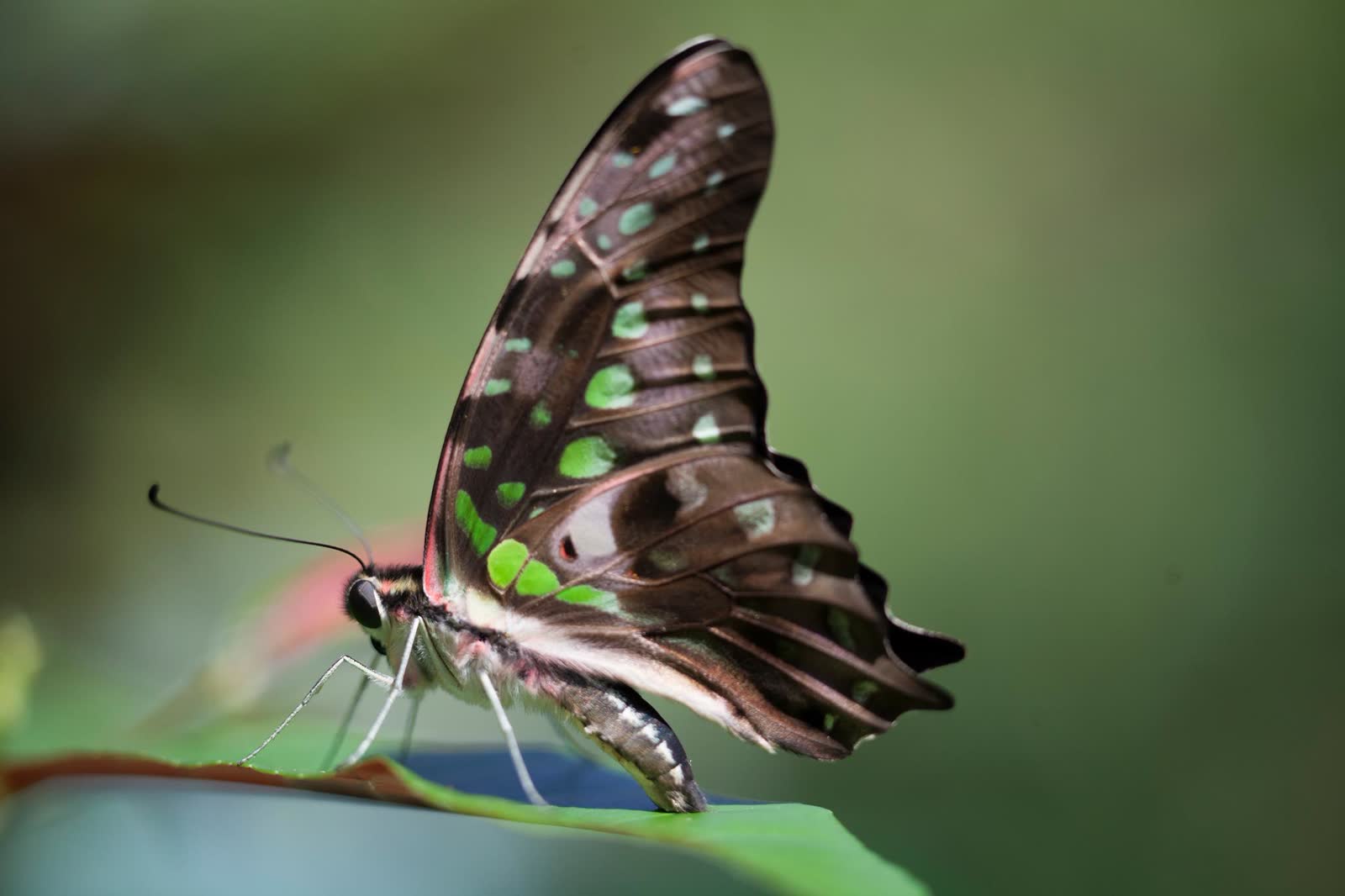
Free-flying Palawan butterflies, and the creatures that hunt them.
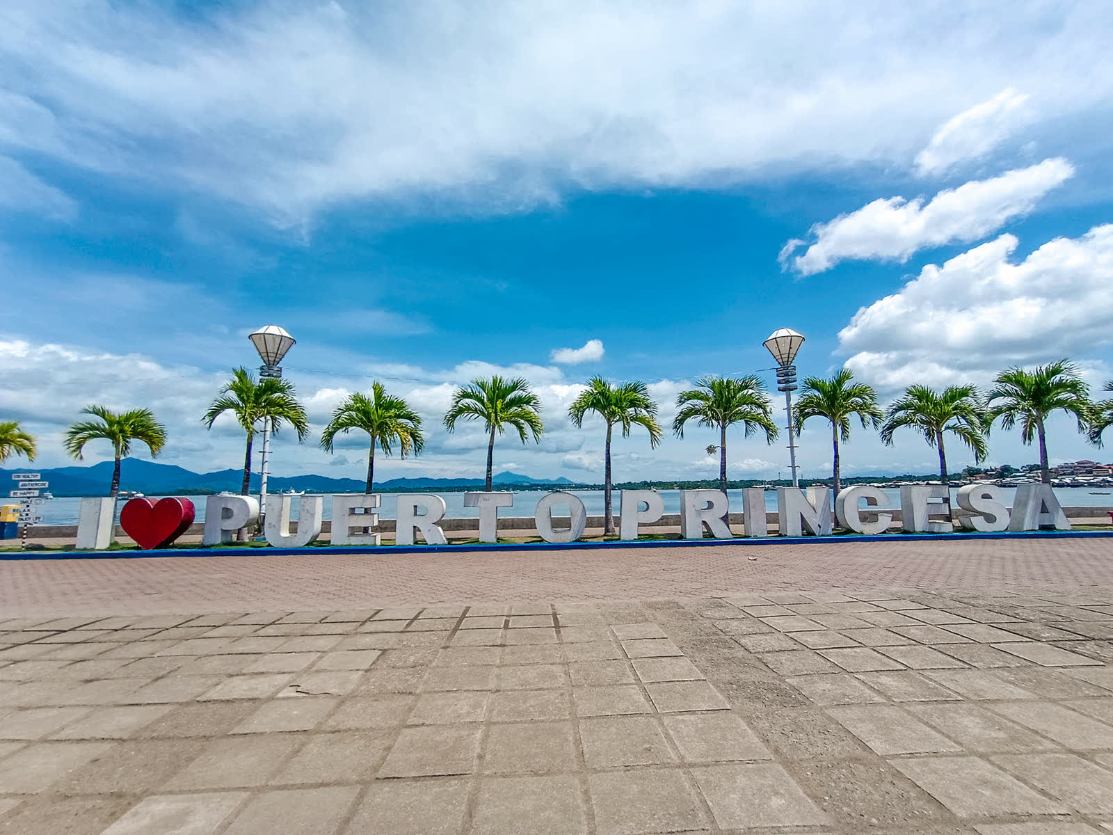
The seaside promenade, for sunsets, street food and a bike ride.
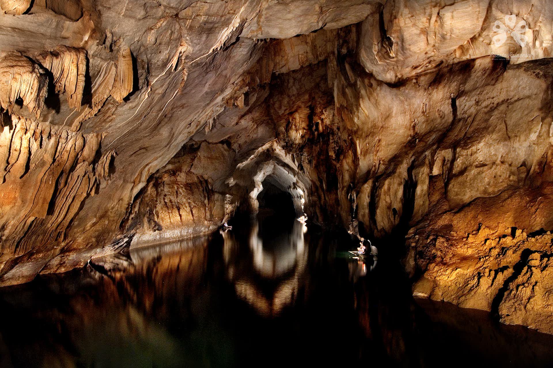
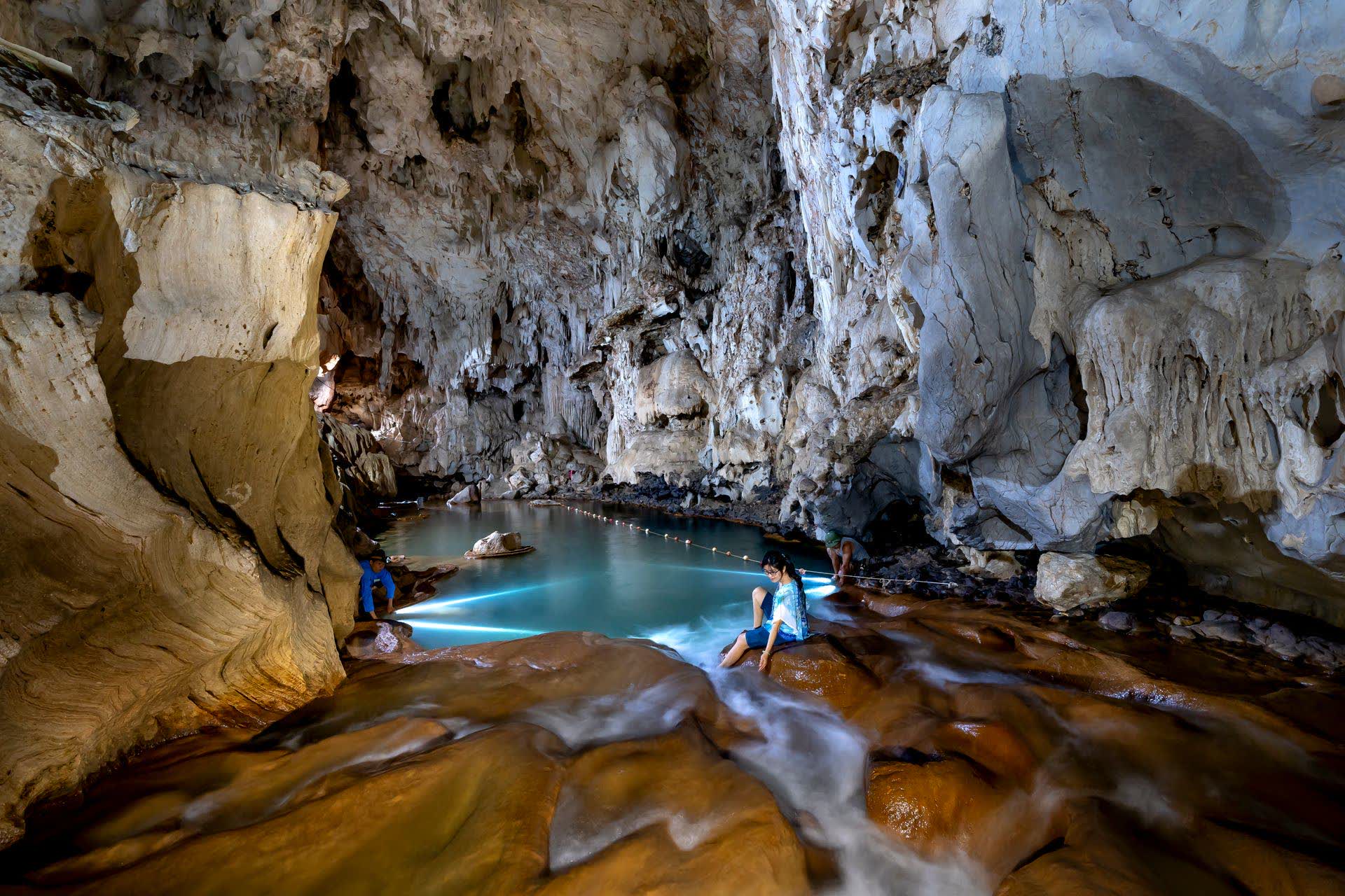
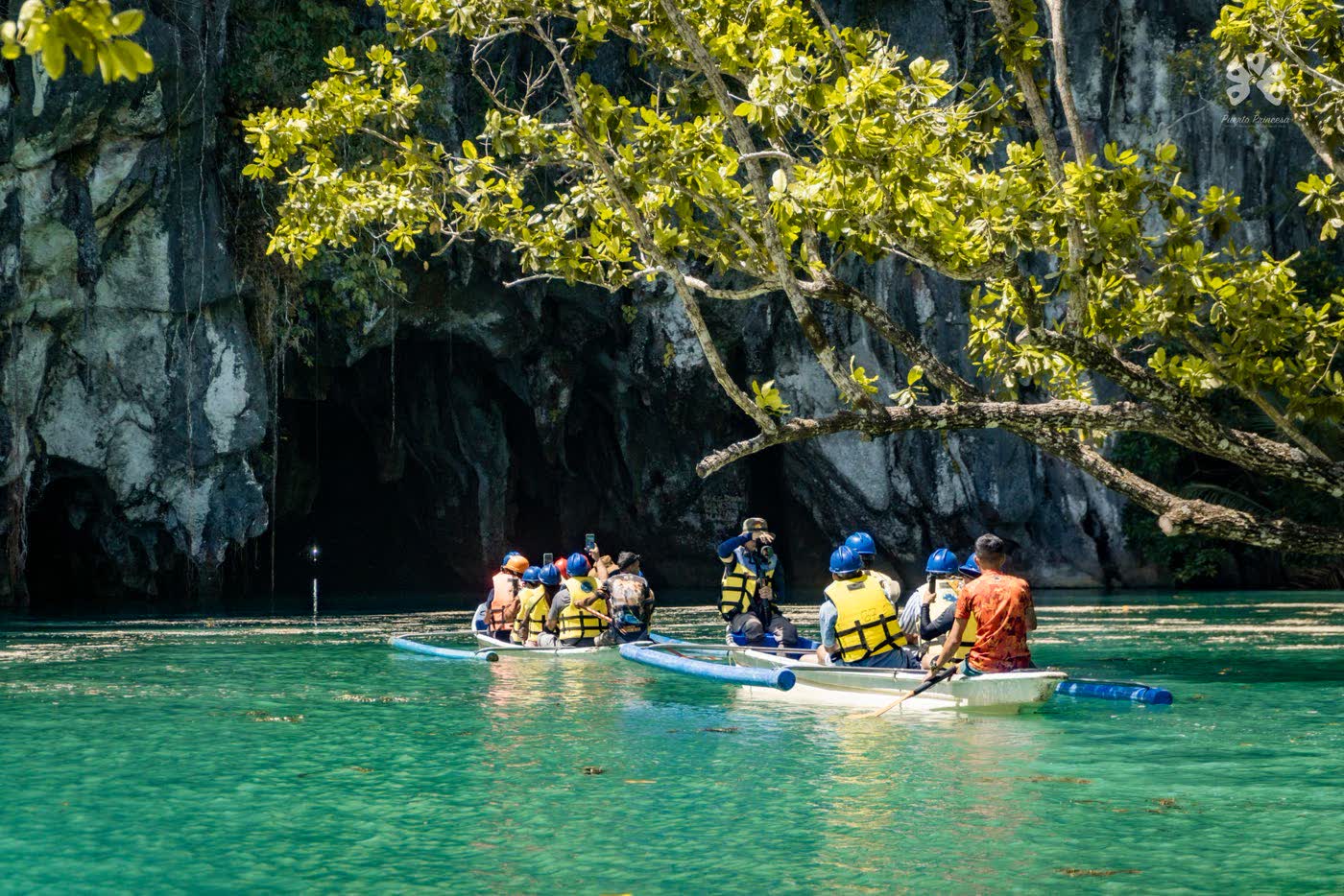
Glide by boat into the mountain, through chambers of limestone shaped over twenty million years. The light fades, and the river keeps going.
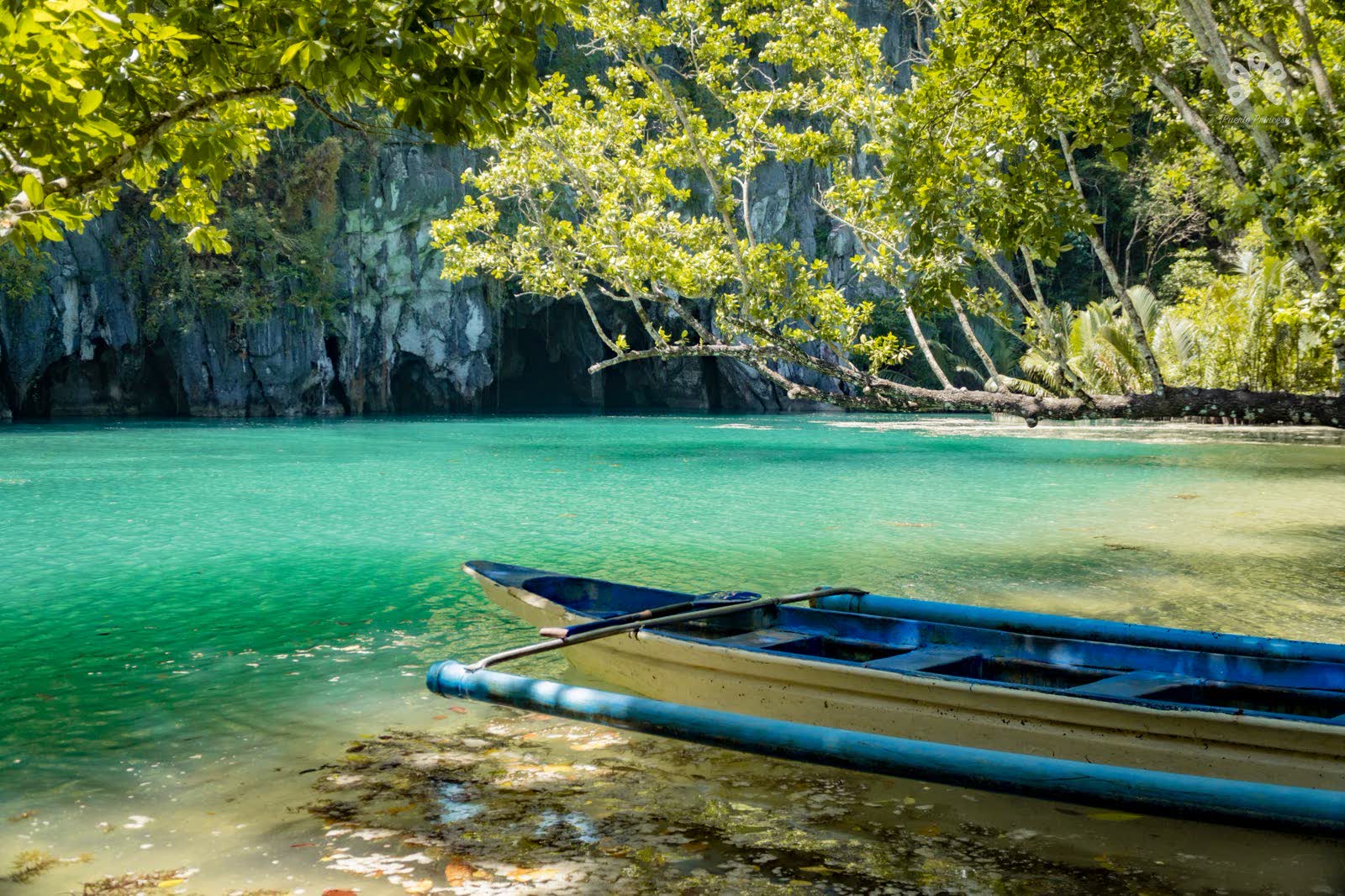
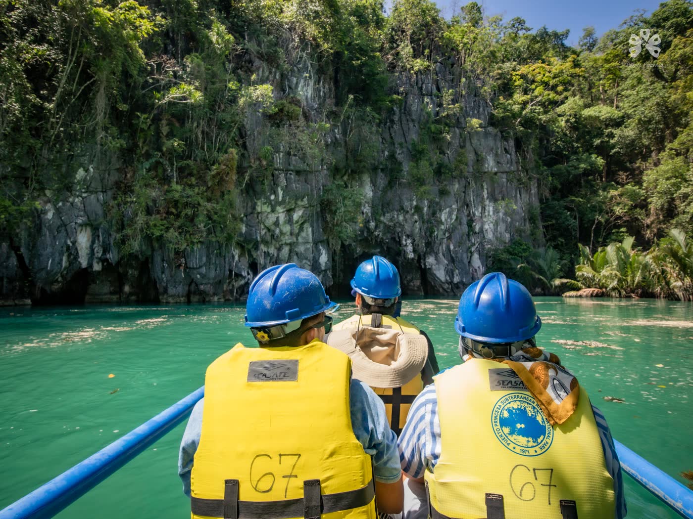
The trip begins in Sabang, with a short boat ride along the coast to a green lagoon at the foot of the cliffs. There, helmets on, you trade the sea for a paddle boat and slip into the dark.
Inside, the guide's lamp finds cathedral-high chambers, stalactites in the shapes of saints and fruit, and the swifts and bats that live in the roof. The river runs 8.2 kilometres before it meets the sea; 4.3 of them can be travelled by boat.
“Twenty million years of patience, and it still takes your breath away.”On the river, SabangBook a permit on the official site ↗
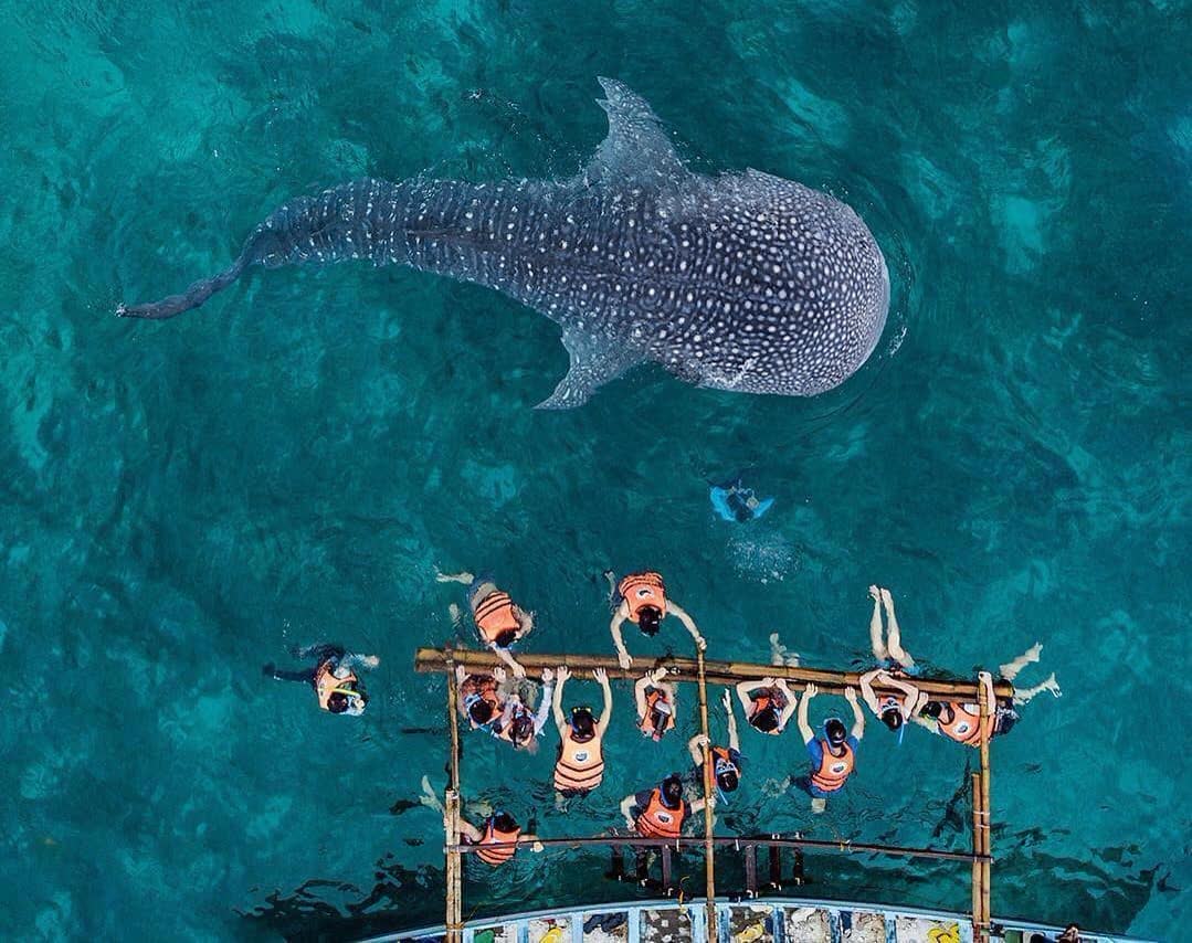
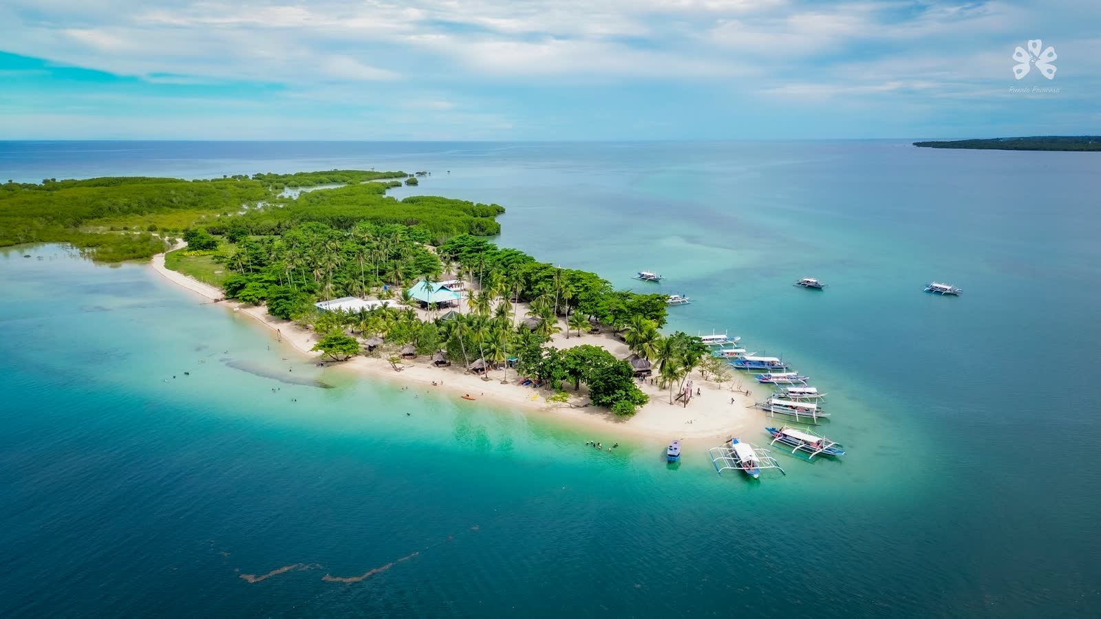
Honda Bay starts half an hour's drive from the city centre: a scatter of sandbars, reefs and mangrove islands, hopped by outrigger in a single day.
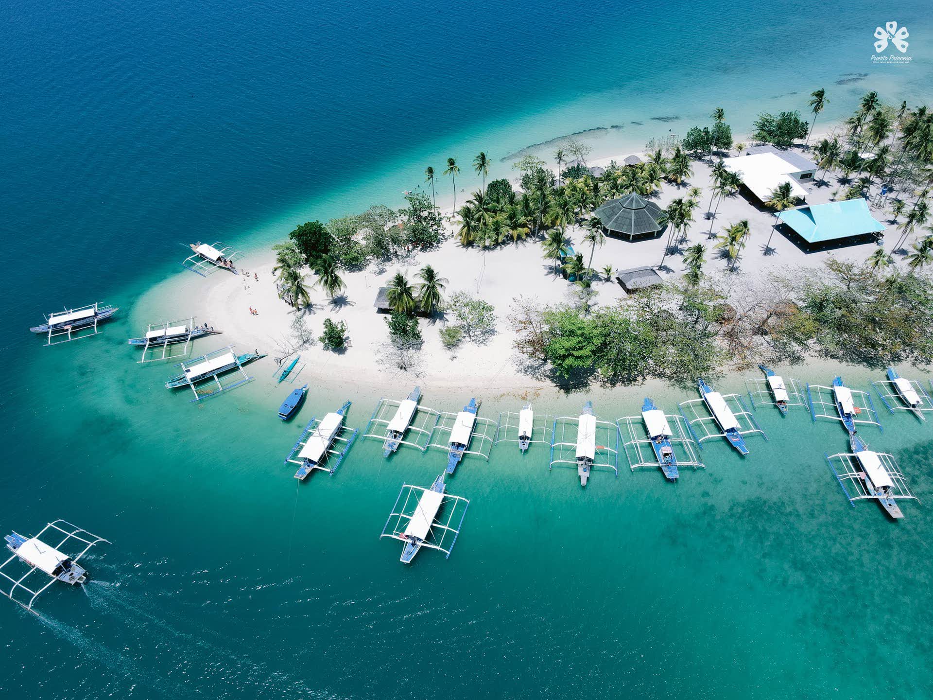
Boats leave from the wharf at Santa Lourdes in the morning. Most tours stop at three islands, with time to swim, snorkel and eat grilled fish under the palms before the afternoon wind comes up.
Bring reef-safe sunscreen, cash for the environmental fee, and patience for the tide: some of the bay's best sandbars only appear when the water goes out.
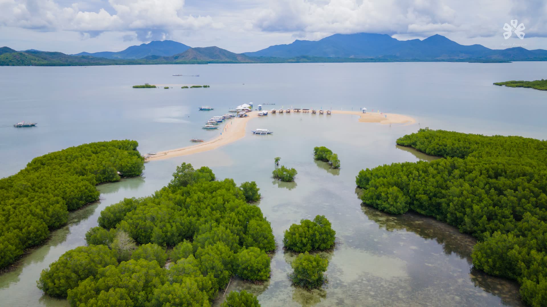
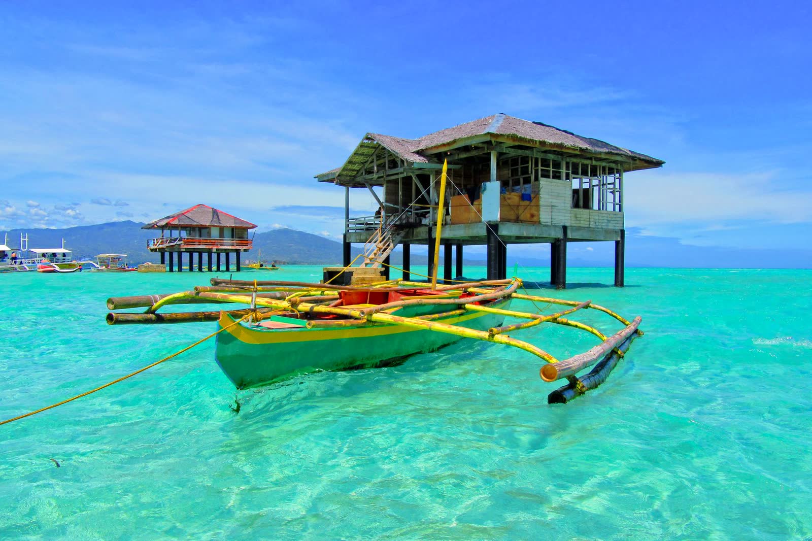
Its name comes from lulubog, lilitaw: it sinks and rises with the tide.
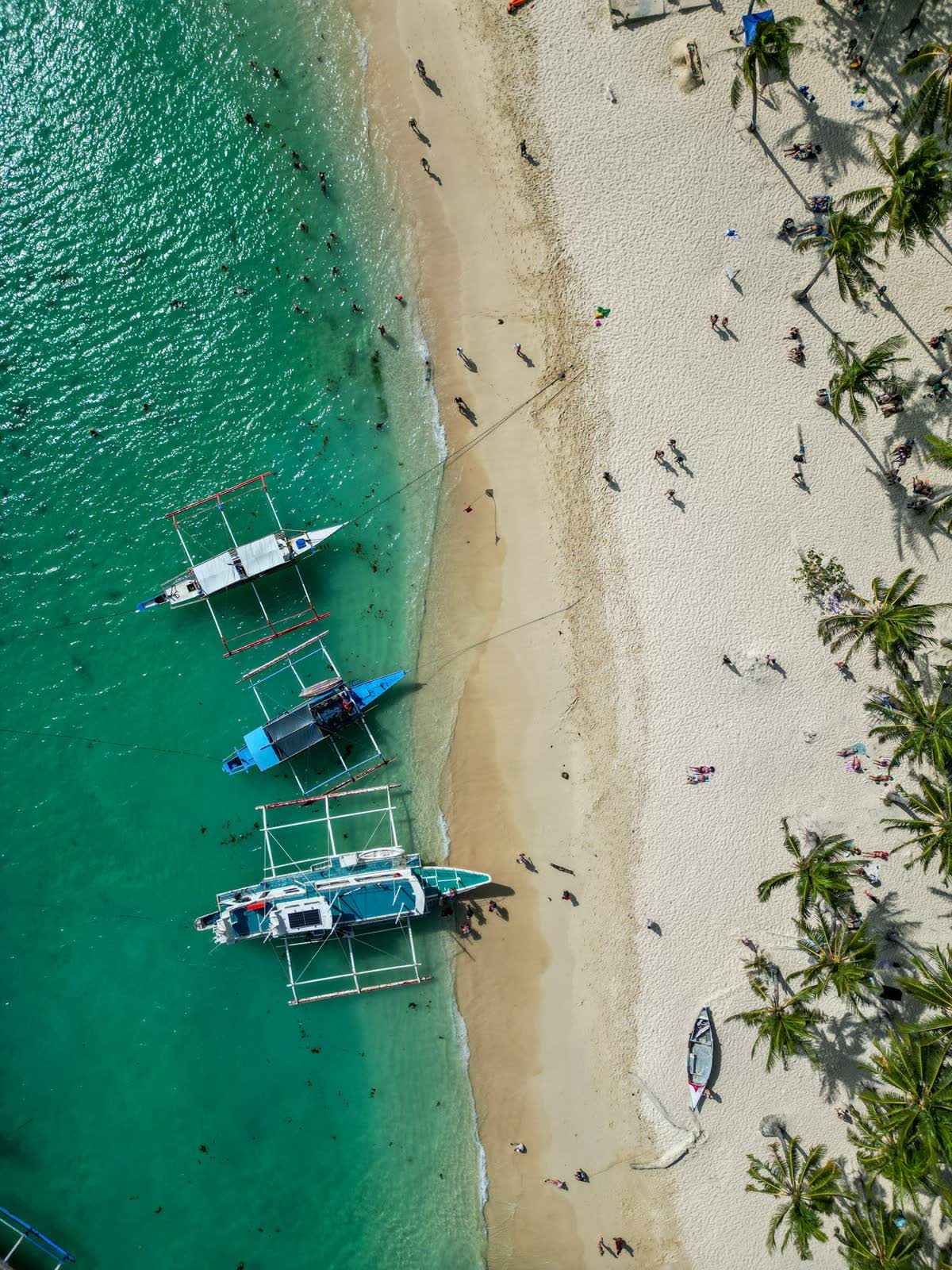
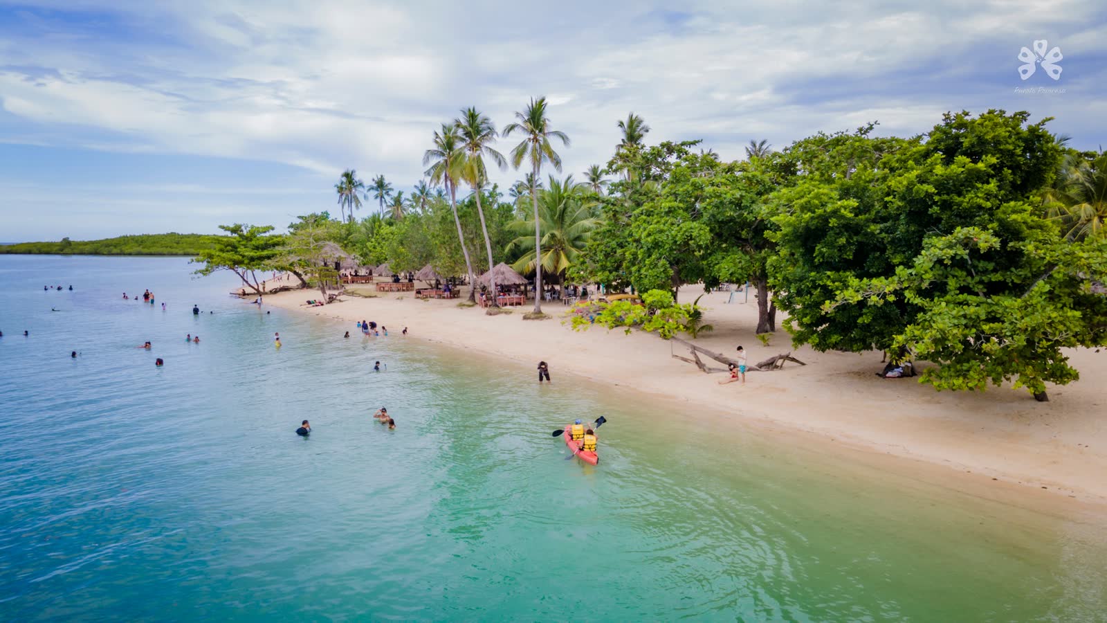
A palm-lined beach with huts, a bar and the bay's easiest swimming.
Snorkel over coral gardens from a floating platform.
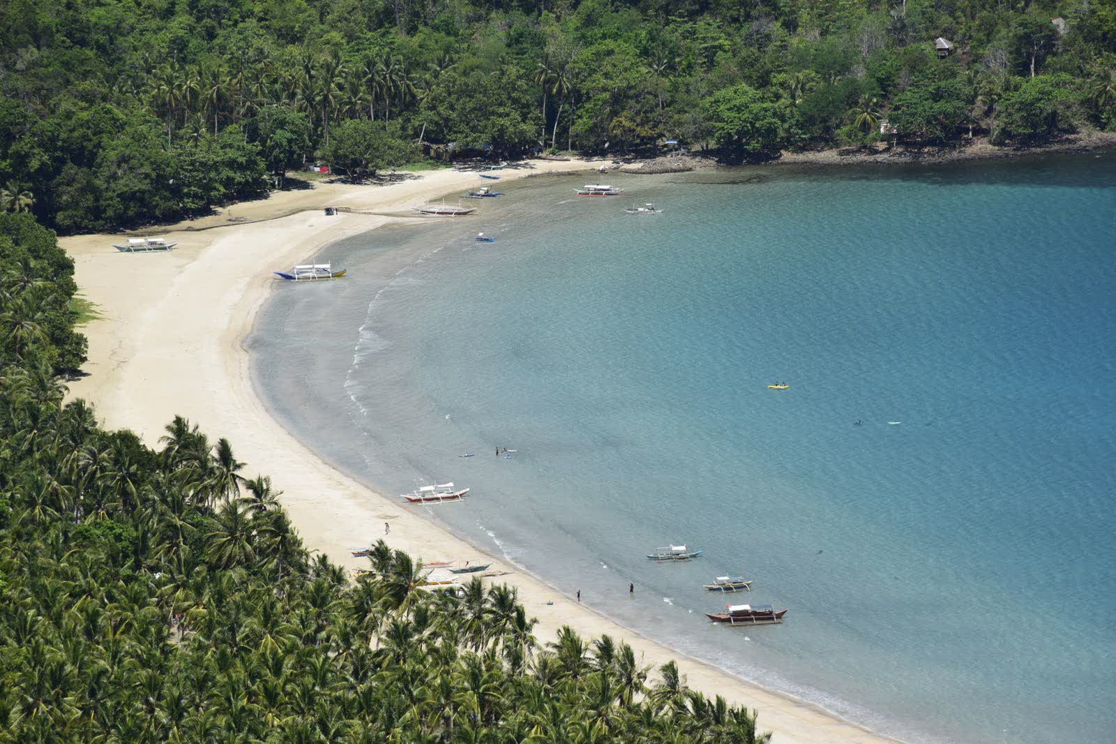
White sand and quiet water on the edge of the bay.
At dusk, thousands of fruit bats lift off into the sky.
Onward
From Puerto Princesa, the limestone islands of the north are a scenic drive or a short flight away.
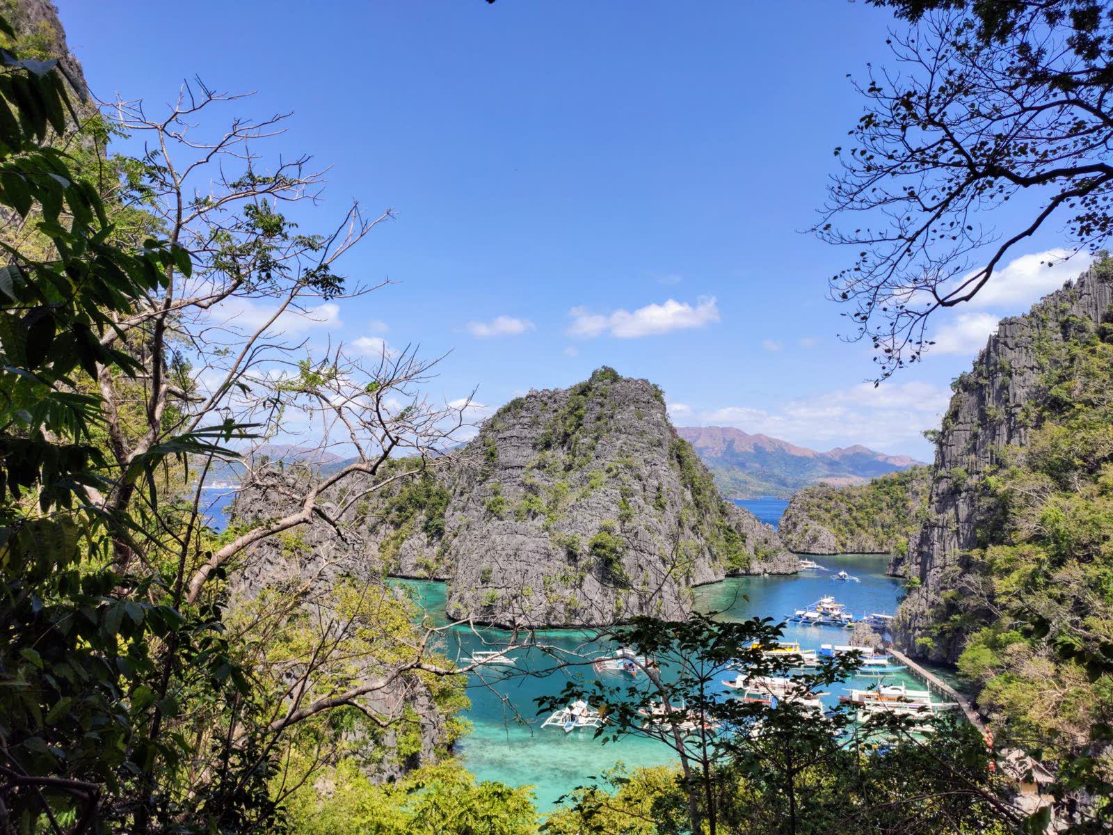
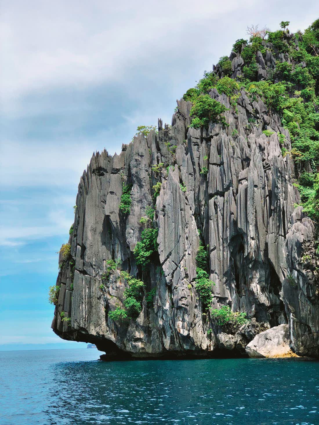
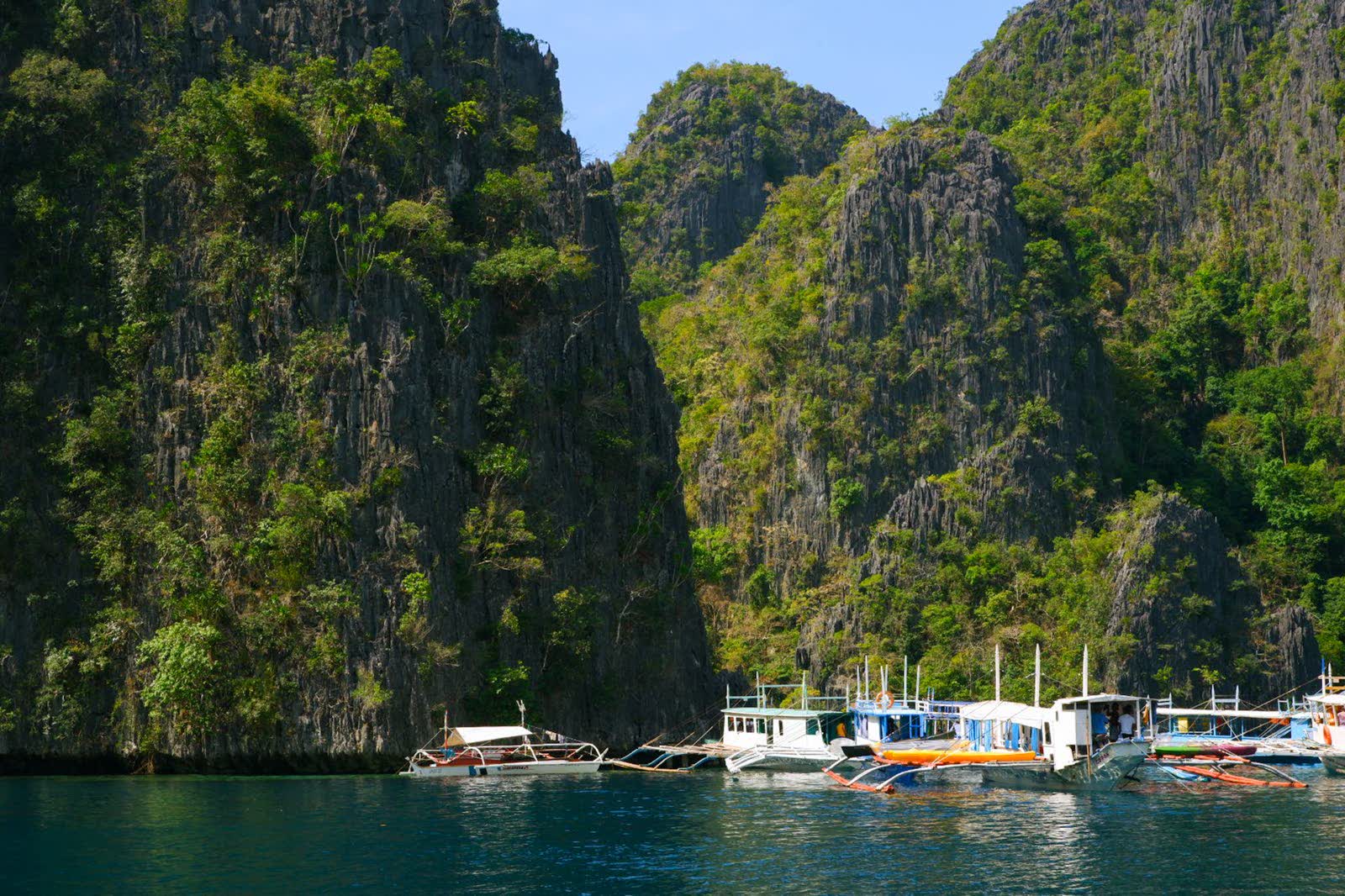
At the heart of the city, Balayong People's Park grows a forest of balayong trees that bloom pink every summer. Every Valentine's Day the city plants mangroves, and every June it throws a feast for the forest itself.
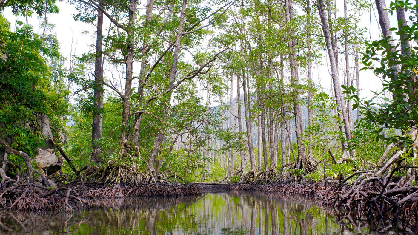
Step out of the centre and the rivers run through rainforest and mangrove, home to hornbills, kingfishers and the fireflies of Iwahig.
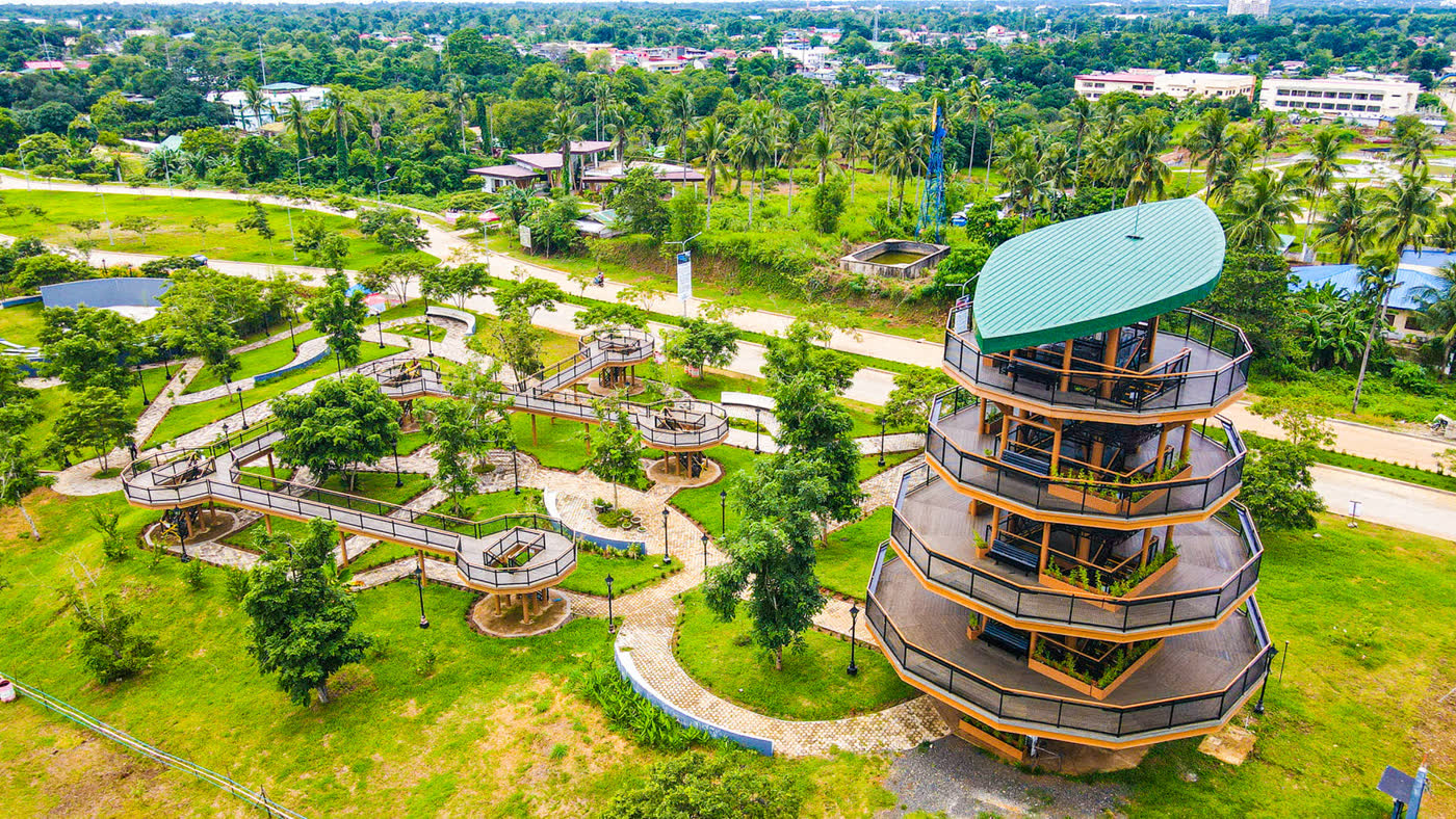
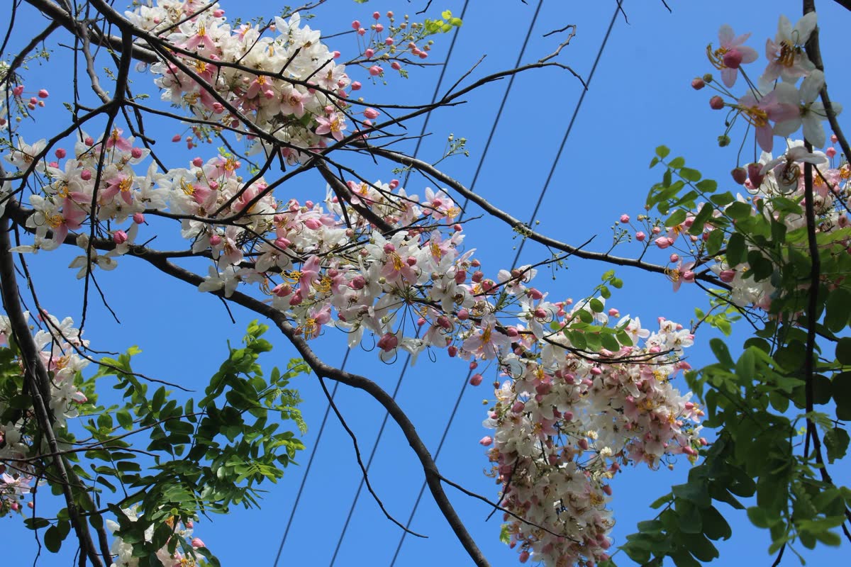
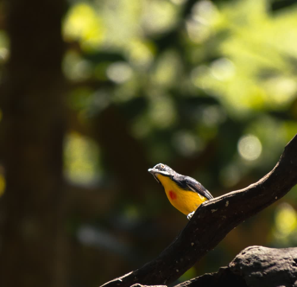
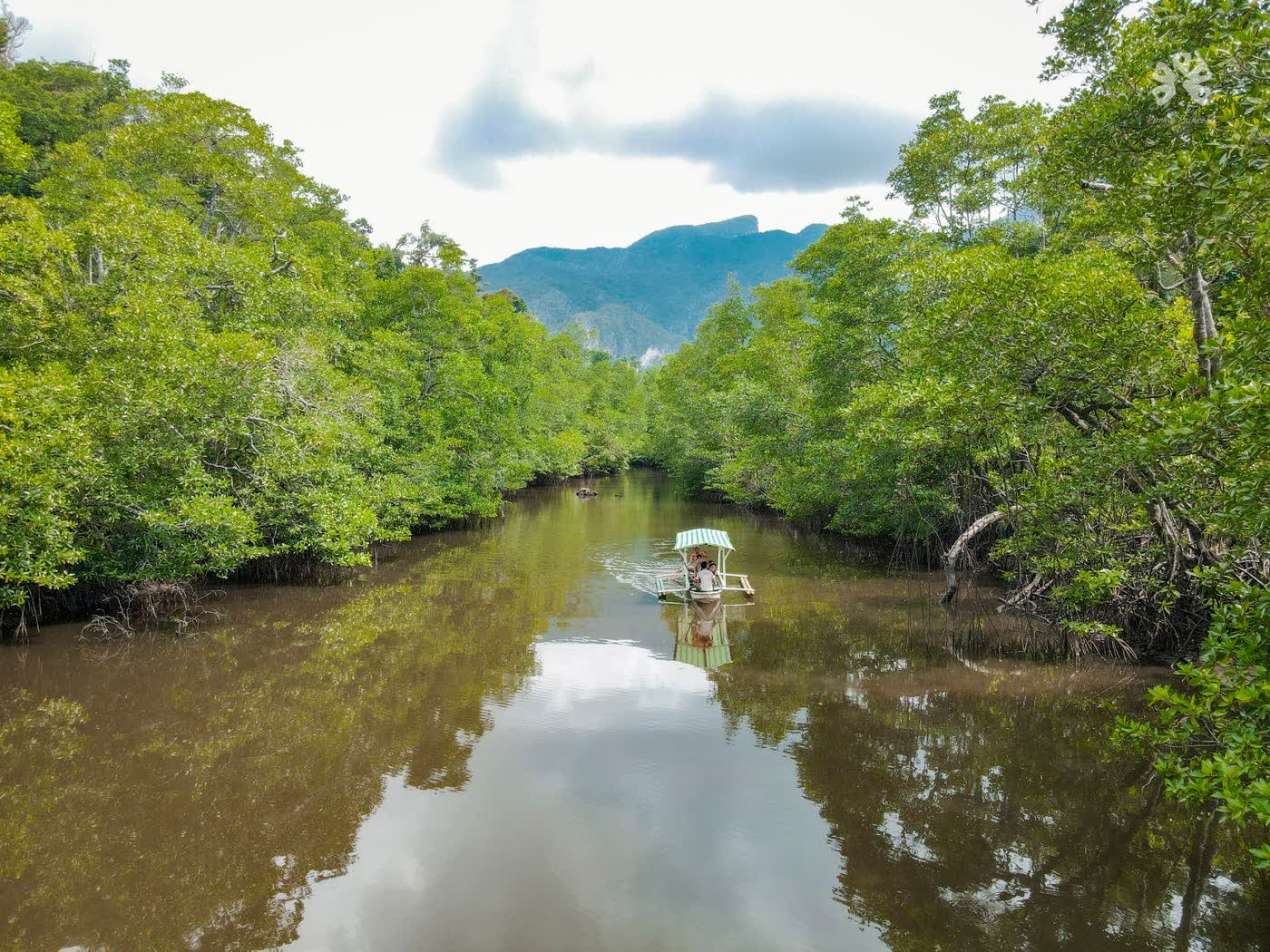
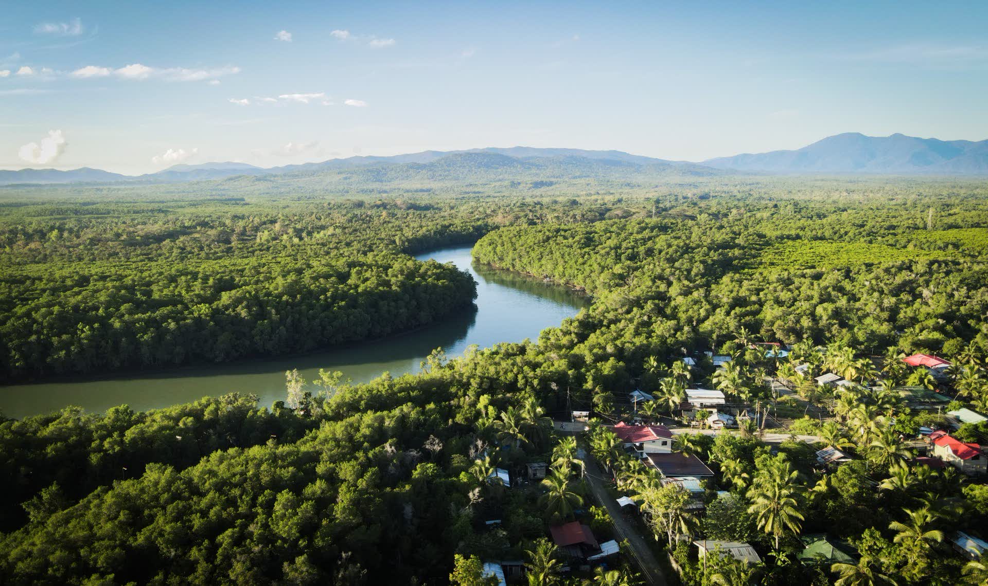
“Where nature begins and never ends.”The city's promise
Climb a rock, fly over the canopy, swim under a waterfall, then watch the sun go down from a hill. All before dinner.

Ziplines over the forest, from Ugong Rock and beyond.
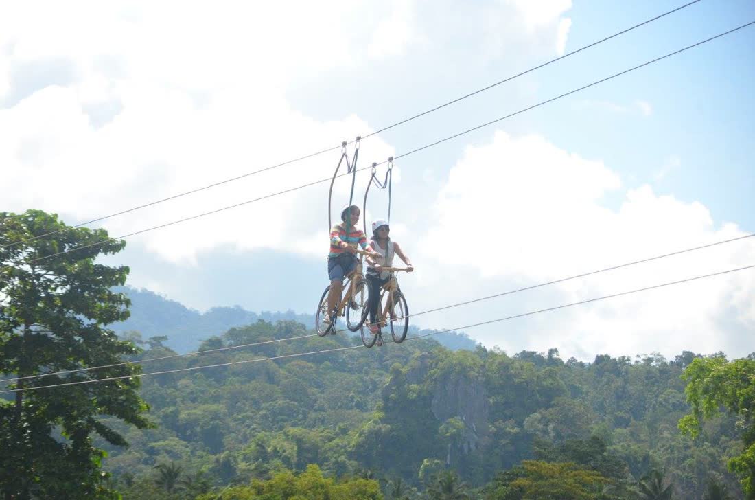
A bicycle on a cable, high above the canopy.
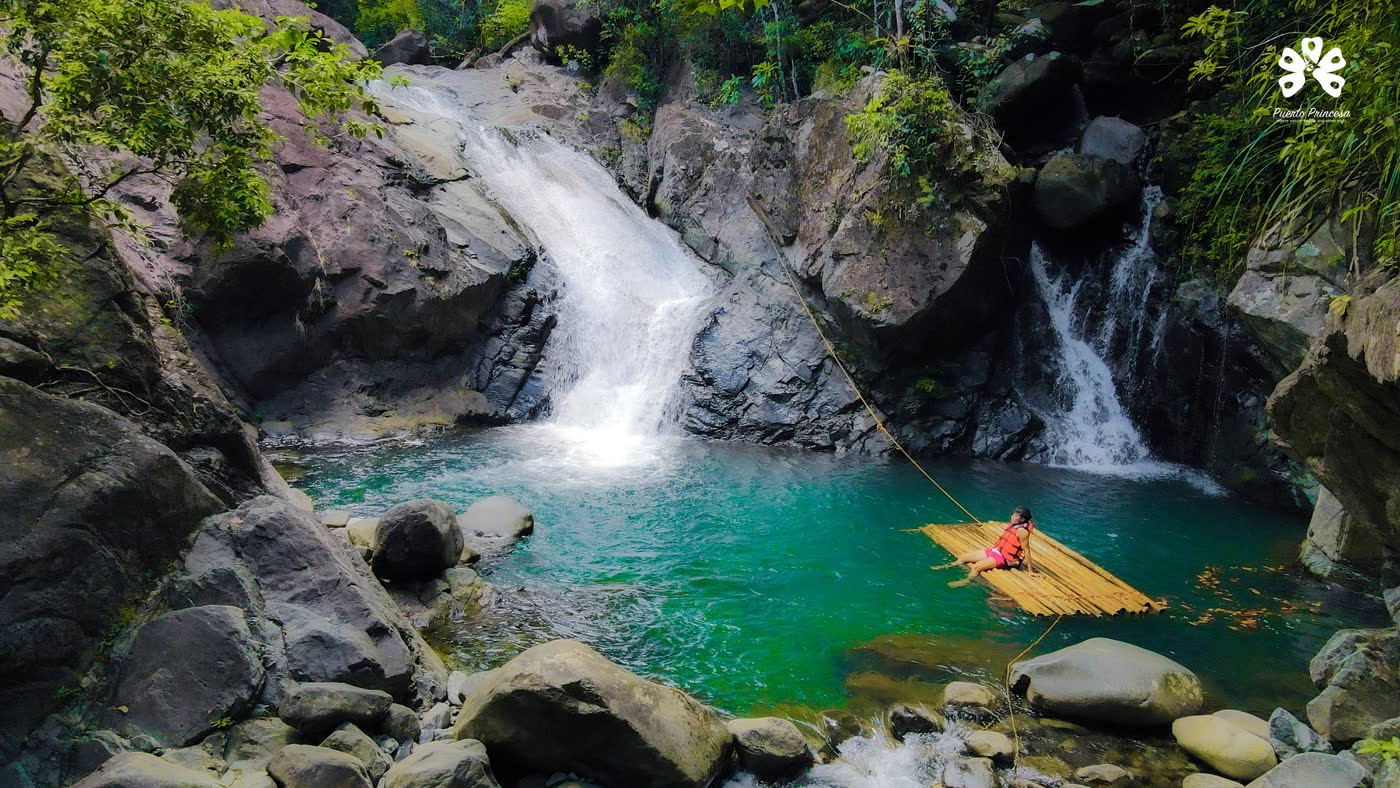
Cold pools in the hills, reached on foot and crossed by bamboo raft.
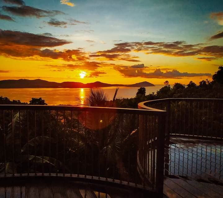
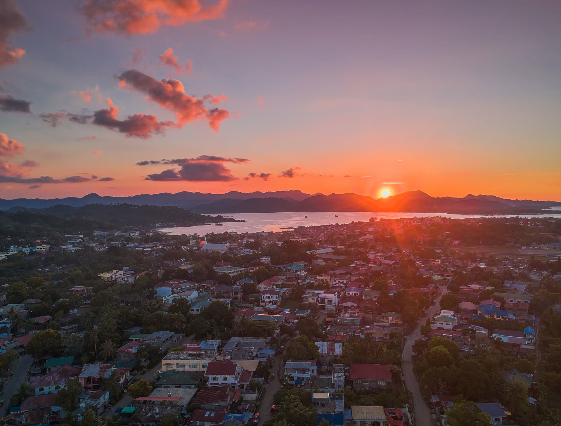
End the day on a viewdeck, with the bay turning gold below.
Legend says a princess-like maiden walked here on certain nights. The sailors had a simpler reason for the name: the finest harbour they had ever seen.
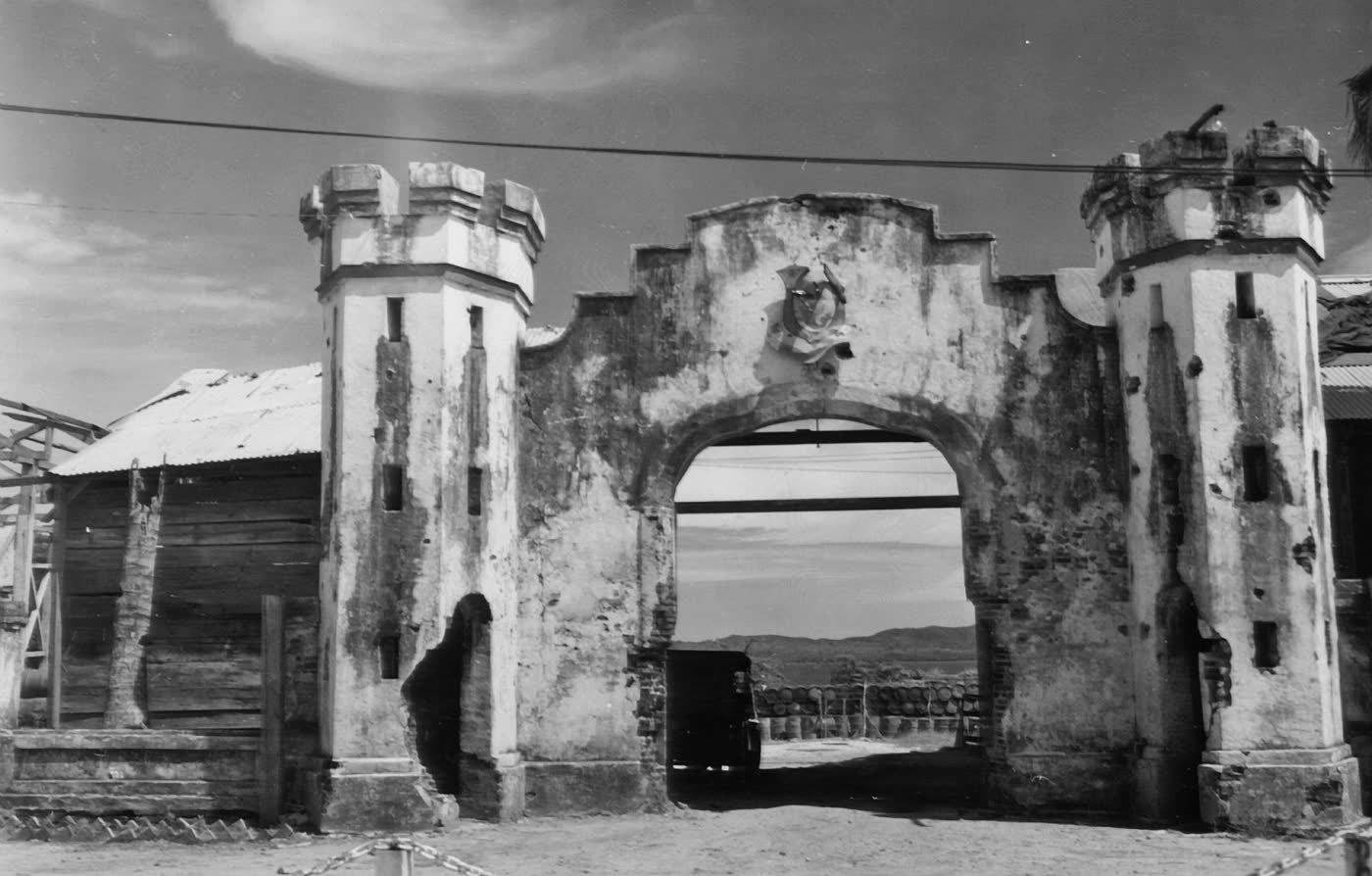
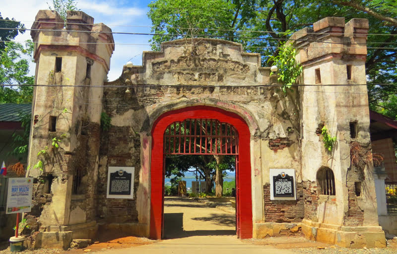
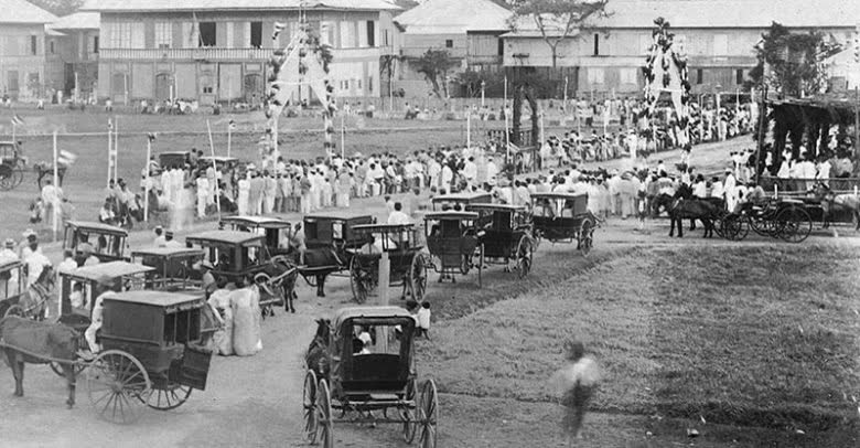
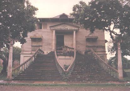
Spanish explorers came ashore on 4 March 1872, looking for a capital for Palawan. They rowed in, climbed a steep hill, and found a wide plateau above a bay deep enough for any ship.
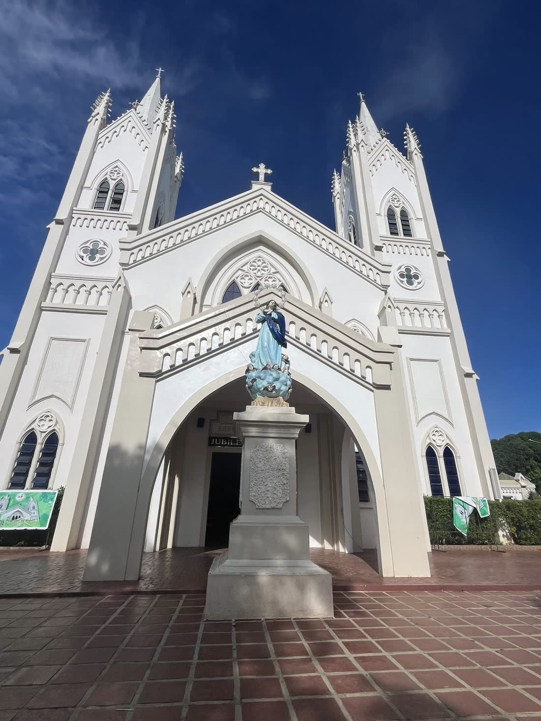
The town took its name from Princess Asunción, daughter of Queen Isabella II. Fr. Antonio Muro levelled part of the hill for a chapel, on the ground where the cathedral stands today.
By 1883 there were twelve roads, a hospital and a well-built port. By 1894 it was counted among the most beautiful towns in the country, for its orderly streets and its cleanliness.
It still is. Puerto Princesa has since become a model for clean, green and well-run cities across the Philippines.
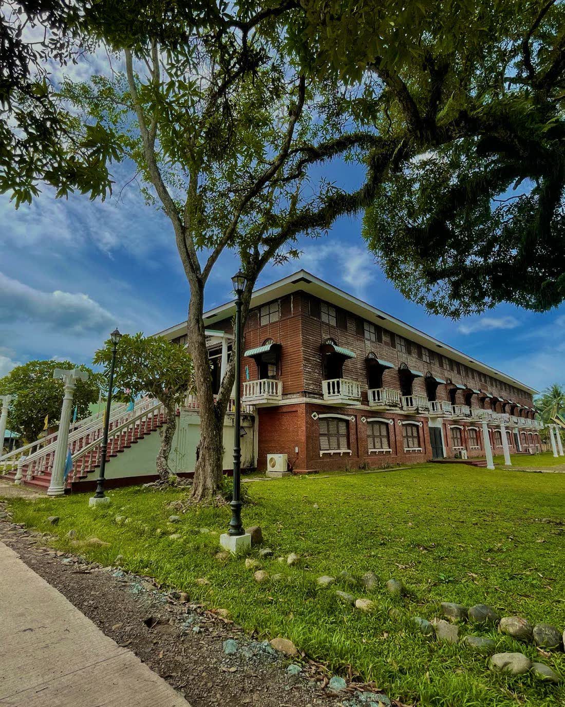
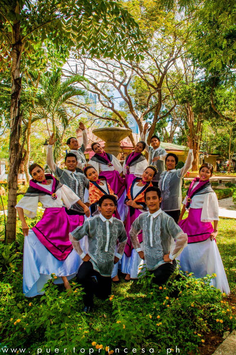
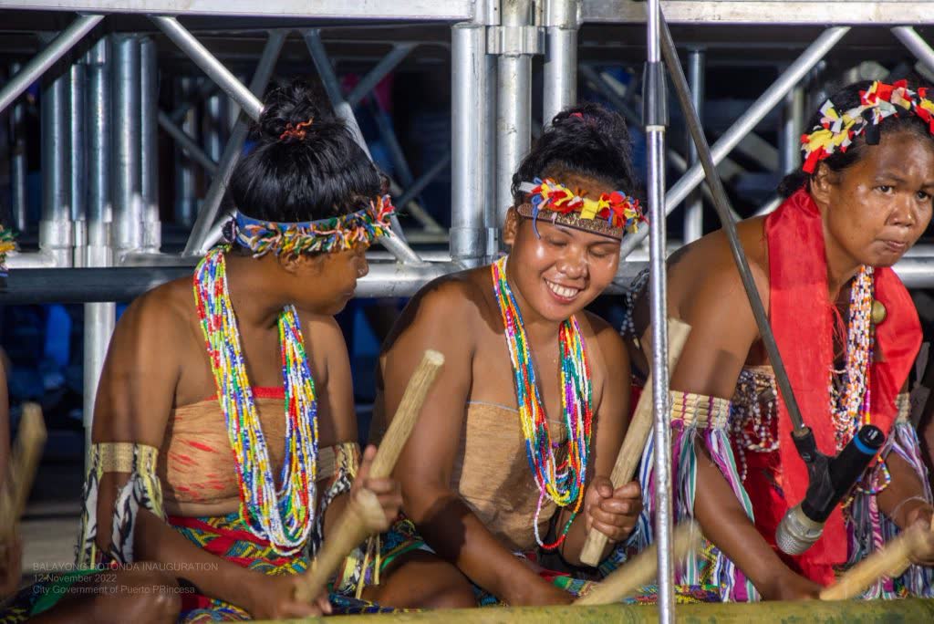
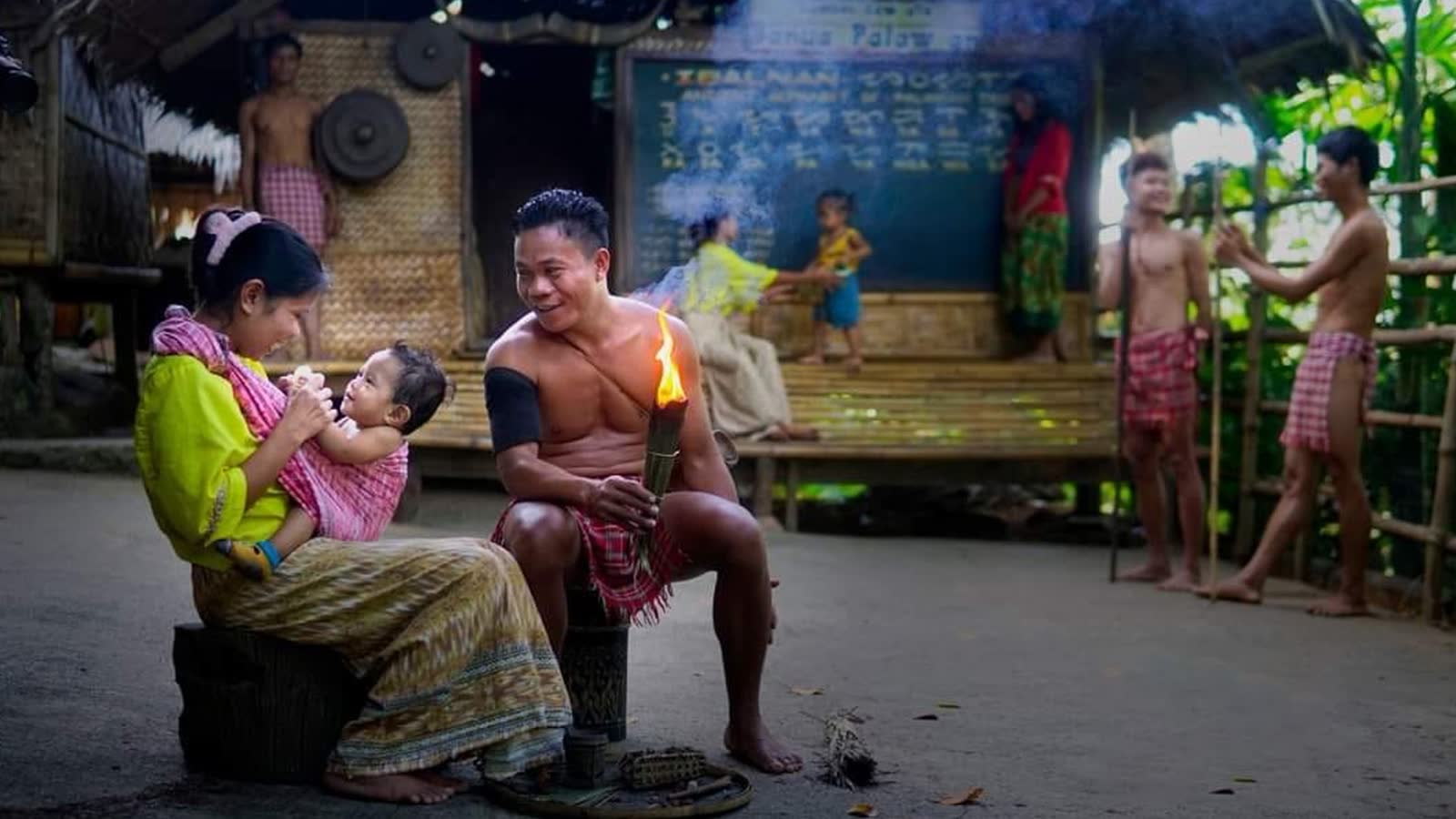
The Cuyunon were here first among the lowlanders, with their own songs and stories. The Tagbanua, Batak and Palaw'an keep older traditions still, in the mountains and along the coast.
Then came families from every corner of the country, and the city became a melting pot: Cuyuno, Tagalog, Cebuano, Ilocano and English, all spoken in one market.
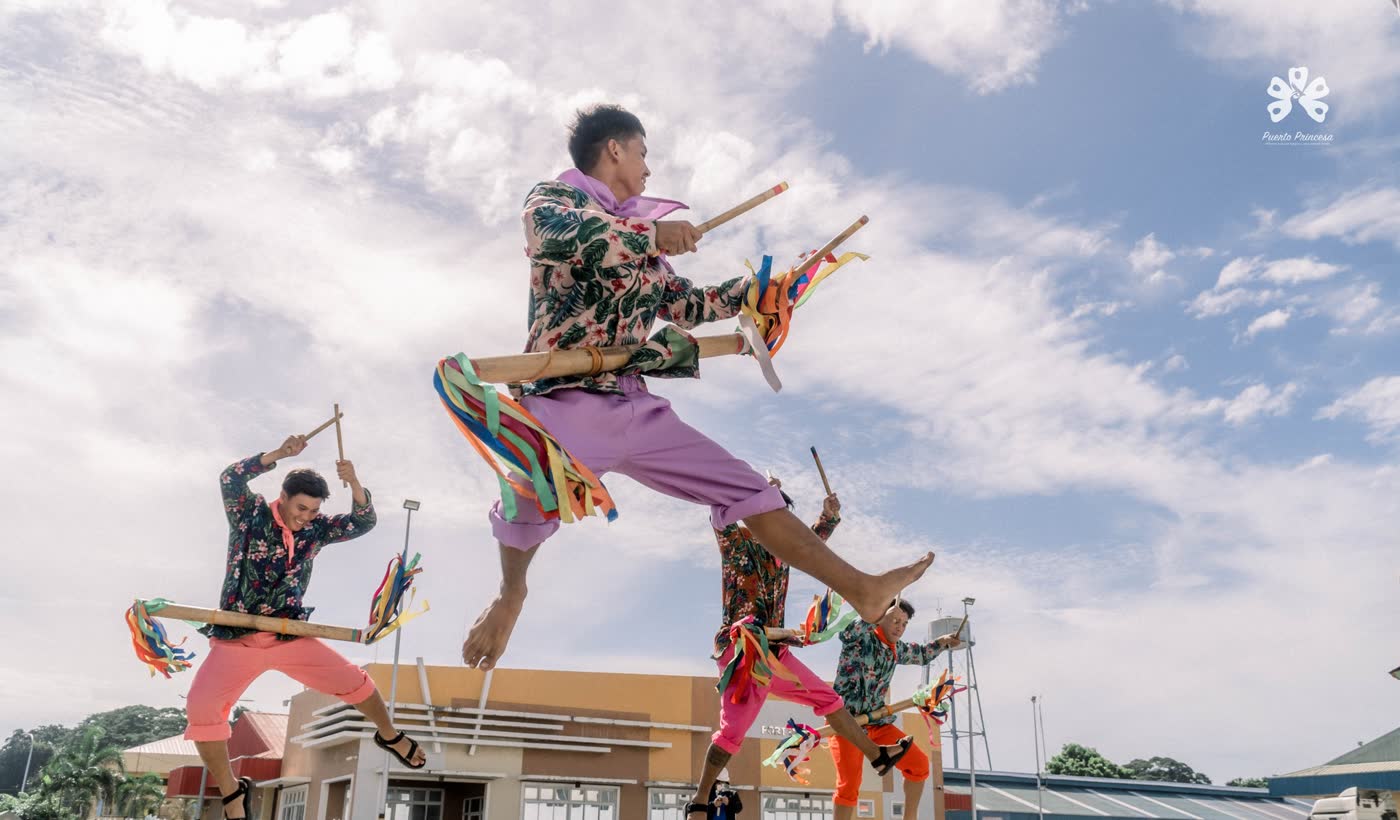
The city keeps its calendar full: new year by the bay, mangroves for Valentine's, and a birthday every March in pink.
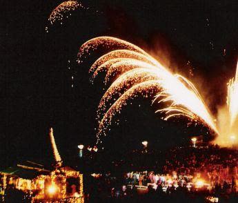
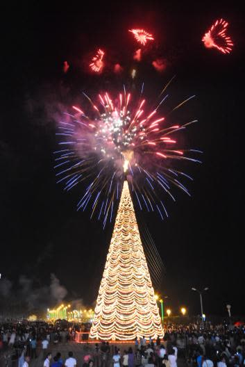 1 JanuaryBagong Taon sa BaybayThe new year welcomed by the bay, with lights and
fireworks.
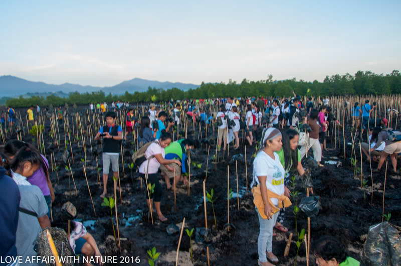 14 FebruaryLove Affair with NatureThe city celebrates Valentine's Day by planting
mangroves.
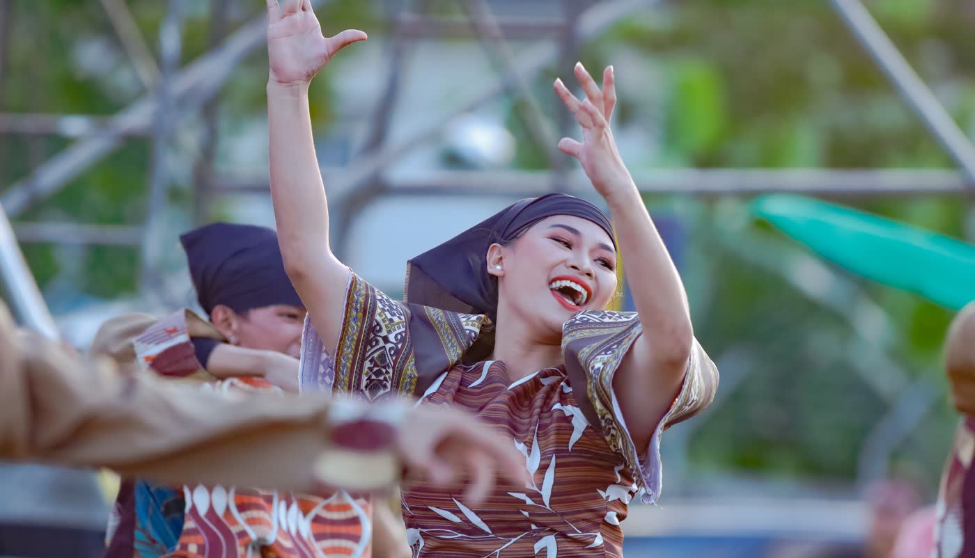 4 MarchBalayong FestivalThe city's founding anniversary, named for its blossoming
trees.
 AprilPangalipay sa BaybaySummer festivities by the bay.
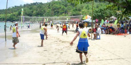 1 MayKaragatan FestivalA celebration of the sea, with beach games and sports.
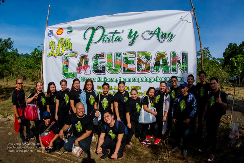 JunePista y ang CaguebanThe feast of the forest: a city-wide tree-planting day.
Puerto Princesa is the gateway to Palawan, and one of the easiest places in the country to reach by air, sea or road.
Daily flights land at Puerto Princesa International Airport (PPS), ten minutes from the centre.
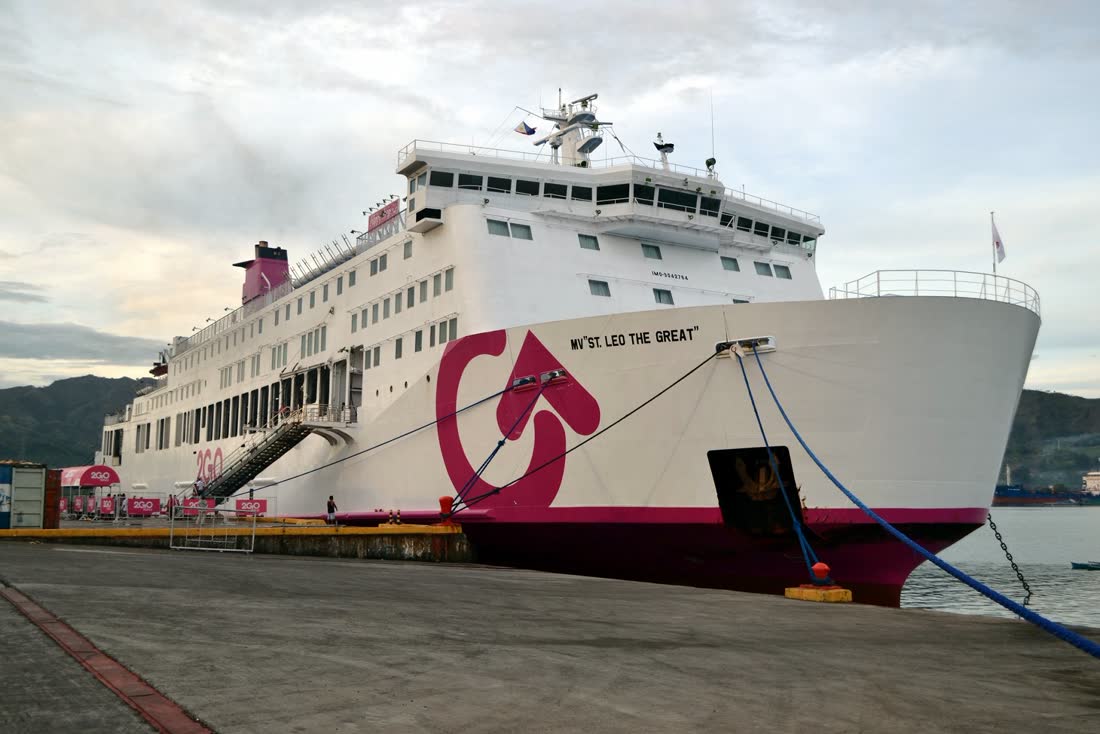
For the slow and scenic way, a weekly ferry sails from Manila and arrives the next afternoon.
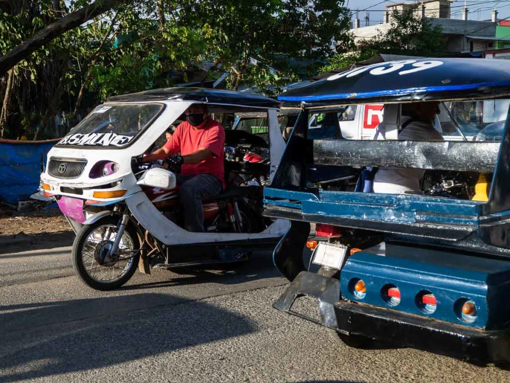
Tricycles for short hops, jeepneys on fixed routes, and vans for day trips to Sabang and the river.
April to June, when the seas are calm. February is the driest month; September the wettest.
Light clothes, reef-safe sunscreen and a warm layer: forest nights can turn cool after rain.

Boxes of hopia and pastries from the city's bakeries: the pasalubong everyone expects.
For the people who live here, and everyone who keeps the city running: online services, offices and where to find them.
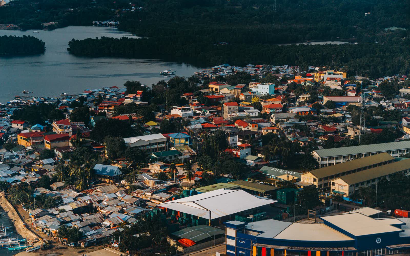
Puerto Princesa has long been held up as a model city: for cleanliness, for protecting its forests and seas, and for local government that answers to its people.
From permits to payments, most of what you need from City Hall now starts online.
The national emergency hotline. City hotlines are listed on the official site.

A governance that delivers
Not tomorrow, but today: the Mayor's call for public service that is felt in every community.
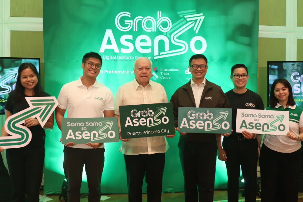
Mayor Bayron's administration has worked to bring government closer to the people: four Mini City Halls, upgraded satellite clinics in the barangays, and Ugnayan sa Barangay, which takes city services and direct dialogue to remote communities.
Its Caring Program, the Mapagkalingang Programa, supports students, senior citizens, persons with disability, barangay tanods, teachers and uniformed personnel, alongside work on roads, drainage, tourism and youth development.
“Health is wealth, and prevention is better than cure.”
“Peace and order is everybody's business.”
City services and dialogue, brought to remote and underserved barangays.
Four satellite city halls, so residents can transact closer to home.
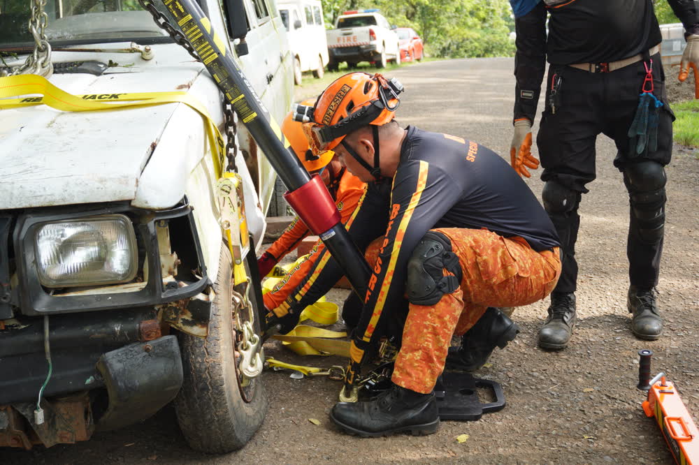
Primary care, treatment and emergency response in far-flung barangays.
Support for young Puerto Princesans through their studies.
A flagship caring program for the city's elders since 2013.
A quarterly allowance for public school teachers.
Festival features from the city's archive, and the latest from the City Information Office.
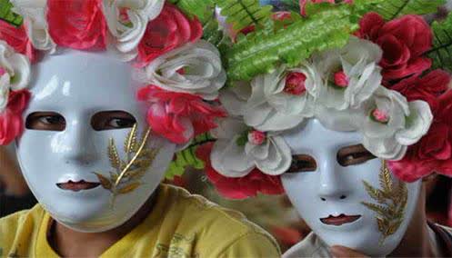
Balayong is the Cuyuno name for the Palawan cherry, whose pale pink blossoms now line the city's streets. Every founding anniversary, the city celebrates it with a festival of flowers, music and street dancing.
Read the story →
The giant Christmas tree is lit on the first of December, opening a month of nightly shows.
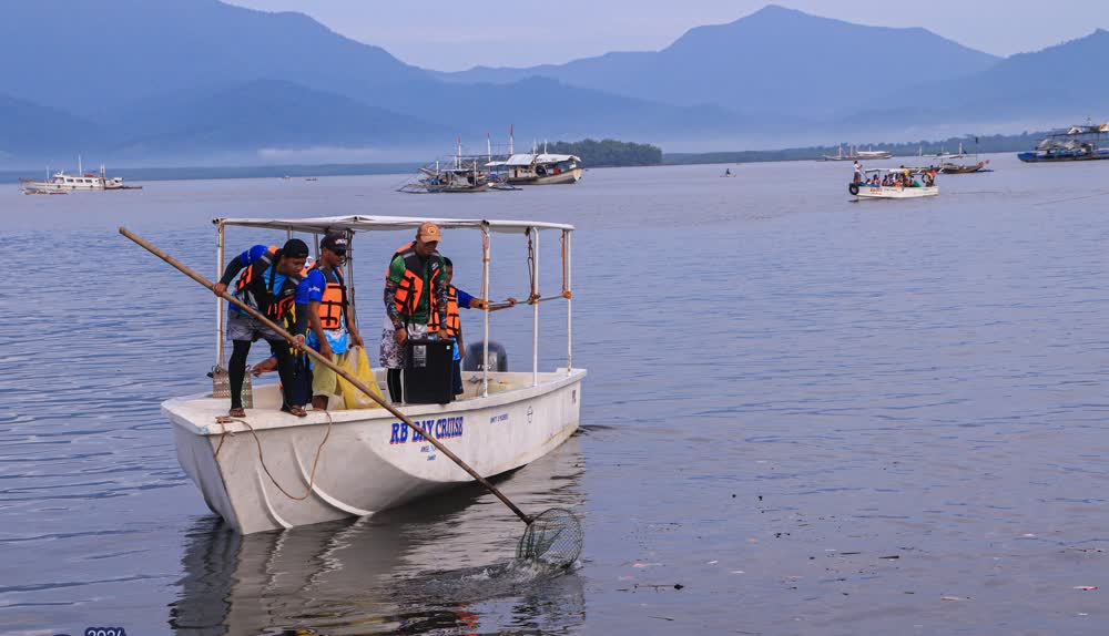
Every third Sunday of September, the city clears its shorelines with the rest of the world.
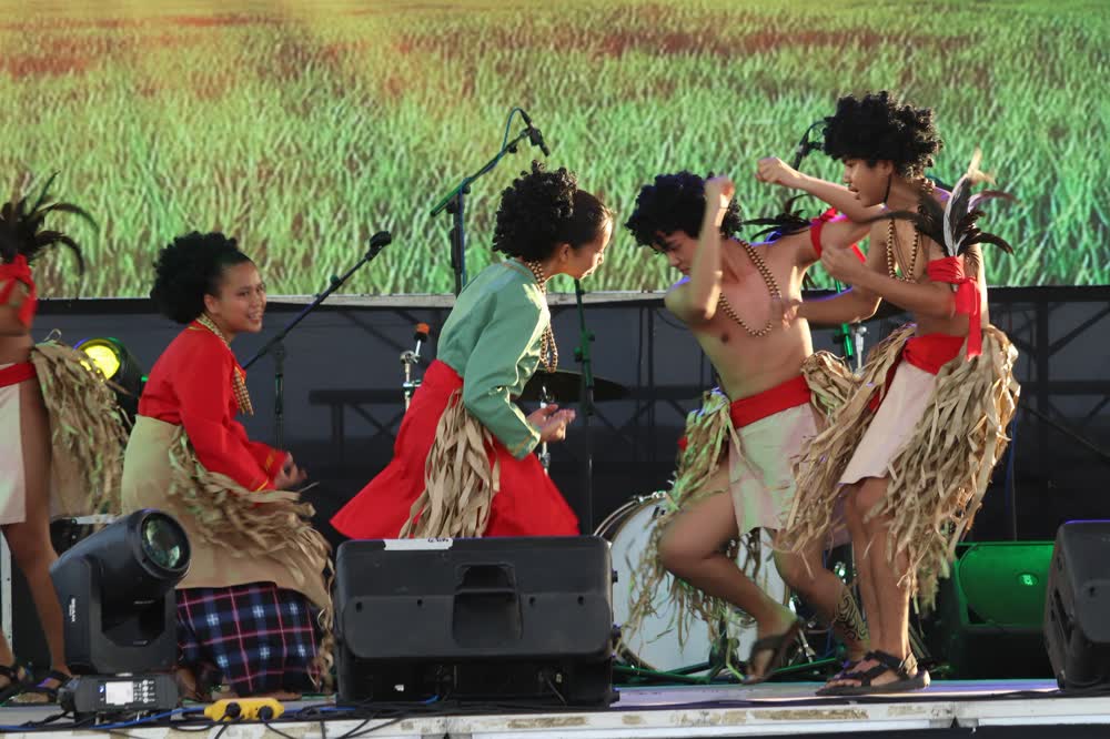
Two months of tours, trails and shows across the city's natural wonders.
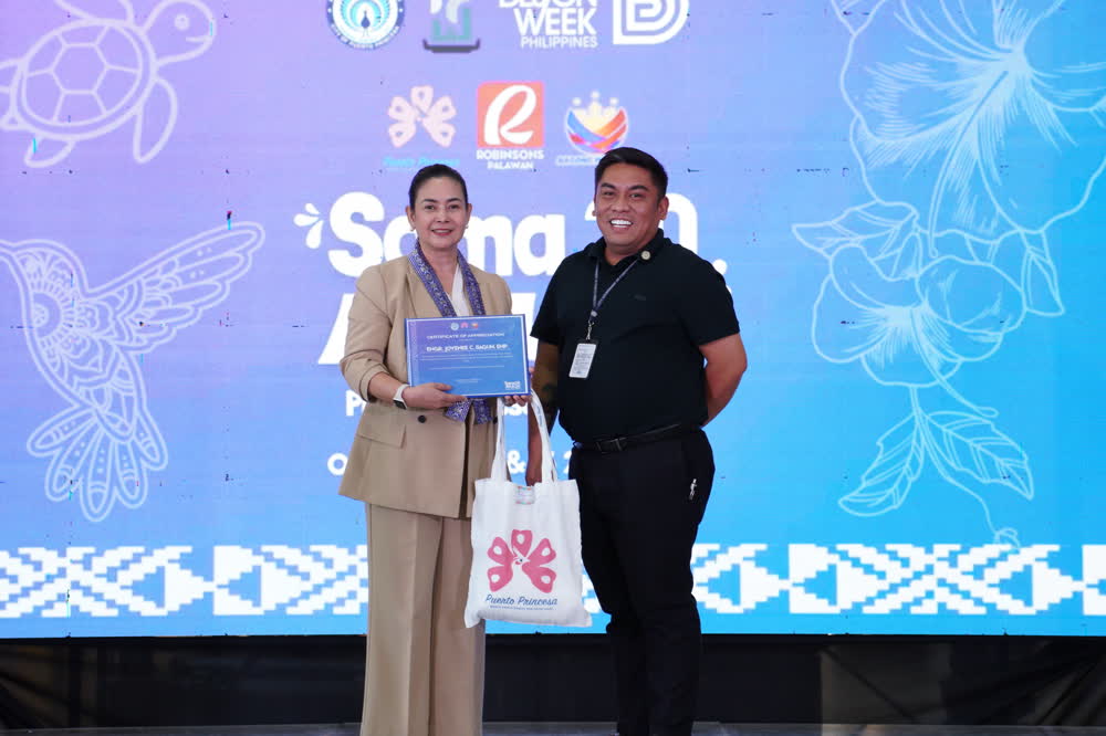
Stories and headlines from puertoprincesa.ph, October 2026, summarised in English.
The river, the islands and the bay are waiting.